Ghumoopedia — Explore, Discover, Experience
Sign in
Muktagiri, near Athner

City guide · Madhya Pradesh

Athner

Athner is a nagar parishad in Betul district, in southern Madhya Pradesh. Its importance is chiefly regional: it serves residents of nearby villages and links them with the district’s towns and administrative centres.

Famous for

  • Betul district connections
  • Regional service-town role
  • Agricultural hinterland
  • Nearby village network
  • Satpura region setting

Why Athner matters

Athner is a nagar parishad in Betul district, in southern Madhya Pradesh. Its importance is chiefly regional: it serves residents of nearby villages and links them with the district’s towns and administrative centres. Betul, about 35 km away, is the principal nearby urban centre; Multai, Bhainsdehi and Amla are also within reach. The surrounding settlements include Gunkhed and Dhamori, each about 3 km away, as well as Gujarmal, Yenkheda and Khapa.

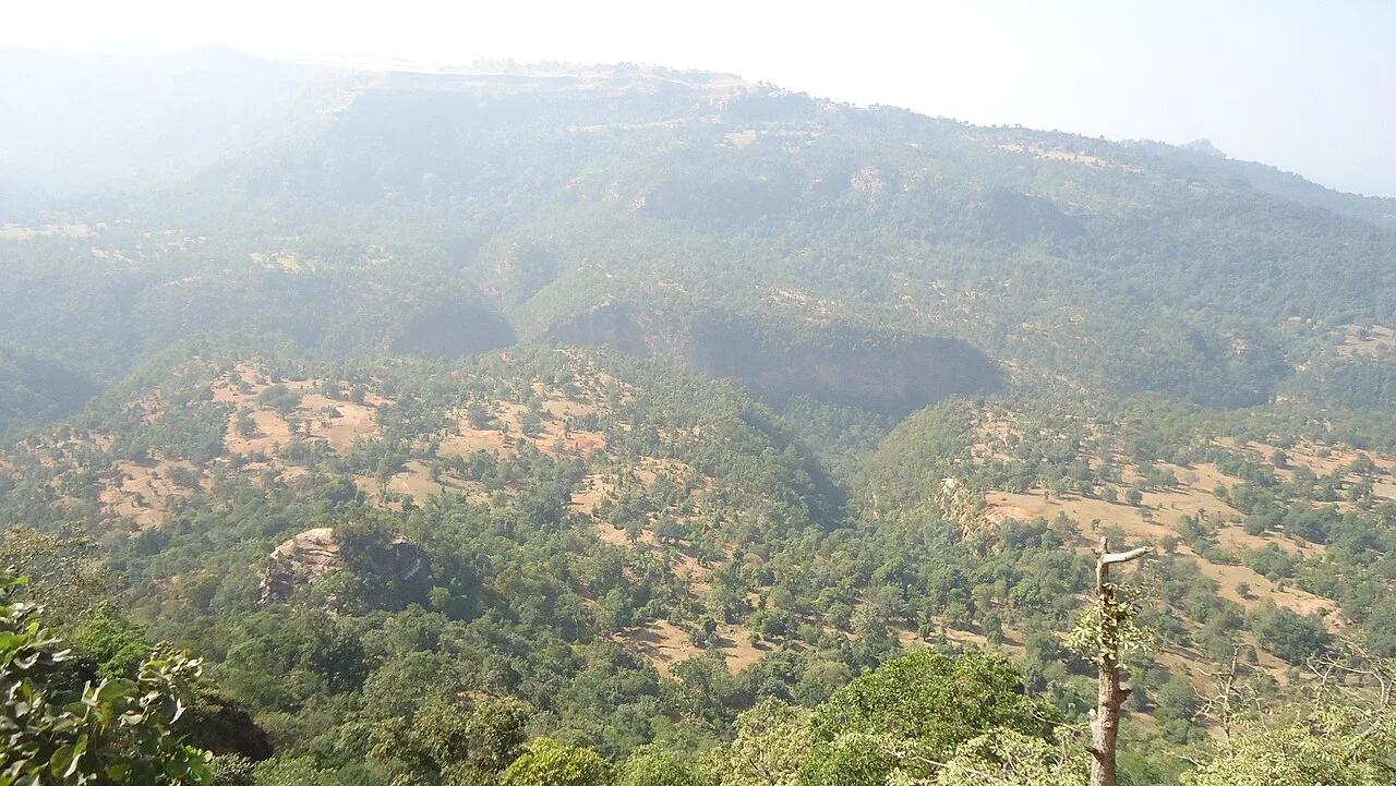
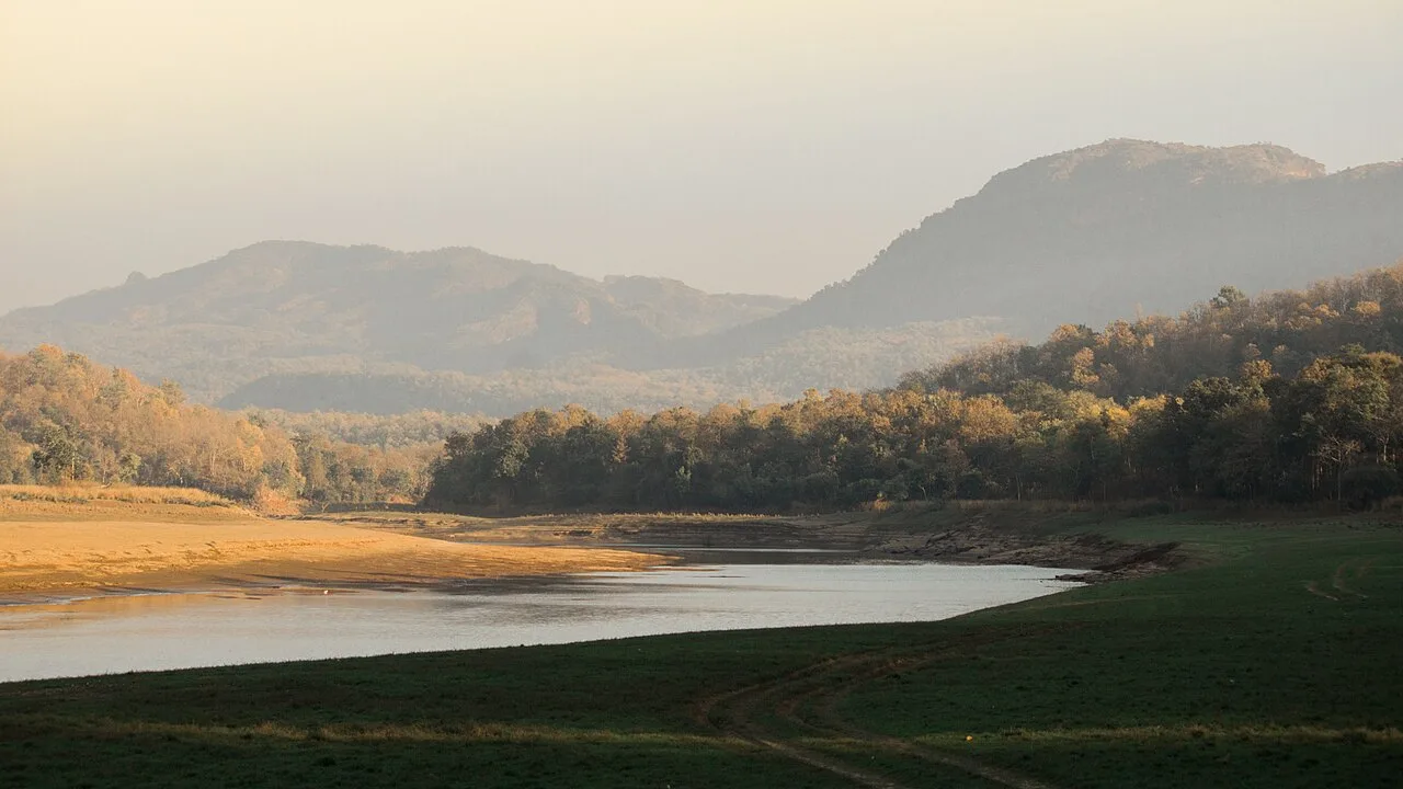
Athner is less a destination for a single landmark than a place to experience everyday life in a small central Indian town. Its setting connects the Betul uplands with neighbouring tehsils and communities, while local shops and services support the surrounding rural area. Visitors may use the town as a base for short journeys through the district, or as a stop between Betul and settlements to the south and west. The landscape and village connections, rather than a large visitor attraction, are central to Athner’s character.
Famous for: crafts, trade & products

Athner’s identity is rooted in its role as a local service and trading centre for nearby villages. The town’s everyday shops and bazaar area are the practical places to look for groceries, household goods and locally grown seasonal produce. Agricultural activity across the surrounding countryside shapes the rhythm of trade, although Athner is not especially associated with a widely recognised textile, handicraft or GI-tagged product. Visitors looking for specialist crafts or branded regional foods may find a broader selection in larger district towns.

The town’s civic role is represented by its nagar parishad, while its links to Betul and neighbouring settlements support routine business, education and access to services. Rather than a single market or institution drawing visitors from far away, Athner’s value lies in serving its local catchment. A walk through the central shopping streets offers a modest view of daily commerce; nearby villages such as Gunkhed, Dhamori and Khapa show how closely the town is connected to its rural surroundings.

History

Athner’s growth is best understood through its relationship with the villages and towns of the Betul region. Its position among rural settlements made it a natural place for local services and exchange, and its present status as a nagar parishad reflects its role as a small urban centre. The surrounding region has a longer history shaped by central India’s changing political boundaries and communities, including Gond polities, Maratha influence and, later, British administration. These broader histories belong to the district and region rather than to a single defining event in Athner itself.

In modern times, roads and administrative connections have tied Athner more closely to Betul, Multai, Bhainsdehi and other nearby centres. The town continues to serve a largely local purpose: residents from neighbouring villages come for everyday needs, while larger services and onward connections are found in bigger towns. Its development has therefore been gradual and practical, shaped by regional access and civic administration rather than by a major industrial or monumental expansion.

Food, festivals & culture

Daily life in Athner reflects the wider Betul region, where Hindi is widely used and Marathi is also familiar because of the town’s position near Maharashtra. Languages spoken across the district include regional and Adivasi languages, with usage varying between communities and villages. Home cooking commonly draws on grains, pulses and seasonal vegetables available in central India; meals and snacks are usually found through ordinary local eateries and household kitchens rather than a single celebrated Athner speciality.

Diwali in autumn, Holi in spring, Navratri and Dussehra are among the festivals observed in the region, alongside community and family gatherings. The calendar also follows agricultural seasons and local religious observances. Hindu temples and neighbourhood shrines form part of everyday worship, while nearby villages maintain their own places of devotion and community traditions. Music, dance and celebration are often most visible at festivals, weddings and seasonal gatherings, with styles reflecting the varied cultural communities of Betul district.

Visiting the city

The cooler months, roughly October to February, are generally the most comfortable time to visit; summer afternoons can be hot, while the monsoon brings greener countryside and wet roads. Betul railway station is the main rail gateway for Athner. The nearest major airport is Dr. Babasaheb Ambedkar International Airport in Nagpur, from which onward travel is by road or rail.

Athner is connected by road with Betul, about 35 km away, and with Multai, Bhainsdehi and Amla. Local autos and other road transport can help with short trips, though arrangements may be simplest through local contacts. Explore the central bazaar and civic centre for a sense of town life, then take short drives toward nearby villages such as Gunkhed, Dhamori, Khapa or Yenkheda. Betul is a useful base for wider district excursions.

Trips from the city

Nearest places to visit from Athner

Our closest destination guides, by straight-line distance.

Muktagiri

42 km away · Betul district

Muktagiri

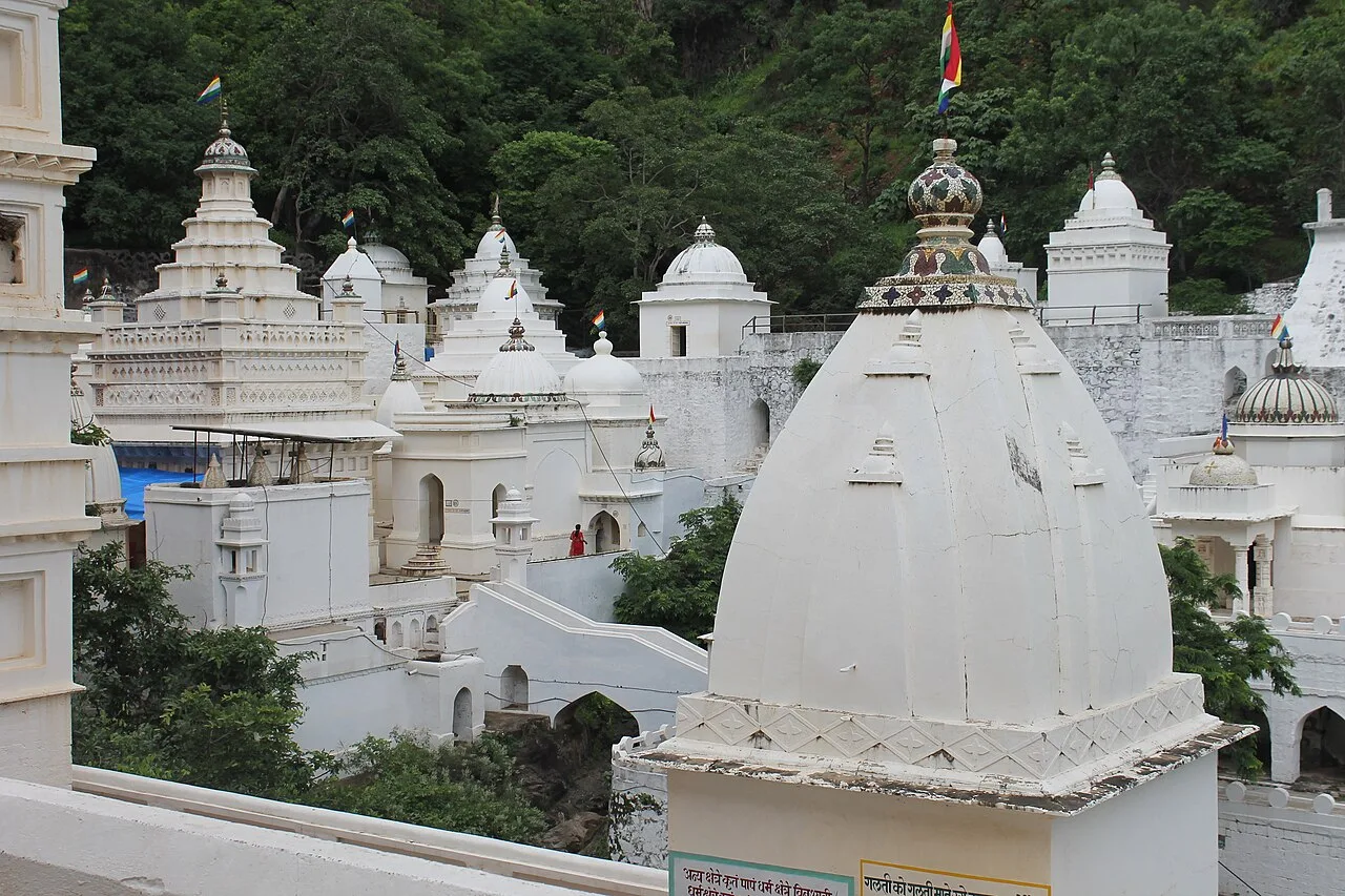
Muktagiri, also known as Mendhagiri, is a Jain pilgrimage centre on the Madhya Pradesh–Maharashtra boundary. People visit for its importance as a Jain pilgrimage destination.

Patalkot

89 km away · Chhindwara district

Patalkot

Patalkot is a valley within Tamia tehsil, Chhindwara district, Madhya Pradesh, about 78 km from the district headquarters. Visitors are drawn by its tribal culture and rich herbal resources.

Satpura Tiger Reserve

102 km away · Hoshangabad district

Satpura Tiger Reserve

In Madhya Pradesh’s Narmadapuram district, Satpura Tiger Reserve takes its name from the Satpura Range. Visitors come to experience its abundant plant life and wildlife.

Dhupgarh Peak

103 km away · Hoshangabad district

Dhupgarh Peak

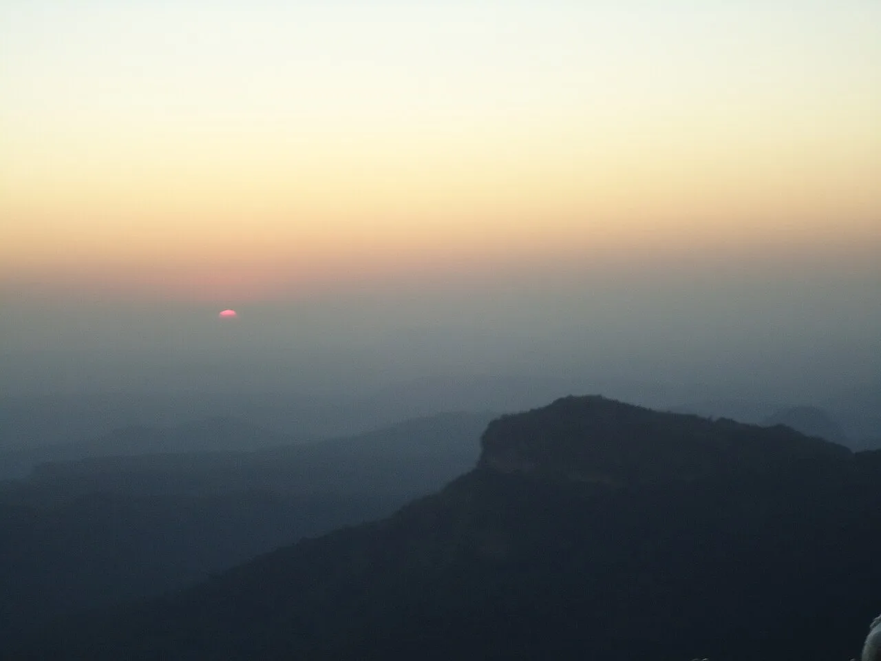
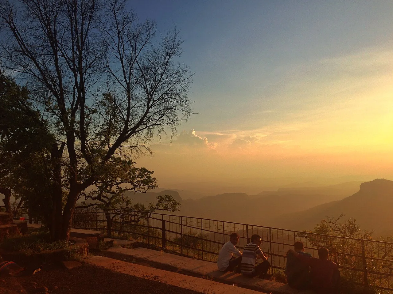
Dhupgarh, also known as Dhoopgarh, is a summit in Madhya Pradesh’s Satpura Range. Visitors go to the peak in Pachmarhi to watch the sun set.

105 km away · Narmadapuram district

Tawa Dam

Tawa Dam is an irrigation structure in Madhya Pradesh that created a reservoir on the Tawa River; visitors are drawn there particularly during the monsoon season.

Pachmarhi Hill Station

107 km away · Hoshangabad district

Pachmarhi Hill Station

Pachmarhi is a hill station in Madhya Pradesh’s Satpura range, known as the Queen of Satpura. Visitors come for its elevated setting and its location within protected natural areas.

Jatashankar

110 km away · Hoshangabad district

Jatashankar

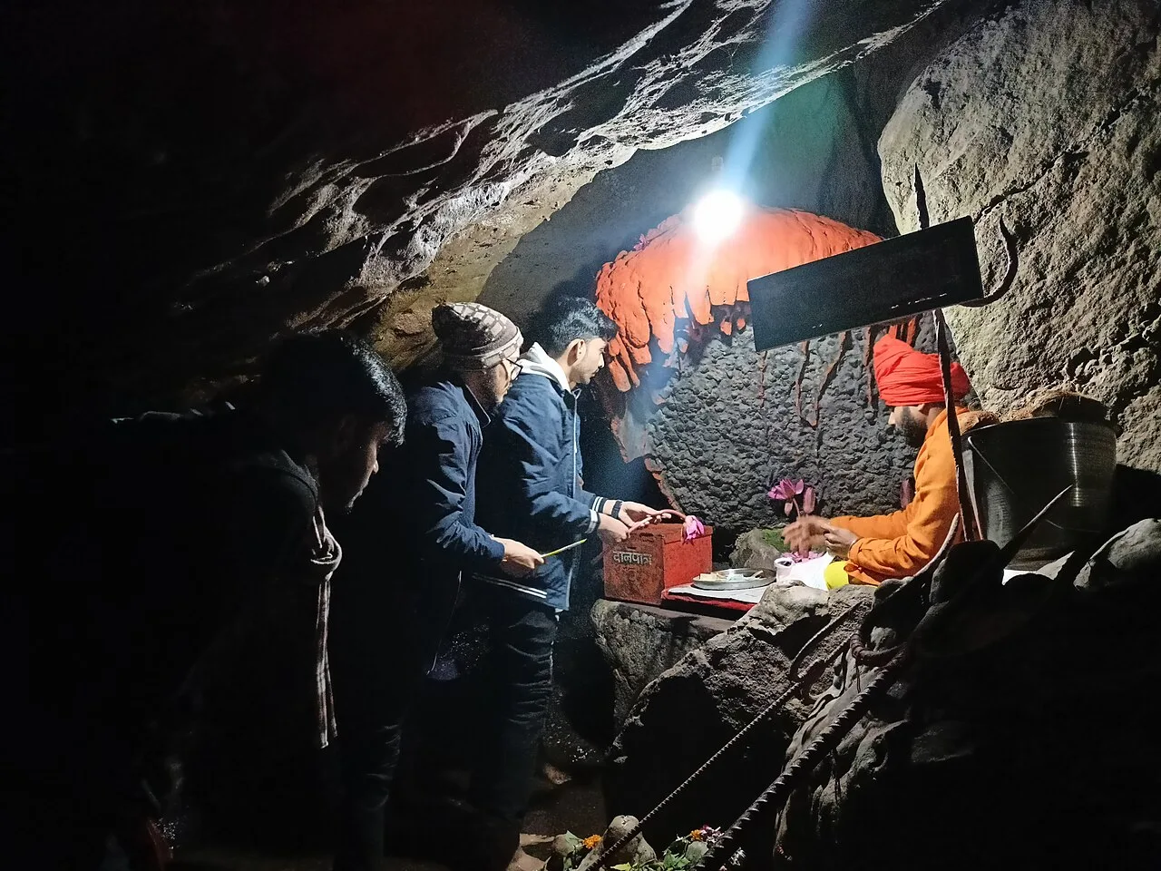
Jatashankar, also called Jata Shankar, is a cave shrine dedicated to Shiva north of Pachmarhi in Madhya Pradesh, visited by pilgrims to worship its natural lingams.

Sethani Ghat, Narmadapuram

128 km away · Hoshangabad district

Sethani Ghat, Narmadapuram

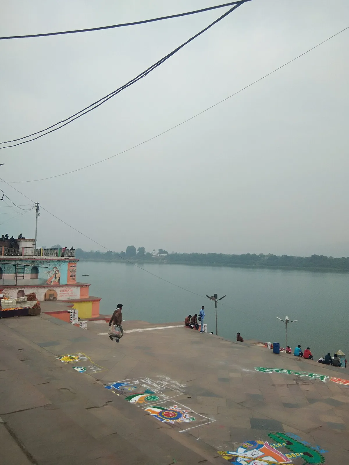
Sethani Ghat is a nineteenth-century riverfront structure at Narmadapuram, Madhya Pradesh. People visit for its scale and for Narmada Jayanti, when devotees gather and float lamps on the river.

Map

Athner on the map

  1. 1Muktagiri
  2. 2Patalkot
  3. 3Satpura Tiger Reserve
  4. 4Dhupgarh Peak
  5. 5Tawa Dam
  6. 6Pachmarhi Hill Station
  7. 7Jatashankar
  8. 8Sethani Ghat, Narmadapuram

Madhya Pradesh

Other cities to explore