Ghumoopedia — Explore, Discover, Experience
Sign in
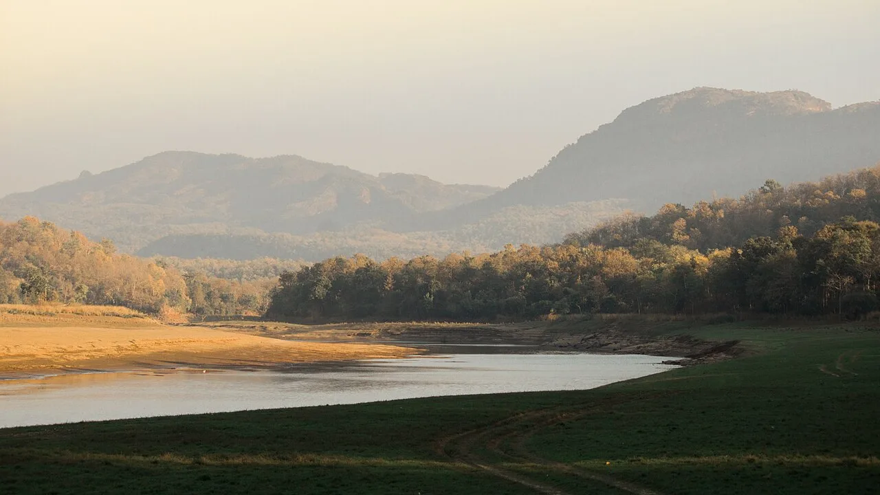
Satpura Tiger Reserve, near Baraily

City guide · Madhya Pradesh

Baraily

Baraily is a municipal town in Raisen district and the administrative centre of Baraily tehsil. Set beside the Barna River, it serves nearby villages as a place for trade, public services and education.

Famous for

  • Barna River
  • National Krishi Upaj Mandi
  • Wheat and soybean trade
  • Seasonal rice and vegetables
  • Road link between Bhopal and Jabalpur

Why Baraily matters

Baraily is a municipal town in Raisen district and the administrative centre of Baraily tehsil. Set beside the Barna River, it serves nearby villages as a place for trade, public services and education. Its agricultural market is a regional draw: farmers bring wheat, soybean, rice and seasonal vegetables to the National Krishi Upaj Mandi, connecting local production with wider markets.

The town is also a useful road stop on the route between Bhopal and Jabalpur, with connections to places such as Pipariya, Pachmarhi, Begumganj and Sagar. Visitors are more likely to come for local business, family visits or onward travel than for a large set of established tourist attractions. Baraily’s schools and colleges add to its role as a service centre for the surrounding area. Its river setting and everyday market life offer a glimpse of a smaller agricultural town in central Madhya Pradesh.
Famous for: crafts, trade & products

Baraily is best known locally for agricultural trade rather than for a signature textile, handicraft or manufactured product. The National Krishi Upaj Mandi handles produce from the surrounding farming belt, including wheat, soybean and rice, as well as vegetables grown in different seasons. The mandi area is the most relevant place to see this side of the town, though buying and selling there is primarily commercial rather than a visitor-oriented market experience.

There is no widely established local craft or GI-tagged product associated with Baraily. Everyday shopping is centred on the town’s market and shops, where residents buy routine goods and seasonal produce; specific specialist shopping districts are not well documented. Baraily is also known in the area for its educational institutions, including Maria Vidhya Sadan, Shri Maniklal Nahar International School and Daffodils Public School, as well as private colleges. These schools and colleges serve local families and nearby communities, helping make the town an important service hub as well as a mandi town.

History

Baraily’s growth is closely tied to its position beside the Barna River and its role as a centre for the surrounding rural area. As the principal town of Baraily tehsil, it developed around local administration, trade and services for nearby villages. The agricultural economy, especially the movement of grain and other produce through the mandi, has helped sustain its importance in Raisen district.

A well-documented account identifying particular ruling dynasties, colonial-era events or a precise founding date for Baraily is not readily established, so its history is best described through these local functions rather than attributed to specific rulers. In the modern period, municipal administration, schools and colleges, road connections and public services have broadened the town’s role. Its position on the route linking Bhopal and Jabalpur supports movement of people and goods, while the mandi continues to connect local agriculture with regional commerce. Baraily also has a sub-jail, reflecting its administrative function.

Food, festivals & culture

Hindi is the main language of everyday communication, with regional speech and vocabulary heard in the surrounding area. Baraily’s food culture belongs to the broader central Madhya Pradesh tradition: home cooking commonly draws on wheat, pulses, rice and seasonal vegetables. There is no especially well-documented local dish or sweet that distinguishes the town, so visitors can expect familiar regional meals rather than a celebrated speciality.

Diwali in autumn, Holi in spring, and Navratri are among the major Hindu festivals observed in the area; Muslim residents mark Eid according to the Islamic calendar. Celebrations are generally centred on family, community and worship. The town has places of worship serving its residents, but no particular shrine or performance tradition is widely established as a major visitor attraction. Music and dance are more likely to be encountered through festivals, weddings and community events than through regular tourist performances.

Visiting the city

The cooler months, roughly October to February, are generally the most comfortable time to visit. Summer can be hot, while monsoon conditions may affect road travel. Baraily has no railway station of its own: Pipariya is the nearest main railway station, about 40 km away. The nearest airport is Raja Bhoj International Airport in Bhopal.

Road travel is the practical way to reach and explore the town. Baraily lies on a national-highway route connecting Bhopal and Jabalpur, and buses and private road services link it with nearby towns. Within Baraily, the town centre, the market and mandi area, and the Barna River side are useful places to explore for a short visit. These are everyday town areas rather than a defined tourist district; allow time for local road conditions and onward connections.

Trips from the city

Nearest places to visit from Baraily

Our closest destination guides, by straight-line distance.

56 km away · Narmadapuram district

Tawa Dam

Tawa Dam is an irrigation structure in Madhya Pradesh that created a reservoir on the Tawa River; visitors are drawn there particularly during the monsoon season.

Satpura Tiger Reserve

57 km away · Hoshangabad district

Satpura Tiger Reserve

In Madhya Pradesh’s Narmadapuram district, Satpura Tiger Reserve takes its name from the Satpura Range. Visitors come to experience its abundant plant life and wildlife.

Sethani Ghat, Narmadapuram

59 km away · Hoshangabad district

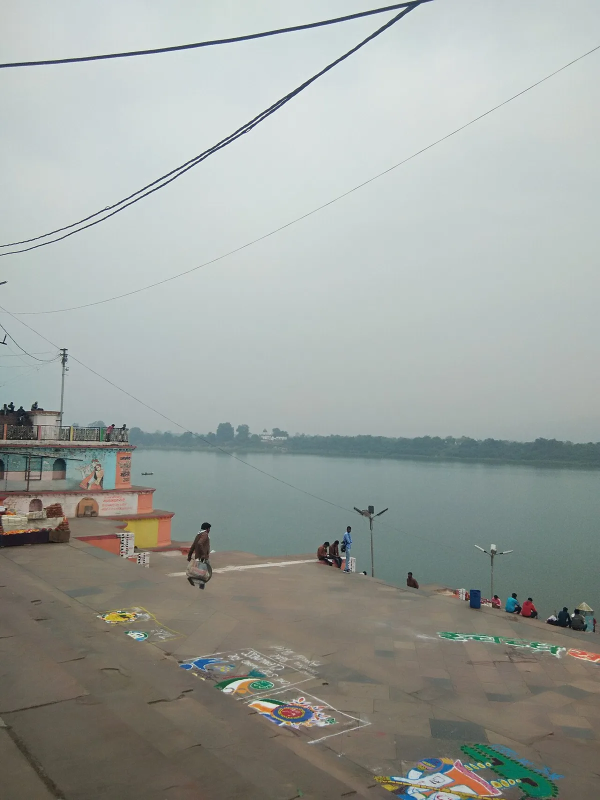
Sethani Ghat, Narmadapuram

Sethani Ghat is a nineteenth-century riverfront structure at Narmadapuram, Madhya Pradesh. People visit for its scale and for Narmada Jayanti, when devotees gather and float lamps on the river.

Jatashankar

62 km away · Hoshangabad district

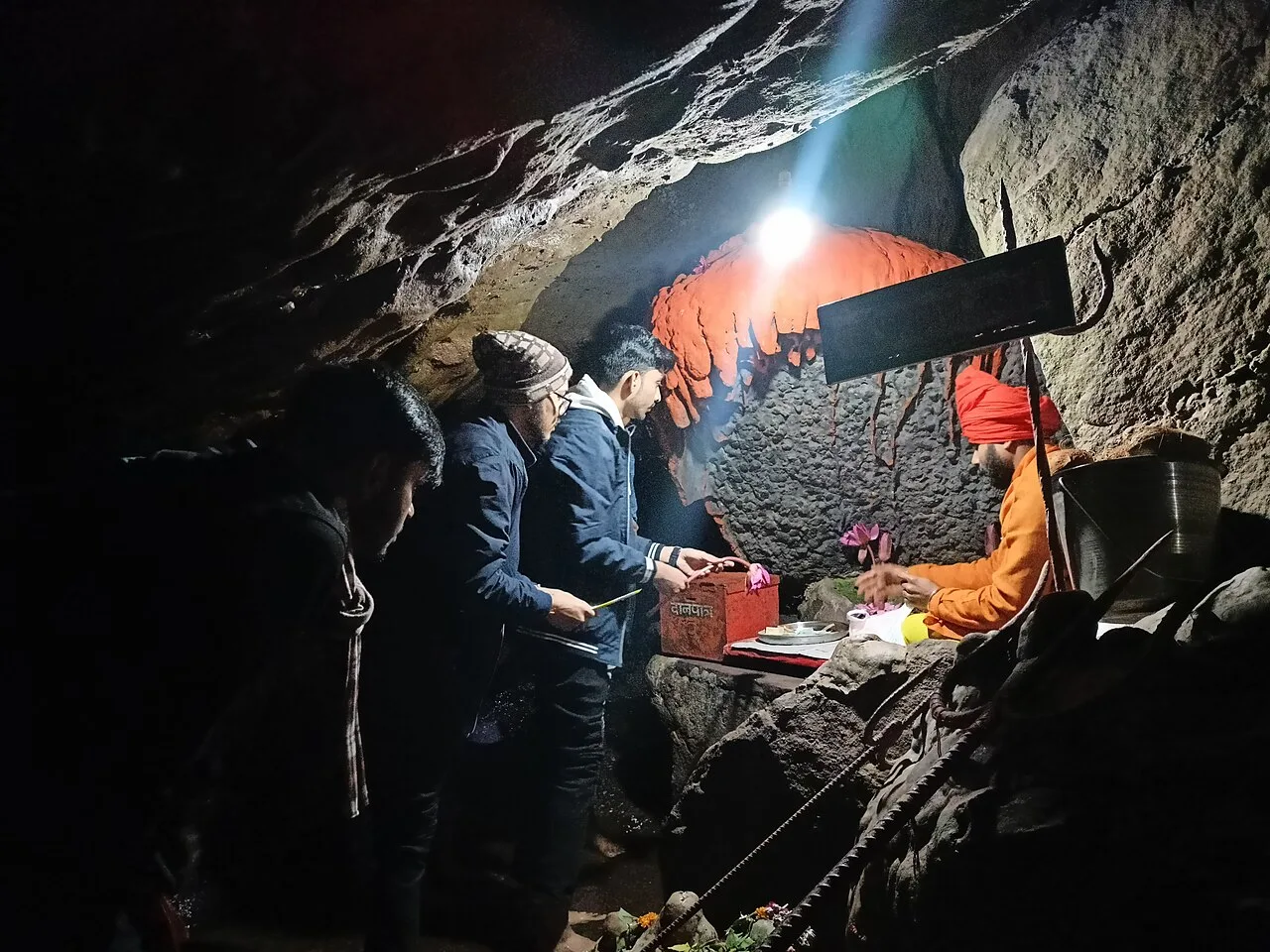
Jatashankar

Jatashankar, also called Jata Shankar, is a cave shrine dedicated to Shiva north of Pachmarhi in Madhya Pradesh, visited by pilgrims to worship its natural lingams.

Dhupgarh Peak

63 km away · Hoshangabad district

Dhupgarh Peak

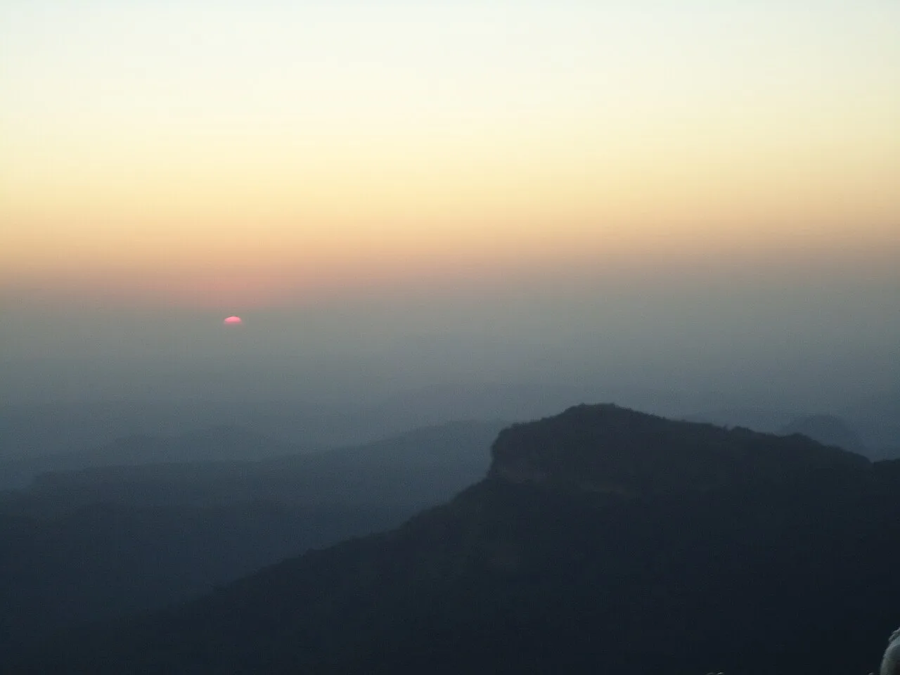
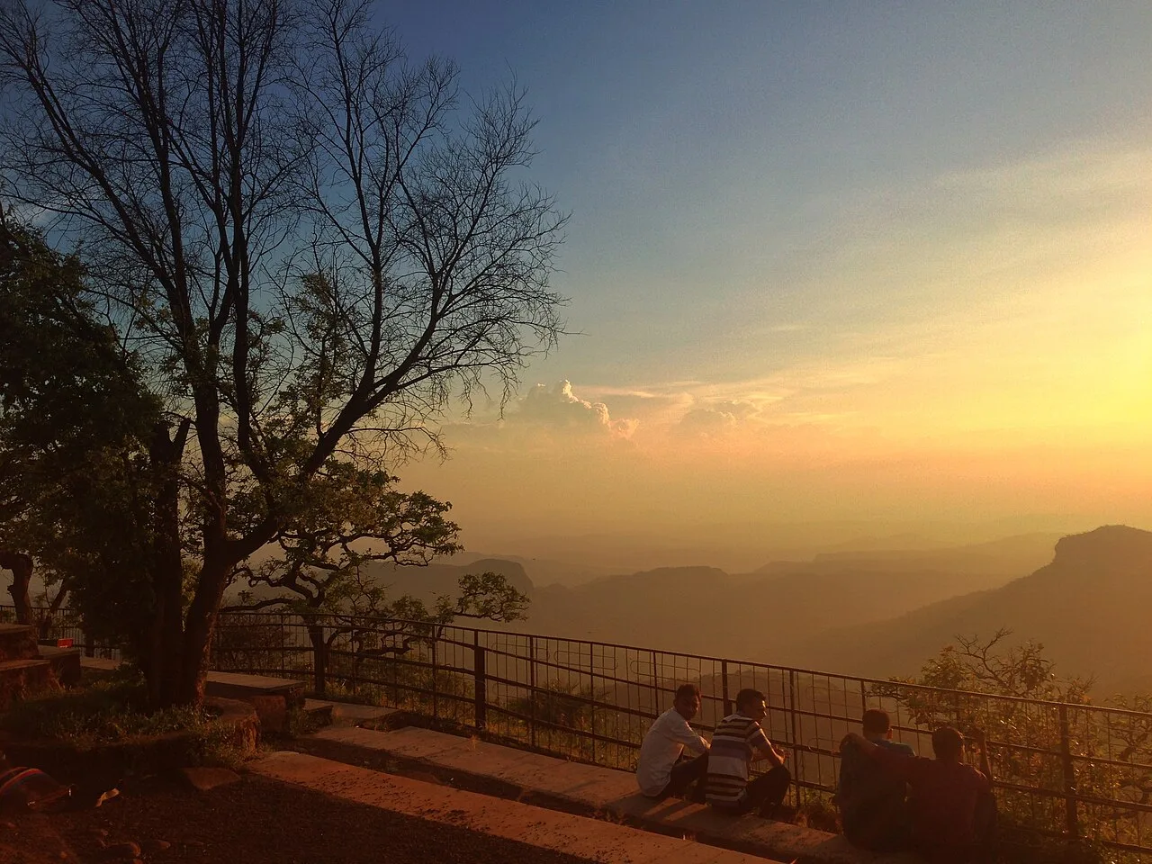
Dhupgarh, also known as Dhoopgarh, is a summit in Madhya Pradesh’s Satpura Range. Visitors go to the peak in Pachmarhi to watch the sun set.

Pachmarhi Hill Station

63 km away · Hoshangabad district

Pachmarhi Hill Station

Pachmarhi is a hill station in Madhya Pradesh’s Satpura range, known as the Queen of Satpura. Visitors come for its elevated setting and its location within protected natural areas.

Bhimbetka Rock Shelters

64 km away · Raisen district

Bhimbetka Rock Shelters

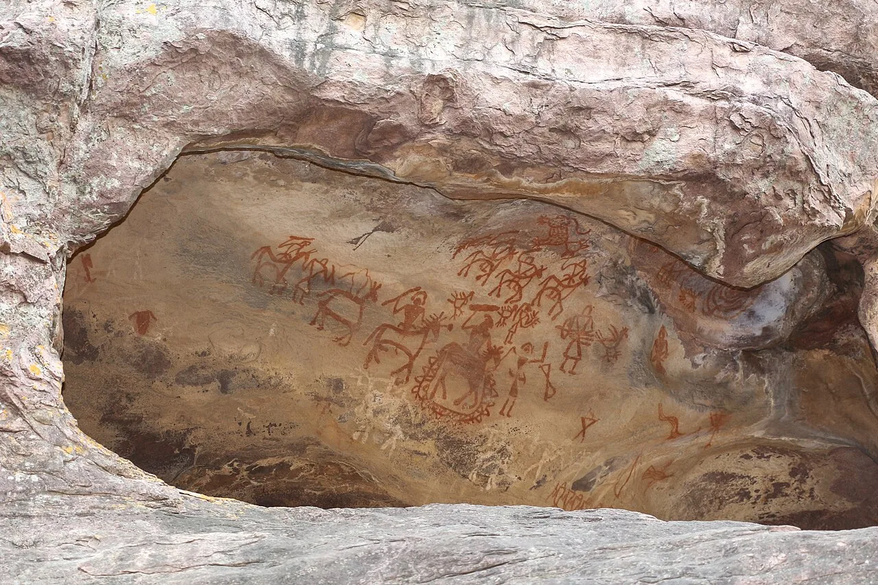
Bhimbetka is a prehistoric archaeological landscape in Madhya Pradesh, known for ancient shelters and rock art. Visitors can explore evidence of human life, cultural change and artistic expression across millennia.

Bhojpur

66 km away · Raisen district

Bhojpur

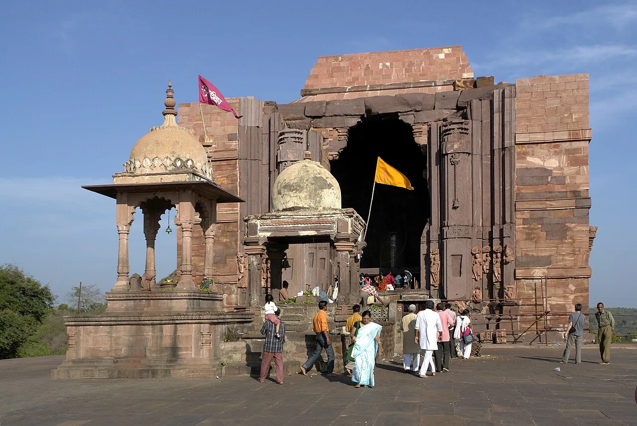
Bhojpur, in Raisen district, Madhya Pradesh, is known for its historical and religious significance, attracting interest from people drawn to these aspects.

Map

Baraily on the map

  1. 1Tawa Dam
  2. 2Satpura Tiger Reserve
  3. 3Sethani Ghat, Narmadapuram
  4. 4Jatashankar
  5. 5Dhupgarh Peak
  6. 6Pachmarhi Hill Station
  7. 7Bhimbetka Rock Shelters
  8. 8Bhojpur

Madhya Pradesh

Other cities to explore