Ghumoopedia — Explore, Discover, Experience
Sign in

City guide · Madhya Pradesh

Betul

Betul is the administrative headquarters of Betul district and an important service and transport centre in southern Madhya Pradesh. It lies in the Satpura uplands, near the point commonly identified as the geographical centre of India; a stone marker for this distinction stands at nearby Barsali.

Famous for

  • Balajipuram temple
  • Kherla Fort
  • Barsali centre marker
  • Betul railway junction
  • Gond and Korku heritage

Why Betul matters

Betul is the administrative headquarters of Betul district and an important service and transport centre in southern Madhya Pradesh. It lies in the Satpura uplands, near the point commonly identified as the geographical centre of India; a stone marker for this distinction stands at nearby Barsali. The town also serves as a rail junction, connecting the main Delhi–Chennai route with broad-gauge access towards Chhindwara district.

Visitors use Betul as a base for exploring the surrounding hills, forested countryside and places of worship. Balajipuram temple is a prominent local attraction, while the remains of Kherla Fort recall the region’s Gond history. The town is not a large resort destination, but its markets, rail links and district-level services make it a practical stop on journeys through central India. Its character brings together a busy administrative town, a historic market centre and the cultural influences of nearby Gond and Korku communities.
Famous for: crafts, trade & products

Betul is better known for its regional markets and transport role than for a signature textile, craft or GI-tagged product. Kothi Bazar is one of the town’s established market areas, where visitors can browse everyday goods, groceries, clothing and locally traded produce. Smaller shops and street vendors serve residents from the town and surrounding villages; availability varies with season and market activity.

The wider district has a mix of farming and forest landscapes, and its trade reflects the needs of rural communities. Betul has a history of coal-related commerce, but it should not be mistaken for a specialist craft or textile centre. There is no widely recognised Betul saree or major city-specific handicraft tradition to seek out. For souvenirs, visitors are more likely to find general Madhya Pradesh merchandise and devotional items near busy shopping streets or Balajipuram temple than a distinctive local product. The town’s most notable institutions are civic and transport facilities, including its role as the district headquarters and a railway junction.

History

The history of Betul is closely linked with Kherla Fort, nearby, which was once the seat of an independent Gond kingdom during the medieval and early modern periods. Under Company rule, the fort was allowed to fall into ruin. The town was known as Badnur in the early twentieth century, and Badnur became the headquarters of Betul district in 1822.

Surrounded by hills, the settlement developed as an administrative and market centre. During British rule it also served as a point for the export of coal, and its public facilities included markets, a circuit house, a jail, a police station, schools and accommodation for travellers. After independence, nearby Barsali became associated with the geographical centre of the country, marked by a stone. Betul’s modern growth was strengthened when it joined the Delhi–Chennai railway line in the early 1950s. The later broad-gauge connection towards Chhindwara further established its importance as a rail junction for the region.

Food, festivals & culture

Betul’s everyday culture reflects its place in a district with Gond and Korku communities as well as a wider Hindi-speaking population. Hindi is the main language of public life; Gondi and Korku are also spoken in the district. Family celebrations, temple visits and local gatherings shape the calendar, with Diwali in autumn, Holi near the end of winter and Navratri in autumn among the widely observed festivals. Community events may also follow local agricultural and seasonal rhythms.

There is no single dish that defines Betul across the country. Visitors will commonly find central Indian staples and familiar Madhya Pradesh favourites such as poha, jalebi and dal bafla, alongside everyday meals of grains, lentils and seasonal vegetables. Gond and Korku cultural expression includes community music, dance and oral traditions, particularly at social and seasonal gatherings. Balajipuram temple is a prominent place of worship in the area; other temples and local shrines serve neighbourhood communities. Jain pilgrimage sites such as Muktagiri are in the wider region, rather than in the town centre.

Visiting the city

The most comfortable time to visit is generally October to March, when days are milder for exploring town and nearby countryside. The monsoon brings greener hills but can make some journeys slower. Betul has no commercial airport; Dr. Babasaheb Ambedkar International Airport in Nagpur is a principal airport option, while Bhopal is another possible gateway. Check onward road connections when planning a trip. Betul railway station is the town’s main station and a junction on the rail network.

Auto-rickshaws, local taxis and buses are useful for getting around; arrange a vehicle for sights outside the centre. Kothi Bazar offers a glimpse of everyday town life, while Balajipuram is a notable visit. Barsali and Kherla Fort are outside the central area, so allow time for road travel. Betul works well as a practical base rather than a resort stay.

Trips from the city

Nearest places to visit from Betul

Our closest destination guides, by straight-line distance.

Muktagiri

66 km away · Betul district

Muktagiri

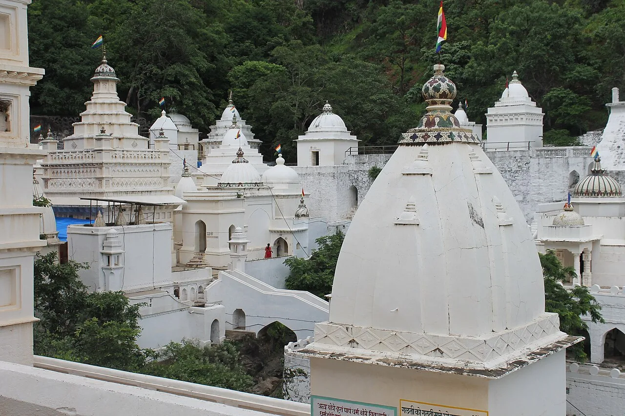
Muktagiri, also known as Mendhagiri, is a Jain pilgrimage centre on the Madhya Pradesh–Maharashtra boundary. People visit for its importance as a Jain pilgrimage destination.

Patalkot

69 km away · Chhindwara district

Patalkot

Patalkot is a valley within Tamia tehsil, Chhindwara district, Madhya Pradesh, about 78 km from the district headquarters. Visitors are drawn by its tribal culture and rich herbal resources.

Satpura Tiger Reserve

74 km away · Hoshangabad district

Satpura Tiger Reserve

In Madhya Pradesh’s Narmadapuram district, Satpura Tiger Reserve takes its name from the Satpura Range. Visitors come to experience its abundant plant life and wildlife.

74 km away · Narmadapuram district

Tawa Dam

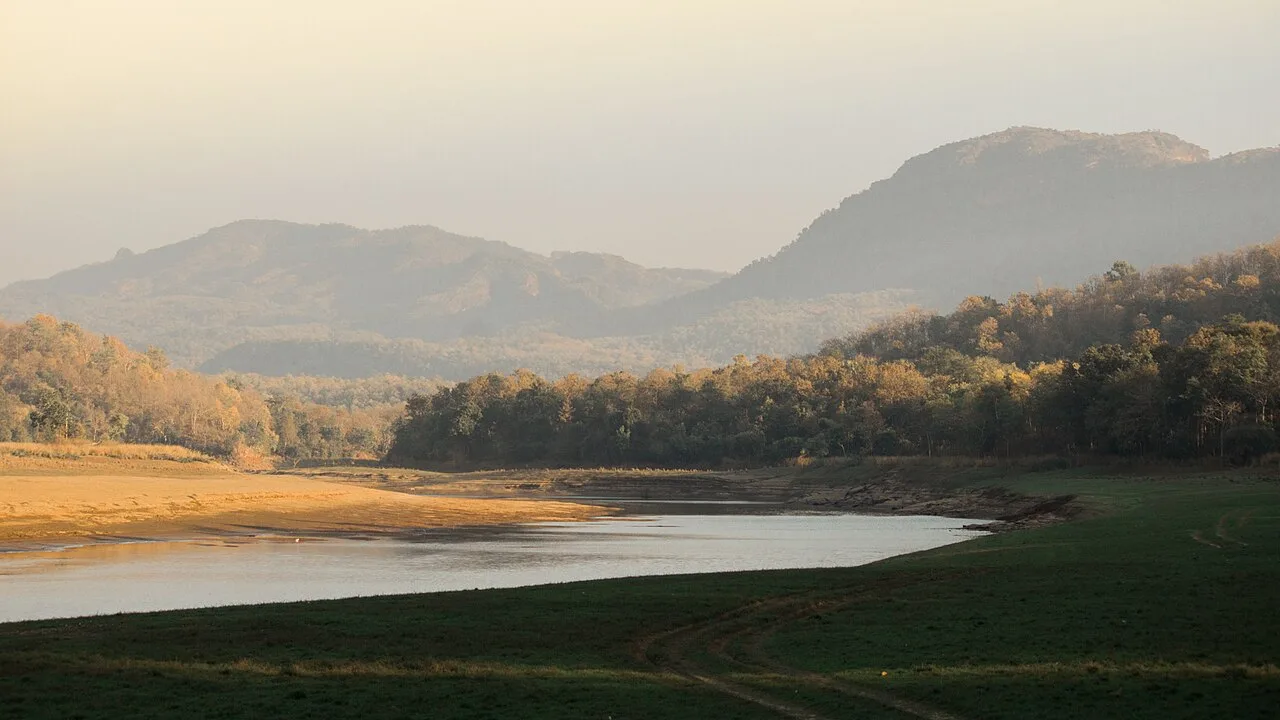
Tawa Dam is an irrigation structure in Madhya Pradesh that created a reservoir on the Tawa River; visitors are drawn there particularly during the monsoon season.

Dhupgarh Peak

78 km away · Hoshangabad district

Dhupgarh Peak

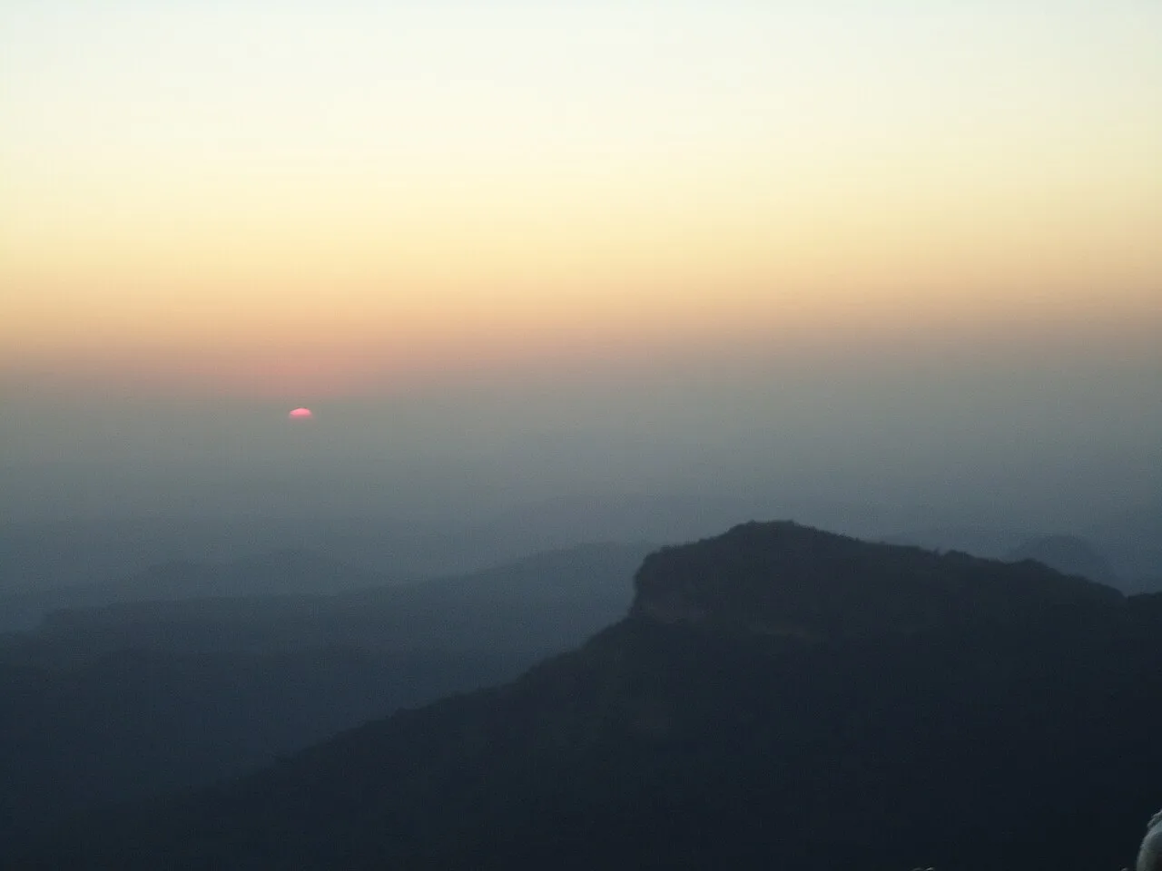
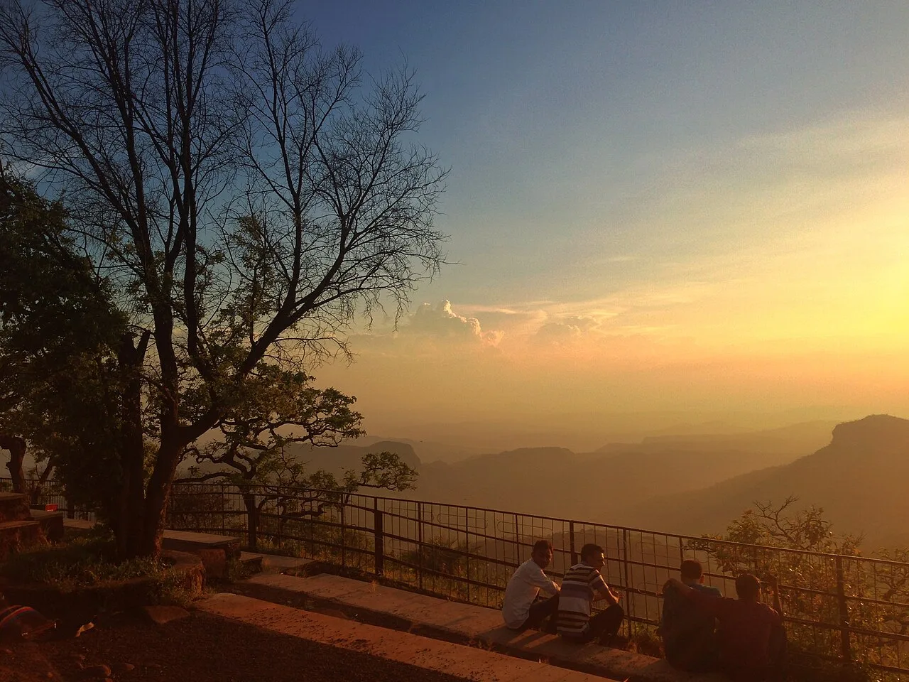
Dhupgarh, also known as Dhoopgarh, is a summit in Madhya Pradesh’s Satpura Range. Visitors go to the peak in Pachmarhi to watch the sun set.

Pachmarhi Hill Station

82 km away · Hoshangabad district

Pachmarhi Hill Station

Pachmarhi is a hill station in Madhya Pradesh’s Satpura range, known as the Queen of Satpura. Visitors come for its elevated setting and its location within protected natural areas.

Jatashankar

85 km away · Hoshangabad district

Jatashankar

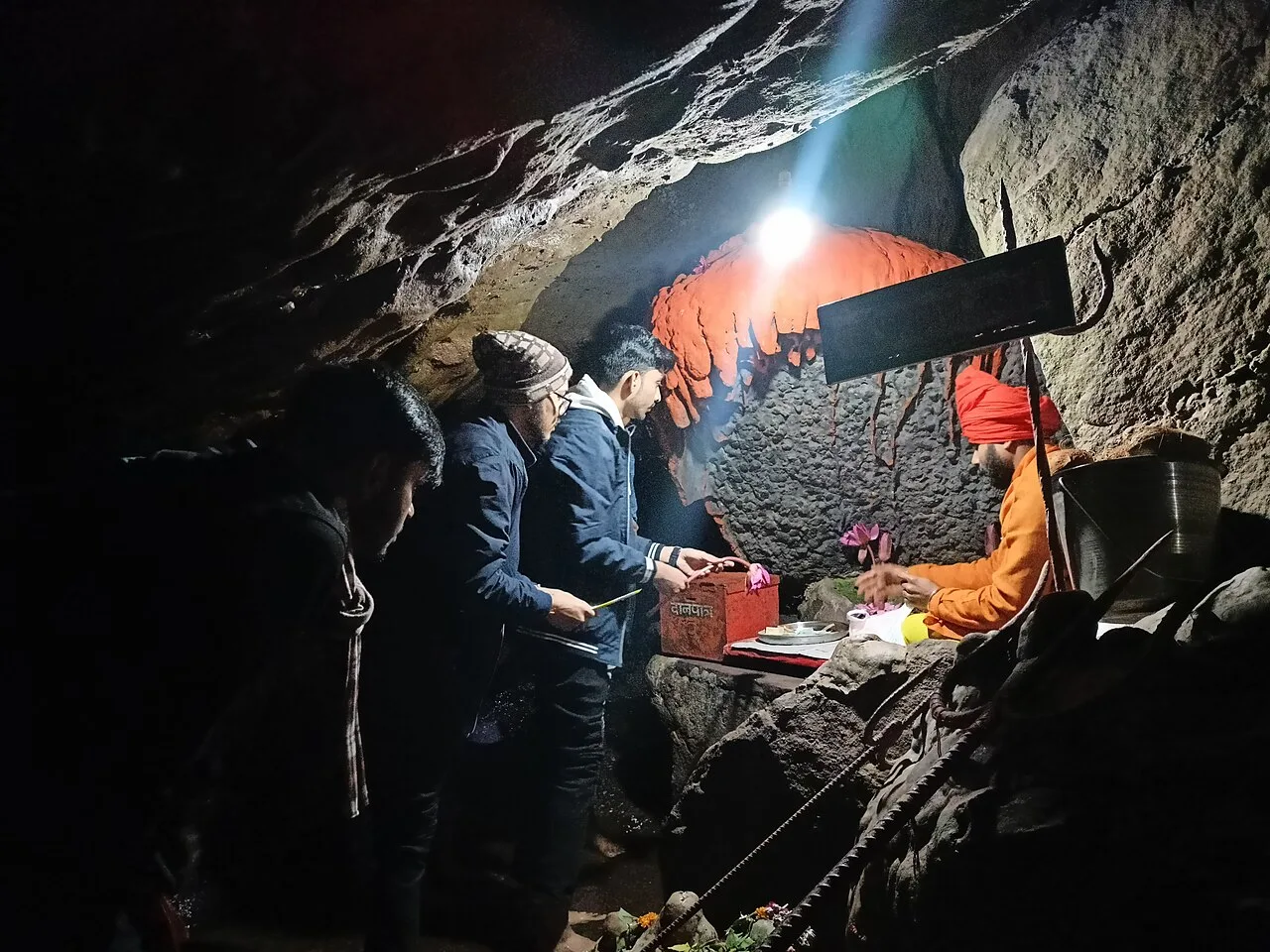
Jatashankar, also called Jata Shankar, is a cave shrine dedicated to Shiva north of Pachmarhi in Madhya Pradesh, visited by pilgrims to worship its natural lingams.

Sethani Ghat, Narmadapuram

98 km away · Hoshangabad district

Sethani Ghat, Narmadapuram

Sethani Ghat is a nineteenth-century riverfront structure at Narmadapuram, Madhya Pradesh. People visit for its scale and for Narmada Jayanti, when devotees gather and float lamps on the river.

Map

Betul on the map

  1. 1Muktagiri
  2. 2Patalkot
  3. 3Satpura Tiger Reserve
  4. 4Tawa Dam
  5. 5Dhupgarh Peak
  6. 6Pachmarhi Hill Station
  7. 7Jatashankar
  8. 8Sethani Ghat, Narmadapuram

Madhya Pradesh

Other cities to explore