Ghumoopedia — Explore, Discover, Experience
Sign in
Chitrakoot, near Naraini

City guide · Madhya Pradesh

Naraini

Naraini is in Banda district, Uttar Pradesh—not Madhya Pradesh. It is a small town and tehsil centre in Bundelkhand, the historic region spanning parts of Uttar Pradesh and Madhya Pradesh.

Famous for

  • Kalinjar Fort vicinity
  • Bundelkhand heritage
  • Banda district tehsil
  • Rural market town

Why Naraini matters

Naraini is in Banda district, Uttar Pradesh—not Madhya Pradesh. It is a small town and tehsil centre in Bundelkhand, the historic region spanning parts of Uttar Pradesh and Madhya Pradesh. Its everyday importance comes from serving nearby villages with administrative services, shops and local markets. For travellers, Naraini is best considered a base for exploring the surrounding countryside and the historic Kalinjar Fort, which stands in the wider area and is closely associated with Bundelkhand’s past.

The town is not a large urban destination with a widely known leisure district or a major, nationally recognised product. Its appeal is quieter: a view of ordinary regional life, access to rural roads and a connection to the landscape and heritage of Banda district. Visitors interested in forts and regional history can combine a stop in Naraini with a visit to Kalinjar, while those passing through can use the town for local services. Confirm road conditions and the current accessibility of nearby sites before setting out.
Famous for: crafts, trade & products

Naraini is chiefly a local service and market centre rather than a recognised hub for a particular textile, handicraft or industrial product. There is no widely established Naraini-specific saree, craft or GI-tagged product to seek out. Its shops and bazaar serve residents and surrounding villages, with everyday groceries, household goods and agricultural necessities forming the practical focus of trade. Visitors can browse the town’s central market for routine provisions and a glimpse of local commerce, but should not expect a specialised tourist shopping quarter.

The wider Bundelkhand region has varied rural livelihoods and food traditions, but products sold in Naraini can change with season and local supply. Ask shopkeepers about locally grown produce or regional goods rather than assuming an item is made in the town. For historic interest, the area’s strongest draw is nearby Kalinjar Fort, not a commercial institution or craft market. If you are looking for a specific handmade item or regional speciality, check availability locally and allow time to travel to larger centres in Banda district.

History

Naraini’s history is part of the wider story of Bundelkhand and Banda district. The region’s forts and settlements reflect the influence of successive powers, including the Chandela and Bundela rulers, as well as Mughal, Maratha and British authority. Nearby Kalinjar Fort is the area’s most prominent historic landmark; its long strategic importance gives context to the changing political fortunes of this part of Bundelkhand. The fort is associated with the Chandela period and later struggles for control, though its history should not be confused with the history of Naraini town itself.

Under British rule, Banda developed as a district administrative centre, and Naraini became one of its tehsils. In modern Uttar Pradesh, the town’s role has remained primarily local: administration, services and trade for nearby rural communities. Its growth has been shaped more by its position within the district and road connections than by large-scale industrial development. The landscape around it retains a strong link to the region’s older fortified and rural heritage.

Food, festivals & culture

Daily life in Naraini reflects Bundelkhand’s rural culture. Hindi is widely used, and Bundeli is also spoken in the region. Meals commonly draw on wheat or millet breads, lentils, seasonal vegetables and other home-cooked staples; recipes and ingredients vary between households and across the seasons.

Holi, usually in spring, and Diwali, generally in autumn, are major community festivals. Navratri and Dussehra are also observed, while harvest and religious occasions shape the local calendar. Celebrations may include family visits, worship and community gatherings. Bundeli folk traditions, including locally performed songs and oral storytelling, form part of the wider cultural landscape, though performances are not necessarily scheduled for visitors. Hindu temples and Muslim places of worship serve local communities; visitors should dress respectfully and follow local guidance when entering religious spaces.

Visiting the city

The cooler months, roughly October to March, are generally the most comfortable for exploring Naraini and the surrounding countryside. Summers can be very hot, while the monsoon season may affect rural roads. Khajuraho Airport is a regional air option; check current flight connections before planning. Banda Junction is the main railway station for reaching the district, with onward travel by road to Naraini.

Local buses, shared vehicles and hired cars can help with travel between towns and villages; availability may be limited outside busier routes. Within Naraini, walking and local transport are practical for short journeys. Explore the central market and town centre for everyday activity, then plan a separate road visit to nearby Kalinjar Fort. Ask locally about road conditions and site access, and allow extra time for travel between rural stops.

Trips from the city

Nearest places to visit from Naraini

Our closest destination guides, by straight-line distance.

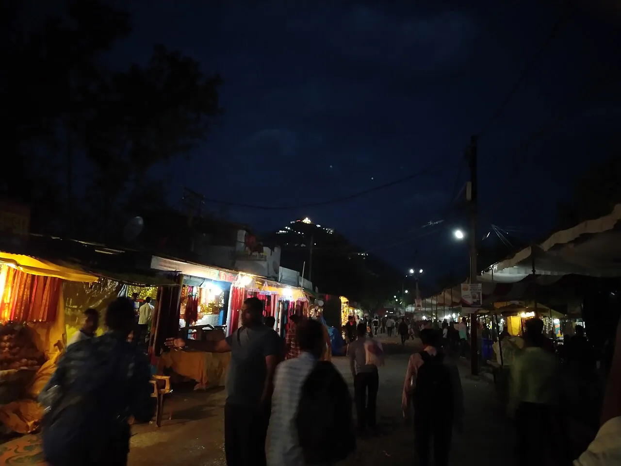
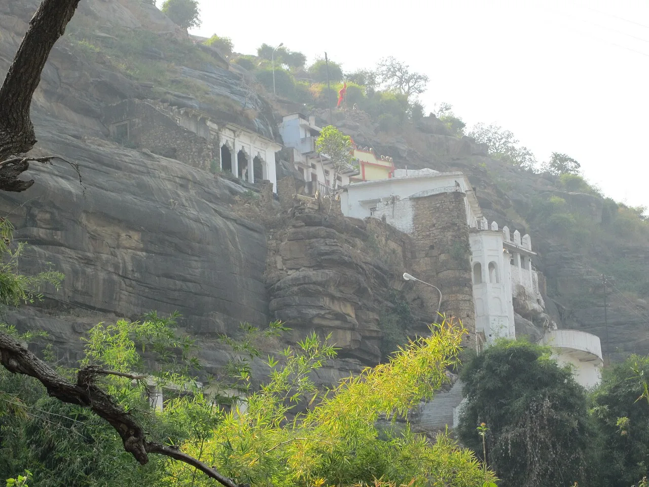
Chitrakoot

42 km away · Chitrakoot district

Chitrakoot

Chitrakoot is a pilgrimage town and nagar panchayat in Madhya Pradesh, valued for its Ramayana associations, sacred sites and religious observances that draw visitors throughout the year.

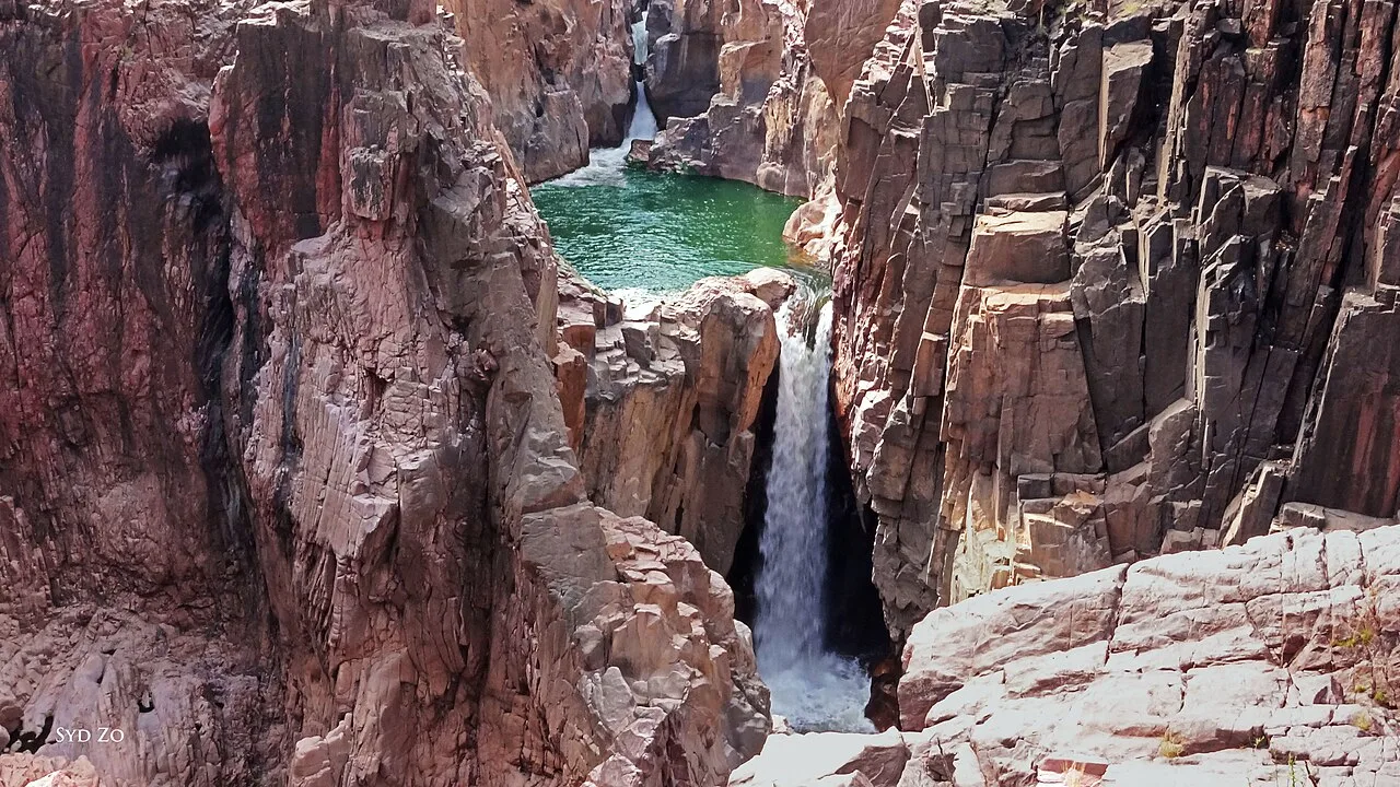
Raneh Falls

55 km away · Chhatarpur district

Raneh Falls

Raneh Falls is a natural cascade on the Ken River at Khajuraho in Madhya Pradesh. Visitors come to see the waterfall, which lies in Chhatarpur district.

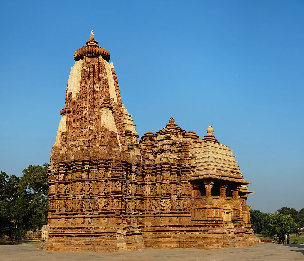
Khajuraho Temples

67 km away · Khajuraho district

Khajuraho Temples

Khajuraho is a complex of Hindu and Digambara Jain temples in Madhya Pradesh, known for Nagara architecture and sculptural detail that attracts visitors interested in Indian art and religious history.

Panna National Park

69 km away · Chhatarpur district

Panna National Park

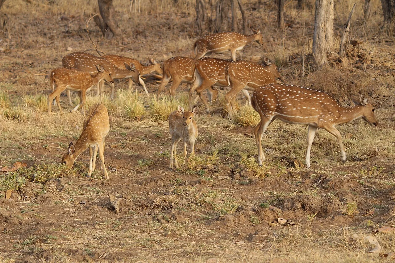
Located in Panna and Chhatarpur districts of Madhya Pradesh, Panna National Park covers 542.67 square kilometres. Visitors come for its wildlife, especially tigers, and its status as a tiger reserve.

Betwa River, Orchha

85 km away · Orchha district

Betwa River, Orchha

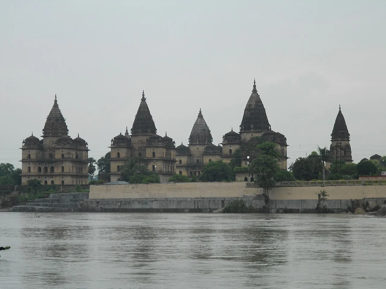
The Betwa is a Yamuna tributary that flows past Orchha, linking the town with a river course through Madhya Pradesh and Uttar Pradesh. Visitors encounter it as part of Orchha’s setting.

Bharhut Stupa Remains

91 km away · Satna district

Bharhut Stupa Remains

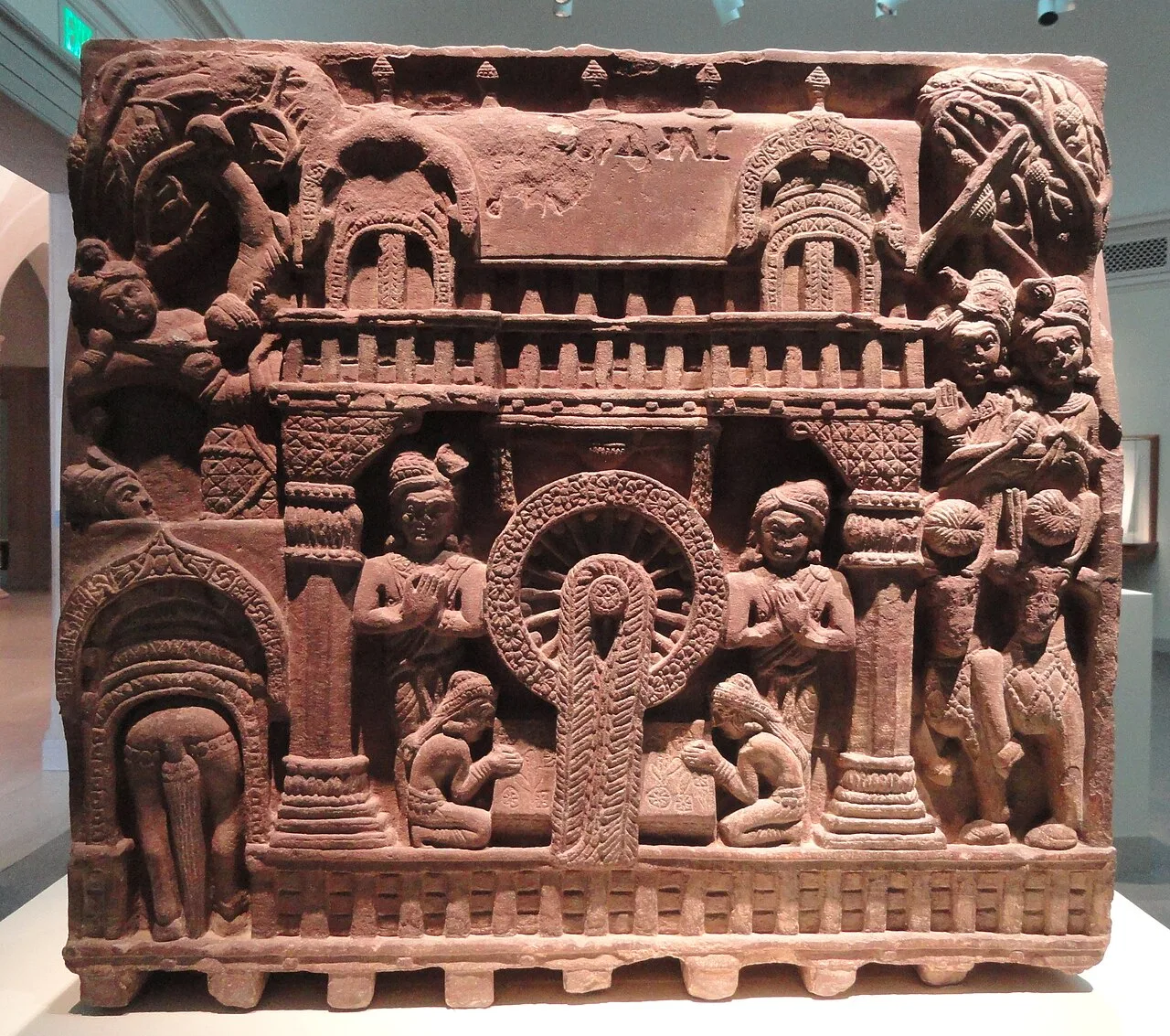
Bharhut Stupa Remains are the surviving traces of a Buddhist stupa in Madhya Pradesh. Visitors come to learn about its early carvings, labelled relief panels and history, though most sculptures are now held elsewhere.

Keoti Falls, Rewa

107 km away · Rewa district

Keoti Falls, Rewa

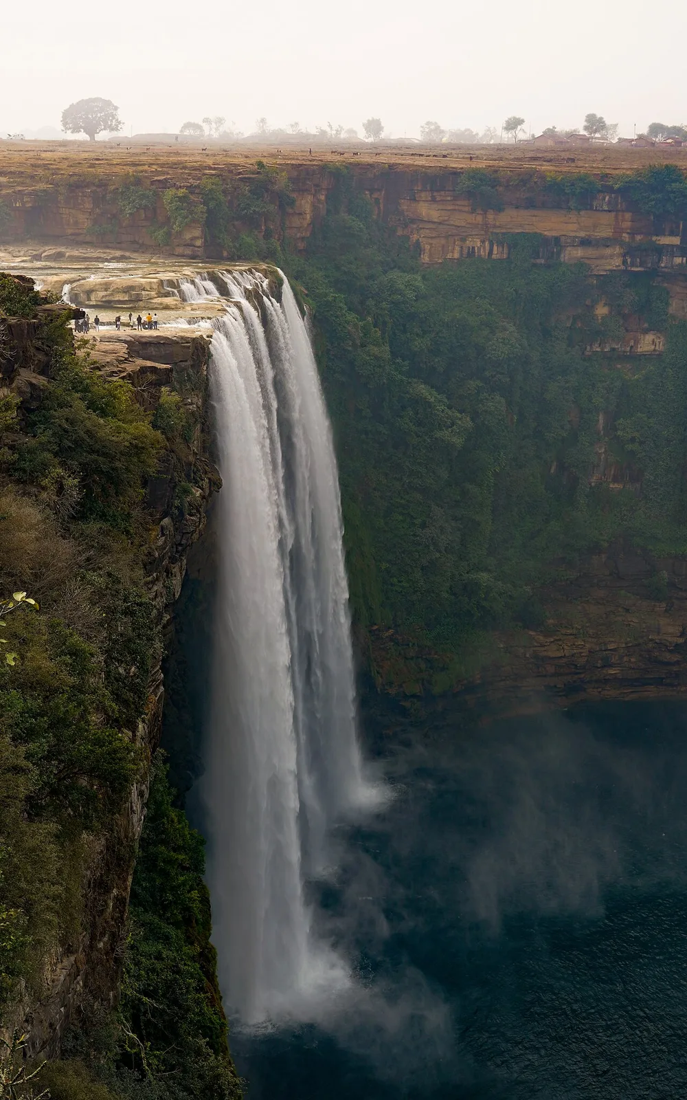
Keoti Falls, also called Kevti, is a waterfall in Rewa district, Madhya Pradesh. Visitors come to see a site ranked 24th among India’s waterfalls by height.

Maihar Sharda Temple

107 km away · Satna district

Maihar Sharda Temple

Maihar Sharda Temple is a religious shrine in Madhya Pradesh, associated with Maa Sharda and counted among the Shakti Peeth. Worshippers visit for its religious significance.

Map

Naraini on the map

  1. 1Chitrakoot
  2. 2Raneh Falls
  3. 3Khajuraho Temples
  4. 4Panna National Park
  5. 5Betwa River, Orchha
  6. 6Bharhut Stupa Remains
  7. 7Keoti Falls, Rewa
  8. 8Maihar Sharda Temple

Madhya Pradesh

Other cities to explore