
District · Karnataka
Uttara Kannada
Uttara Kannada occupies Karnataka’s northern Arabian Sea coast and extends inland into the Western Ghats.
Uttara Kannada stretches from the Arabian Sea coast across the forested slopes of the Western Ghats. Beaches, estuaries and river valleys give way inland to dense forests and hill country; the Kali, Aghanashini and Sharavathi are among its important rivers. The district includes coastal towns such as Karwar and historic Banavasi, once a centre of the Kadamba dynasty. Its long coastline has also linked it to maritime trade and neighbouring regions. Today, the district’s character varies from busy ports and pilgrimage sites to quiet villages and protected wilderness, including Kali Tiger Reserve. Kannada is widely spoken, while Konkani and other languages also reflect the region’s varied communities and connections.
Uttara Kannada occupies Karnataka’s northern Arabian Sea coast and extends inland into the Western Ghats. It is a district for combining coastal towns and beaches with river valleys, forested hills and waterfalls. Travellers come for Gokarna’s temples and beaches, the coast around Karwar and Murudeshwar, and inland sights such as Yana Rocks, Unchalli Falls and Magod Falls. Kali Tiger Reserve represents the district’s forest landscape, while its rivers and wooded slopes make journeys between attractions part of the experience. The district suits visitors who want both seaside stops and nature-focused excursions, though its large area and winding roads mean that planning around a few clusters is more practical than trying to cover every sight.
The region has long been shaped by its position between the Arabian Sea and the Western Ghats. Banavasi, in the district’s inland area, was an important centre of the Kadambas, a Kannada-speaking dynasty that rose to prominence in the early centuries of the first millennium. Over time, parts of the region came under the influence of larger South Indian powers, including the Chalukyas and Vijayanagara rulers; local Nayaka chiefs also held authority in later periods. Coastal ports and settlements connected the area to maritime trade, while temple centres such as Gokarna developed religious importance. Under British rule, North Canara was administered within the Bombay Presidency for much of the colonial period, after earlier links with the Madras administration. Following Indian independence and the reorganisation of states in 1956, the district became part of Mysore State, renamed Karnataka in 1973. The district is now called Uttara Kannada, meaning North Kannada, and Karwar serves as its administrative headquarters.
13 destination guides · 10 on the map
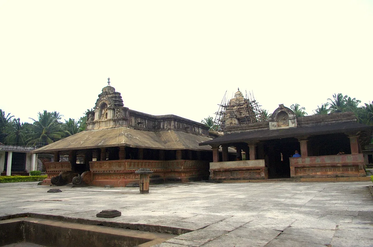
Banavasi
Banavasi, a village in Karnataka’s Uttara Kannada district, is known for its temples and its past as the Kadamba dynasty’s capital, making it a place of historical interest.
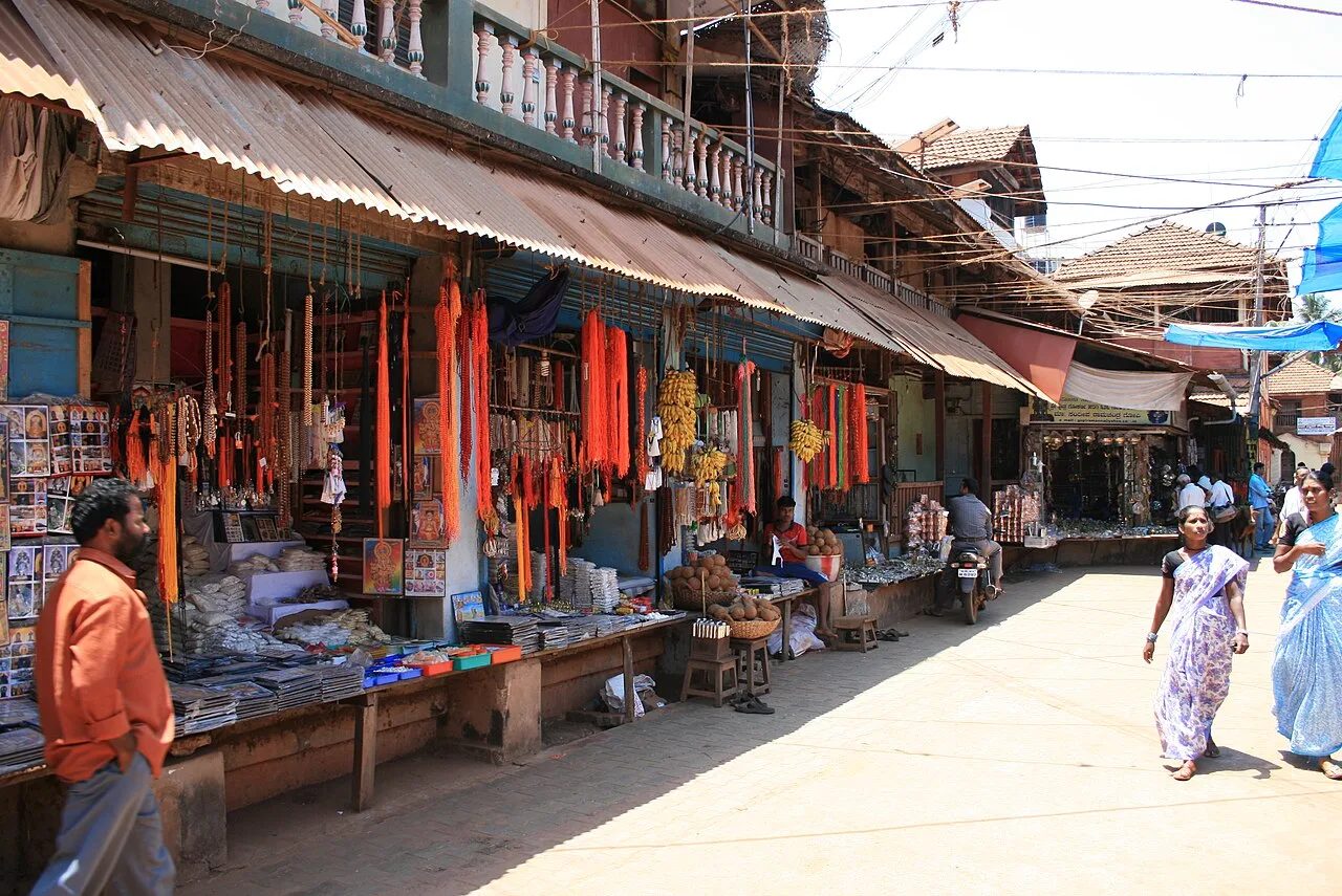
Gokarna Town and Beaches
Gokarna is a historic temple town and beach destination in Karnataka’s Uttara Kannada district. Visitors come for its Hindu temples, literary and epic associations, and opportunities to walk or trek along the coast.
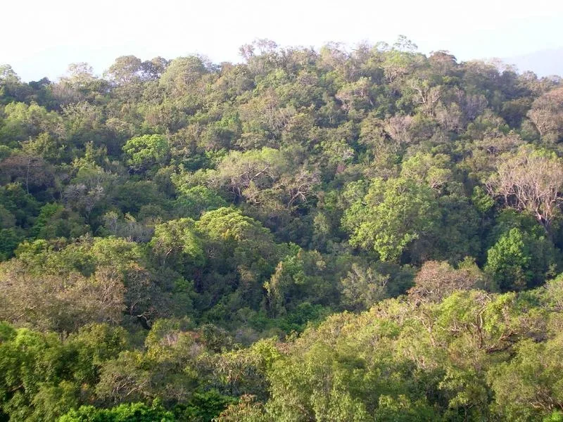
Kali Tiger Reserve (Anshi Dandeli)
Kali Tiger Reserve is a 1,300-square-kilometre protected area in Karnataka’s Uttara Kannada district. Visitors can find habitat for Bengal tigers, black panthers and Indian elephants, with the Kali River running through the reserve.
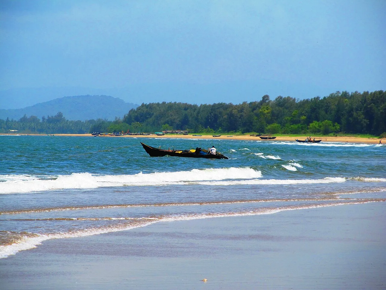
Karwar Beach Town
Karwar is a coastal city and taluka in Karnataka, serving as the administrative centre of Uttara Kannada district. Visitors come for its setting on the Konkan shore by the Kali river.
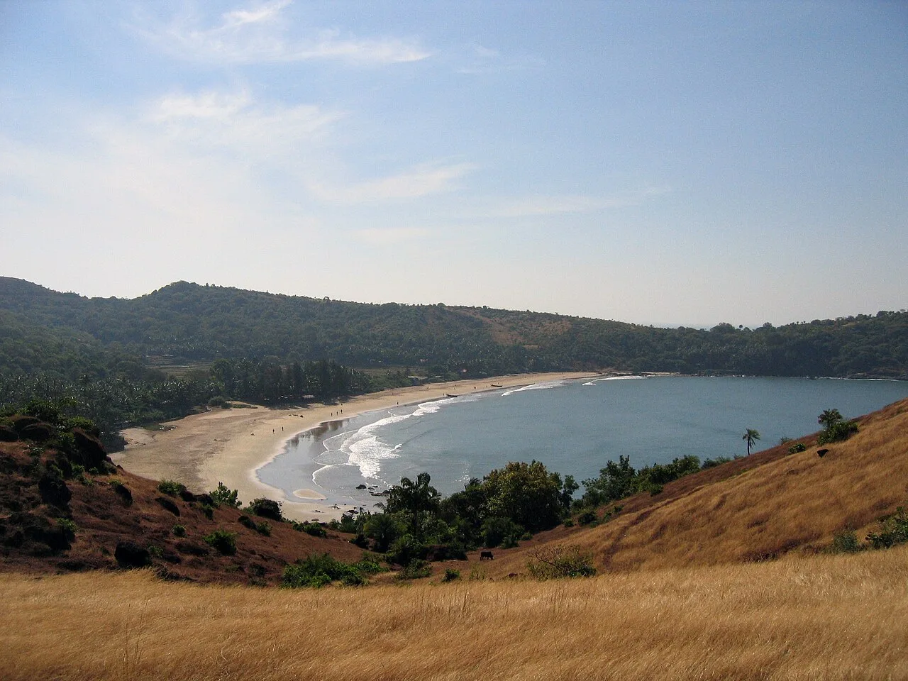
Kudle Beach
Kudle Beach, in Karnataka’s Uttara Kannada district, is a beach people visit for time by the shore. Its location and beach setting define the place.
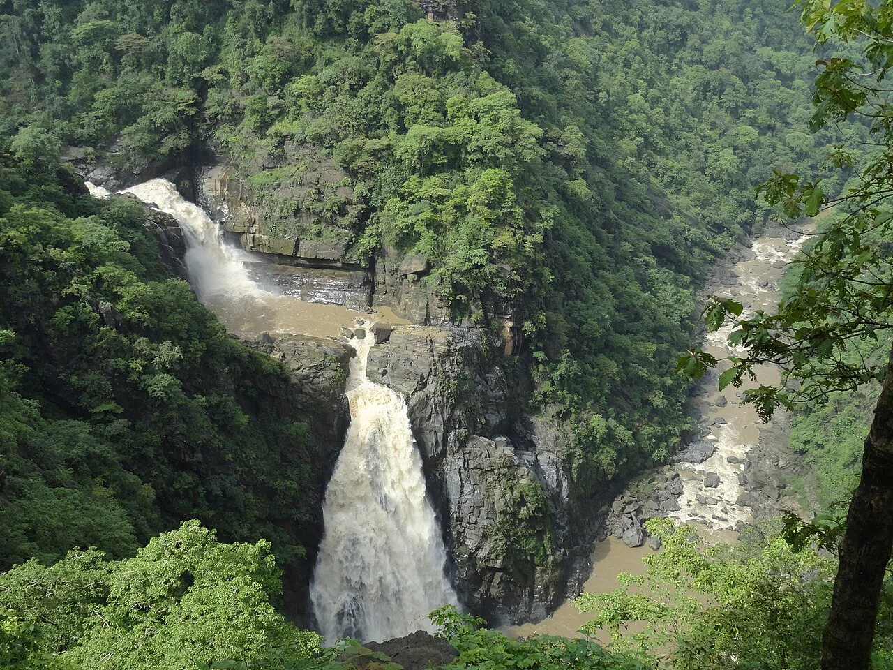
Magod Falls
In Uttara Kannada, Magod Falls is created by the Bedti River dropping nearly 200 metres in two stages. Visitors come to see the river’s series of cascades.
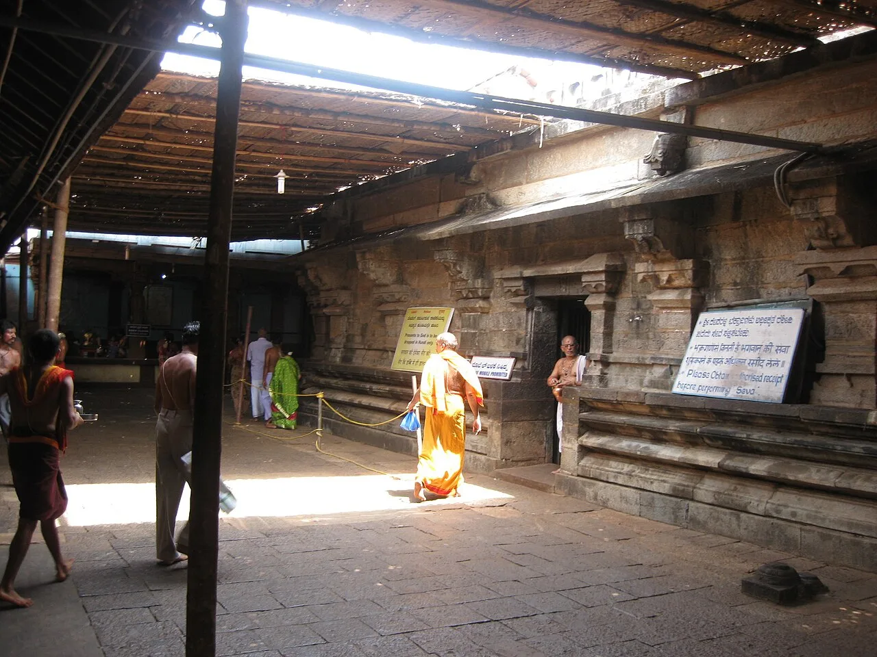
Mahabaleshwar Temple
Mahabaleshwar Temple is a fourth-century CE Hindu shrine in Gokarna, Karnataka. Visitors come to worship at its Shiva lingam and see its Dravidian-style architecture.
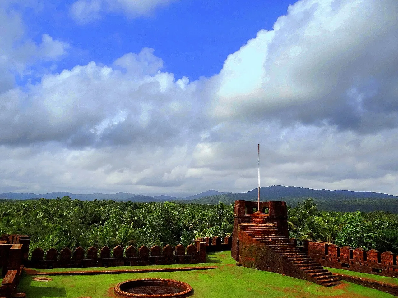
Mirjan Fort
Mirjan Fort is a historic coastal stronghold in Karnataka’s Uttara Kannada district, known for its architecture, past conflicts and association with Rani Chennabhairadevi and the pepper trade.
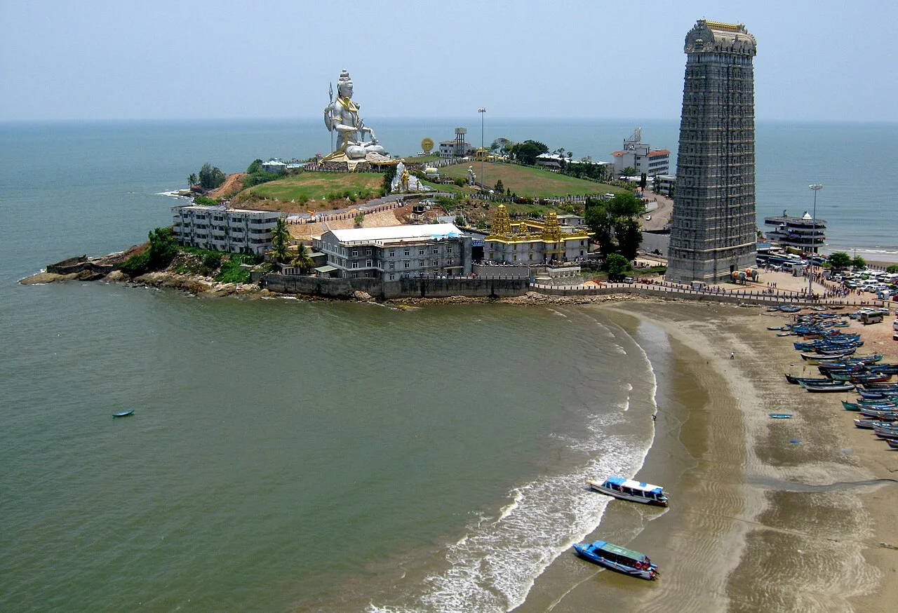
Murudeshwar Temple and Beach
Murudeshwar is a coastal town in Karnataka, known for its temple, the world’s third tallest Shiva statue and a beach beside the Arabian Sea.
Coastal Uttara Kannada cooking often centres on rice, fish and seafood, with coconut and souring ingredients used in many local preparations. Fish curry with rice is a familiar meal, while neer dosa belongs to the wider coastal Karnataka food tradition. Inland menus may feature ragi mudde, seasonal vegetables and simple rice-based dishes. Vegetarian food is readily available, and small eateries may serve a limited daily selection, so asking what is fresh can be useful. Across Karnataka, breakfast favourites include idli, vada and dosa with filter coffee; dishes such as bisi bele bath are enjoyed well beyond this district.
Uttara Kannada is especially associated with coastal Karnataka’s Yakshagana performance tradition. In the district and neighbouring coastal areas, the Badagutittu style is known for expressive movement, elaborate costumes, distinctive headgear and painted faces; artisans help create and maintain these stage elements. Kasuti, a traditional Karnataka embroidery style, is another regional craft, more strongly associated with northern Karnataka than with Uttara Kannada specifically. Neither tradition should be treated as exclusive to the district, but both offer context for the wider state’s artistic heritage.
Maha Shivaratri is especially important at Gokarna’s Mahabaleshwar Temple, where worshippers and pilgrims can make the town busier and accommodation harder to find. Temple festivals and fairs are held in different towns and villages, often according to local calendars. Ganesh Chaturthi, Navaratri and Deepavali are also observed across the district, with family gatherings and community events. Festival periods, school holidays and the main winter travel season can bring higher demand in coastal towns; booking ahead is sensible if visiting during a major celebration. Dates vary by year and by temple, so check locally before planning around a particular event.
The district runs from the Arabian Sea coast through river plains and foothills into the forested Western Ghats. The Kali, Aghanashini and Bedti rivers, among others, shape valleys and provide settings for waterfalls; the coast includes beaches, headlands and offshore islands. Roads cross hilly, often wooded terrain, and journeys between coastal and inland attractions can take longer than a map suggests. Monsoon rain can make trails, waterfall approaches and smaller roads slippery or difficult. The varied landscape favours planning trips by area rather than treating the district as one compact sightseeing circuit.
Uttara Kannada has a tropical climate, with a hot season before the monsoon, a wet and often travel-disrupting monsoon, and a generally more comfortable winter. The monsoon typically spans the middle part of the year; heavy rain can affect road conditions, waterfall access and sea activities. For a mix of beaches and inland sightseeing, the drier months from roughly November to February are usually the easiest time to travel. March to May can feel hot and humid, especially along the coast. Pack light clothing, sun protection and drinking-water supplies; bring rainwear and footwear with good grip if travelling in wet months. Conditions can vary between the coast and the hills.
The Konkan Railway runs along the coast, with stations serving places including Karwar, Gokarna, Kumta, Honnavar, Murdeshwar and Bhatkal; the most useful station depends on your destination. Hubballi Airport is an option for inland and central parts of the district, while Goa or Mangaluru airports may suit some coastal itineraries. National Highway 66 links coastal towns north and south, and roads connect inland places such as Sirsi, Yellapur and Dandeli with the coast and Hubballi. KSRTC buses serve district towns, with local buses and taxis useful for onward journeys. Check current services locally before travelling.
National Highway 66 links the coastal towns, including Karwar, Kumta, Honnavar and Murudeshwar, while other roads lead inland towards waterfalls, forest areas and hill settlements. Buses connect many towns, but services to smaller attractions may be limited or require a change. Taxis or hired vehicles are useful for combining several sites, and local autos are available in towns for shorter trips. Shared jeeps may serve some rural routes, depending on local demand. Boat access is relevant for certain coastal activities and islands, but availability and sea conditions vary. Check current local arrangements before setting out, especially during the monsoon.
2 days: Gokarna Town and Beaches → Mahabaleshwar Temple → Kudle Beach → Om Beach; sleep each night: Gokarna. 3 days: Gokarna Town and Beaches → Mirjan Fort → Murudeshwar Temple and Beach; sleep night 1: Gokarna; night 2: Murudeshwar. 4 days: Karwar Beach Town → Kali Tiger Reserve (Anshi Dandeli) → Magod Falls → Yana Rocks; sleep night 1: Karwar; night 2: Dandeli; night 3: Yellapur.
Gokarna is a useful base for its temple and nearby beaches, with guesthouses, homestays and simple hotels. Karwar offers a broader range of town accommodation and works well for coastal visits in the north. Murudeshwar is convenient for the temple and beach, while Dandeli is a practical base for Kali Tiger Reserve and forest activities. Smaller inland towns can provide basic hotels or homestays near waterfall routes. Government lodges and dharamshalas may be available in some places, but facilities and availability vary; confirm arrangements before travelling, particularly in busy seasons.
Coastal currents and rough surf can make swimming unsafe, and monsoon seas may prevent boat outings; follow local warnings and avoid entering the water where conditions are uncertain. Waterfall rocks and forest trails can be slippery, especially after rain. In forest areas, follow official guidance, keep to permitted routes and do not approach or feed wildlife. Use treated or reliably safe drinking water, and carry essential medicines because services can be sparse outside towns. Roads may be narrow, winding or affected by heavy rain, while mobile coverage can be patchy inland. Access rules can vary by activity and location; confirm any required permissions with the relevant authorities before visiting.
- South Goa · Goaabout 92 km
- Shivamoggaabout 106 km
- Haveriabout 112 km
- Dharwadabout 121 km
- North Goa · Goaabout 129 km
- Udupiabout 132 km
- Belagaviabout 167 km
- Gadagabout 170 km
Straight-line distance between the centres of each district's destinations; road distance is longer.
Q: How many days should I spend in Uttara Kannada? A: Two or three days can cover a coastal cluster; allow four or more days to combine coastal and inland sights without rushing. Q: When is the best time to visit? A: The drier months, roughly November to February, are generally easiest for combining beaches, towns and inland excursions. Q: What is the best base for a first visit? A: Gokarna suits temple and beach visits; Karwar and Murudeshwar are useful bases for other coastal sections, while Dandeli suits forest trips. Q: How do I get to the district? A: Coastal rail services and road buses connect several towns. The best arrival point depends on your route; continue locally by bus, taxi or hired vehicle. Q: Is the district suitable for families or elderly travellers? A: Yes, if the itinerary is paced around accessible town and coastal stops. Waterfall approaches, uneven terrain and long road journeys may need extra care.
This page draws on our 13 destination guides for Uttara Kannada and is updated as our team checks it.
Be the first to share photos, stories, advice or a helpful contact for Uttara Kannada.
Loading…