Ghumoopedia — Explore, Discover, Experience
Sign in
Orang National Park, near Kharupatia

City guide · Assam

Kharupatia

The town lies about 17 km from Mangaldoi, the district headquarters, and around 87 km from Guwahati. National Highway 15 connects it with other parts of Assam, supporting local trade and road travel.

Famous for

  • Darrang produce markets
  • Fresh vegetable trade
  • National Highway 15
  • Gateway to rural Darrang

Why Kharupatia matters

The town lies about 17 km from Mangaldoi, the district headquarters, and around 87 km from Guwahati. National Highway 15 connects it with other parts of Assam, supporting local trade and road travel. Visitors are most likely to appreciate Kharupetia through its everyday street life, market activity and mix of communities rather than through a concentrated set of tourist attractions. It can also serve as a convenient base for errands or visits around Darrang. The surrounding region’s agricultural economy and cultural variety are central to understanding why the town matters today.
Famous for: crafts, trade & products

The town is not widely identified with a signature weave, handicraft, or a particular GI-tagged product. Visitors looking for Assam’s better-known textiles and crafts may find a limited selection in general shops, but should not expect a specialist craft quarter. Kharupetia’s identity is more firmly tied to its role as a service and trading centre than to large-scale manufacturing or a single celebrated product. Small shops along the main commercial streets sell household necessities, snacks and locally used goods. For a sense of the town’s character, browse the market respectfully, ask before photographing vendors or stalls, and bear in mind that produce trading is first and foremost working commerce rather than a visitor attraction.

History

Kharupetia grew in importance as a local centre for trade and services, serving agricultural communities in its hinterland. Its position on the route now served by National Highway 15 helped connect the town with Mangaldoi and other places in Assam. In modern times, road access and the expansion of market activity have reinforced its role as a commercial hub. Municipal administration reflects its development as an established town, while its daily economy remains closely linked to surrounding villages and the movement of farm goods. Rather than being known for a single historic monument or royal seat, Kharupetia is best understood through this gradual growth as a transport-linked market town.

Food, festivals & culture

Bihu, particularly the spring celebrations, brings Assamese music, dancing and community gatherings into the seasonal calendar. Eid is observed by Muslim communities, while Durga Puja and other Hindu festivals are marked locally as well. Assamese and Bengali are commonly heard, alongside Hindi and languages spoken across the wider district. Places of worship include temples, mosques and namghars, reflecting the town’s religious diversity. Visitors should dress and behave considerately around worshippers and ask permission before taking photographs.

Visiting the city

Local travel is mainly by road, with shared vehicles, buses and auto-rickshaws serving the town and nearby settlements; confirm the destination before setting out. The central bazaar is the most rewarding area to explore on foot, especially for observing produce trading and everyday shops. The highway-facing commercial stretch is useful for food and transport connections. Kharupetia is compact enough for a short stop, while Mangaldoi offers access to district-level services.

Trips from the city

Nearest places to visit from Kharupatia

Our closest destination guides, by straight-line distance.

Orang National Park

18 km away · Darrang district

Orang National Park

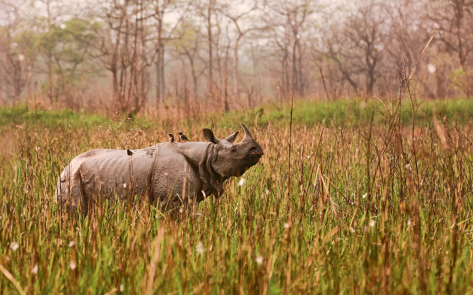
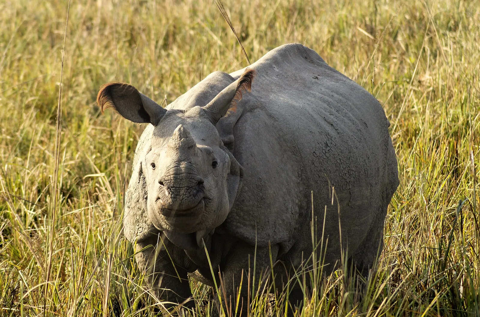
Orang National Park is an Assam wildlife reserve beside the Brahmaputra. People visit to see its diverse animal life, including rhinoceroses, elephants, wild buffalo, pygmy hogs and Bengal tigers.

Pobitora Wildlife Sanctuary

32 km away · Morigaon district

Pobitora Wildlife Sanctuary

Pobitora Wildlife Sanctuary is a protected area in Assam, known for its grasslands and wetlands and for supporting a substantial population of Indian rhinoceroses, which draw visitors.

Bhairabkunda

41 km away · Udalguri district

Bhairabkunda

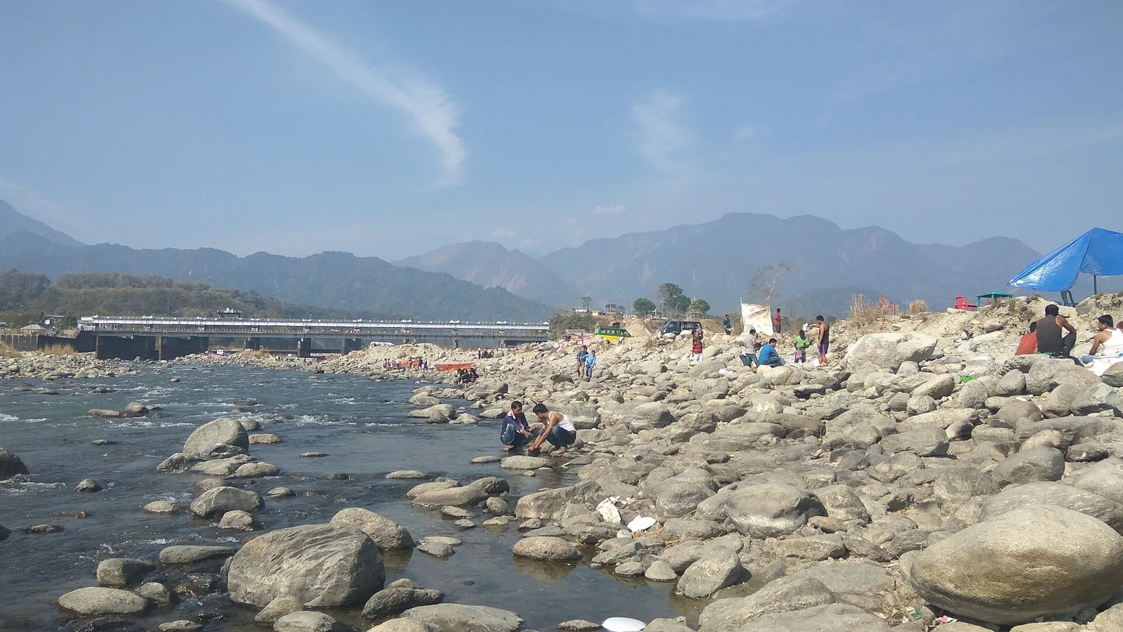
Bhairabkunda is a picnic destination in Assam’s Udalguri district, close to the Bhutanese border, where the Jampani and Bhairabi rivers meet.

Madan Kamdev

46 km away · Kamrup district

Madan Kamdev

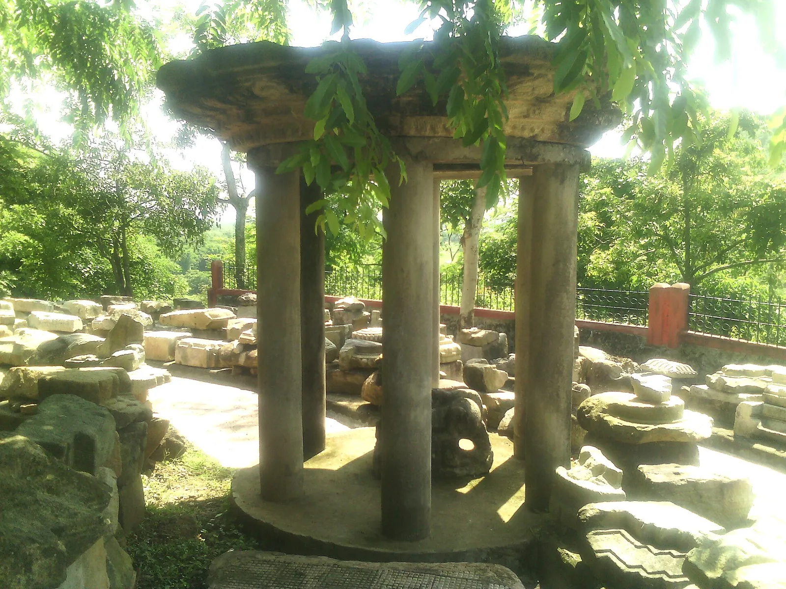
Madan Kamdev is an archaeological site near Baihata Chariali in Assam’s Kamrup district, visited for its Pala-era ruins, medieval stone carvings and sculptures of deities.

Srimanta Sankardev Kalakshetra

54 km away · Kamrup Metropolitan district

Srimanta Sankardev Kalakshetra

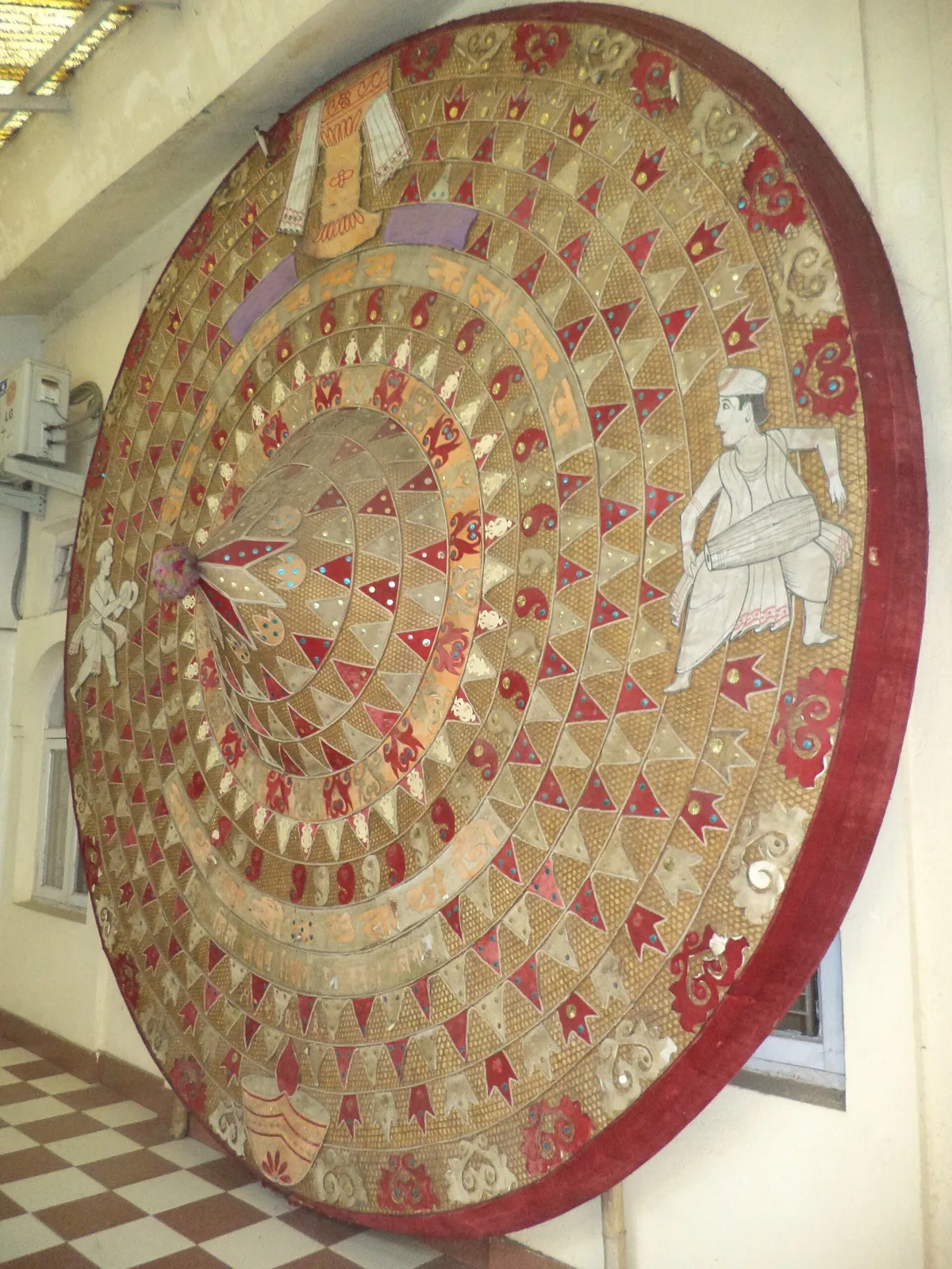
In Panjabari, Guwahati, Srimanta Sankardev Kalakshetra is a cultural complex where visitors explore art and heritage from Assam and the wider North-East.

Umananda Temple

54 km away · Kamrup Metropolitan district

Umananda Temple

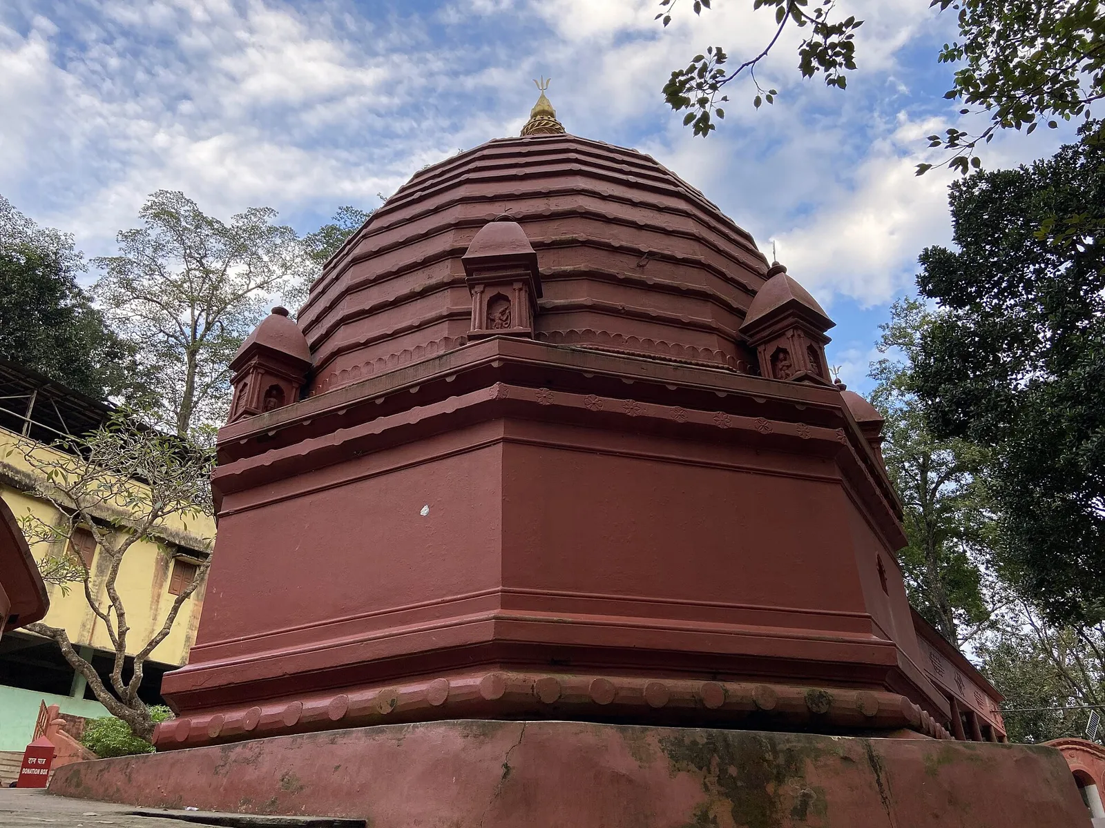
Umananda Temple is a Shiva shrine on Umananda Island in the Brahmaputra, Assam. Visitors come to see the temple and reach the island by country boat.

Basistha Temple

59 km away · Kamrup Metropolitan district

Basistha Temple

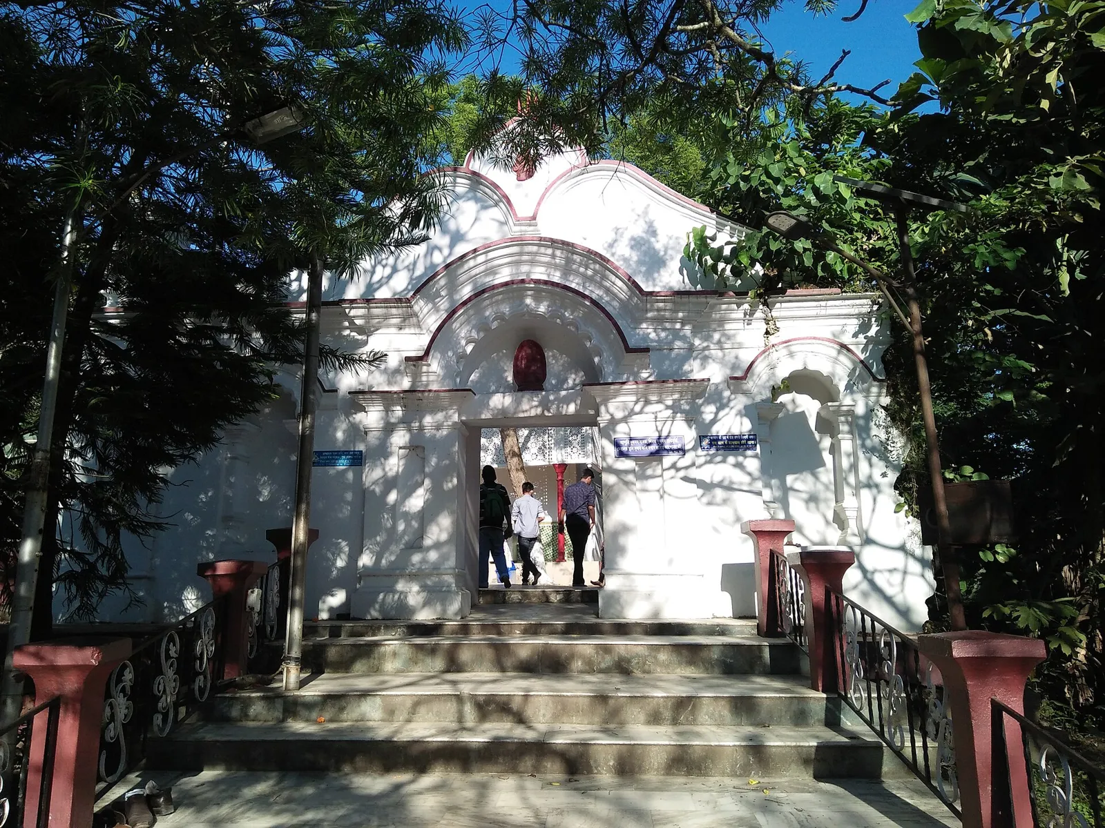
Basistha Temple is a Shiva shrine in south-eastern Guwahati, in Assam’s Kamrup Metropolitan district. People visit the temple and ashram, situated beside streams linked to the city’s river system.

Kamakhya Temple

59 km away · Kamrup Metropolitan district

Kamakhya Temple

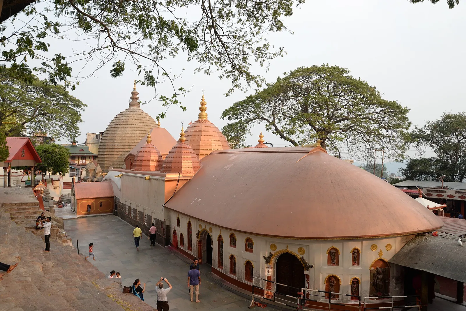
Kamakhya Temple is a Hindu place of worship on Nilachal Hill in Guwahati, Assam. Visitors come for its Tantric traditions, the Ambubachi Mela and its importance in the Shakta pilgrimage tradition.

Map

Kharupatia on the map

  1. 1Orang National Park
  2. 2Pobitora Wildlife Sanctuary
  3. 3Bhairabkunda
  4. 4Madan Kamdev
  5. 5Srimanta Sankardev Kalakshetra
  6. 6Umananda Temple
  7. 7Basistha Temple
  8. 8Kamakhya Temple

Assam

Other cities to explore