Ghumoopedia — Explore, Discover, Experience
Sign in
Uzan Bazaar, near Barpeta

City guide · Assam

Barpeta

Barpeta is the administrative headquarters of Barpeta district and an important commercial and cultural centre in western Assam. About 90 kilometres northwest of Guwahati, it serves nearby towns and agricultural communities, while its location also makes it a useful base for exploring the region.

Famous for

  • Barpeta Satra
  • Doul Mahotsav
  • Sattriya traditions
  • Assamese handloom textiles
  • Traditional mask-making
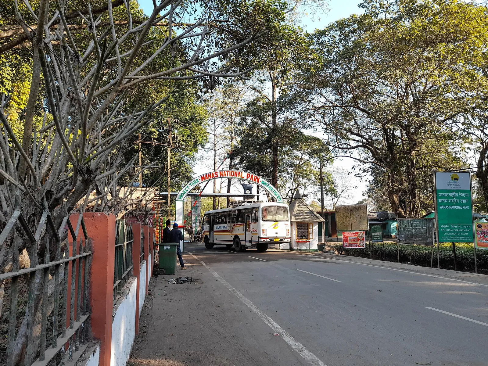
  • Gateway to Manas

Why Barpeta matters

Barpeta is the administrative headquarters of Barpeta district and an important commercial and cultural centre in western Assam. About 90 kilometres northwest of Guwahati, it serves nearby towns and agricultural communities, while its location also makes it a useful base for exploring the region. The town’s name is closely associated with its Vaishnavite heritage: Barpeta and its surroundings contain satras, monastic institutions that preserve devotional practice and Assamese cultural traditions.

The best-known landmark is Barpeta Satra, a centre of worship and learning established by the saint and scholar Madhavdeva in the 16th century. Visitors come for its religious atmosphere, Sattriya dance, devotional music and traditional arts, as well as for the lively Doul Mahotsav, the local celebration of Holi. Barpeta is also a gateway to Manas National Park, around 40 kilometres away, though the town itself offers a quieter look at everyday life in Assam. Rivers, handloom traditions and a busy regional marketplace add to its character.
Famous for: crafts, trade & products

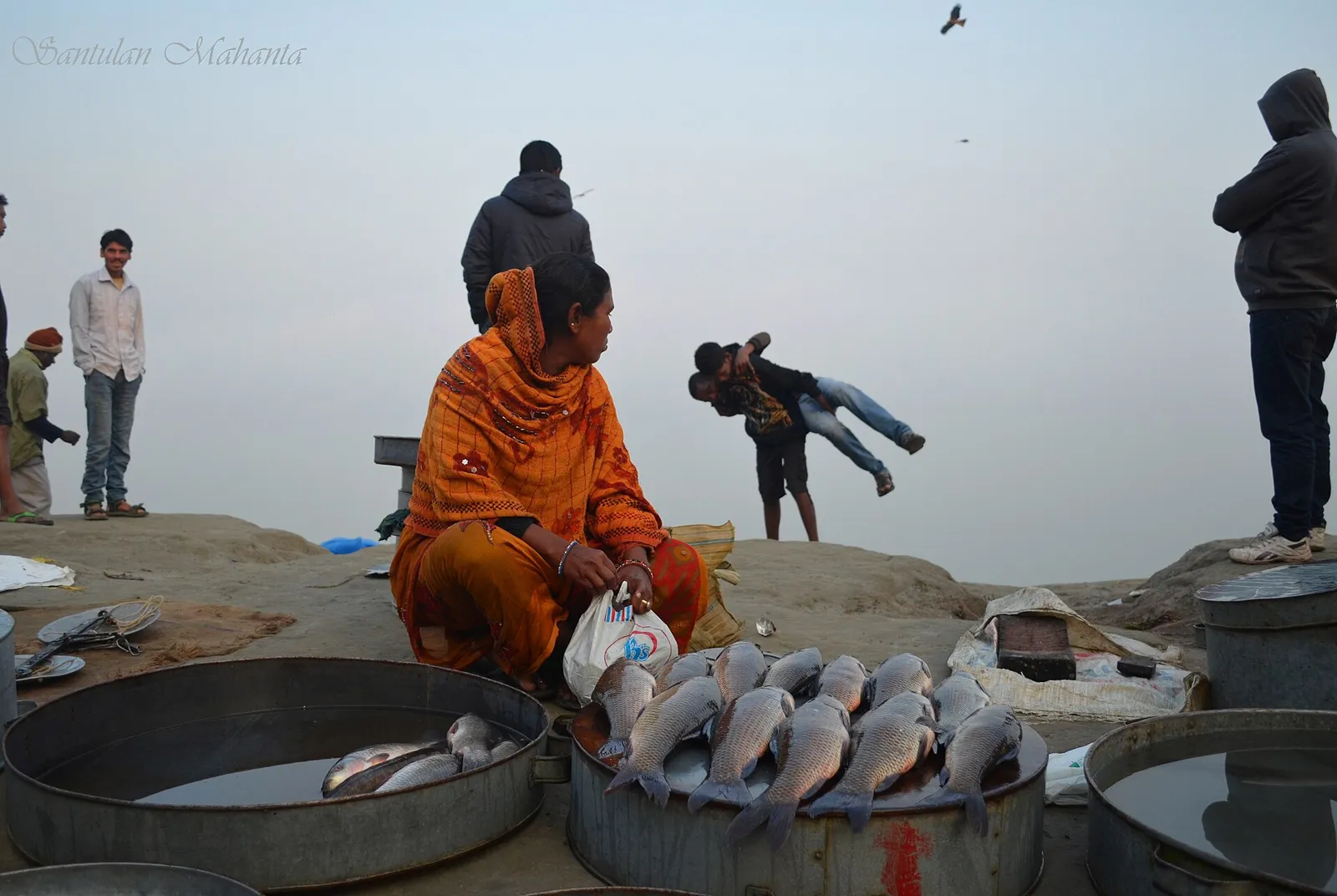
Barpeta’s textile heritage is reflected in its older name, Tatikuchi, commonly interpreted as “cluster of weavers.” Handloom work in the area includes Assamese garments and textiles such as mekhela chadors and gamusas. These are best sought at local handloom shops and town markets; availability and the extent of local production can vary. Barpeta is better known for these living traditions than for a widely recognised city-specific GI-tagged product.

The area’s other notable craft tradition is mask-making, associated with the devotional and performance culture of the satras. Barpeta Satra is the most meaningful place to learn about this art and the religious institution that sustains it; visitors should ask locally about opportunities to see artisans or performances. The satra is also an important institution for Sattriya dance and borgeet, devotional songs. Agriculture supports the surrounding economy, with rice, jute and mustard among the principal crops, while Barpeta’s shops and markets serve a wider western Assam trading area. Rather than a single specialist shopping district, the town’s central commercial areas are the practical places to look for everyday goods, local textiles and regional produce.

History

The area around Barpeta formed part of ancient Kamrup, a historic region of Assam. The town was formerly known as Tatikuchi: in the local Barpetia dialect, the name is understood to refer to a cluster of weavers. Its history was shaped especially by the spread of the Neo-Vaishnavite movement. In the 16th century, saint and scholar Madhavdeva established Barpeta Satra, which became an important centre of religious life and artistic practice.

During the 19th century, Barpeta and nearby areas were administered as a subdivision of the larger Kamrup district under British rule. The settlement developed as a regional administrative and trading centre, serving surrounding villages and agricultural communities. In 1983, Barpeta subdivision became a separate district, and the town took on the role of district headquarters. Its modern identity continues to combine civic administration and commerce with the satra traditions that draw pilgrims and cultural visitors.

Food, festivals & culture

Barpeta’s cultural life is strongly shaped by Ekasarana Dharma and the satras. Barpeta Satra is a place of worship as well as a centre for Sattriya dance, borgeet devotional songs and traditional mask-making. Assamese is the principal language of public and cultural life, and local Barpetia speech is also heard. The town’s religious institutions offer visitors a way to encounter traditions that remain part of everyday community life.

Doul Mahotsav, Barpeta’s distinctive celebration of Holi, is the best-known annual festival and usually takes place in spring. Bihu is also celebrated: Rongali Bihu in spring, Kati Bihu in autumn and Magh Bihu in winter. These occasions bring together music, dance, prayer and seasonal customs. Everyday food follows Assamese patterns, with rice, fish, leafy greens and dishes such as tangy fish tenga and khar. Pitha and larus—traditional rice cakes and sweets—are especially associated with festivals and family gatherings. Visitors can find local meals in town eateries, though menus and availability vary.

Visiting the city

October to March is generally the most comfortable period to visit, with cooler, drier weather; spring is especially appealing for Doul Mahotsav. The monsoon months can bring heavy rain, so allow flexibility for road journeys. Lokpriya Gopinath Bordoloi International Airport in Guwahati is the nearest major airport. Barpeta Road railway station, outside Barpeta town, is the main railhead serving the area; continue from there by road.

Within town, auto-rickshaws and other local vehicles are useful for short trips, while taxis or buses connect Barpeta with nearby places. Begin with Barpeta Satra and the central town’s markets, then ask locally about visiting other satras in the surrounding area. Manas National Park makes a rewarding onward excursion, but arrange road transport in advance and check current park access conditions.

Trips from the city

Nearest places to visit from Barpeta

Our closest destination guides, by straight-line distance.

Uzan Bazaar

12 km away · Kamrup Metropolitan district

Uzan Bazaar

Uzan Bazaar is a long-established neighbourhood in Guwahati, with both homes and businesses. Visitors may come for its commercial activity and to explore an area counted among the city’s oldest settlements.

Sarthebari

22 km away · Barpeta district

Sarthebari

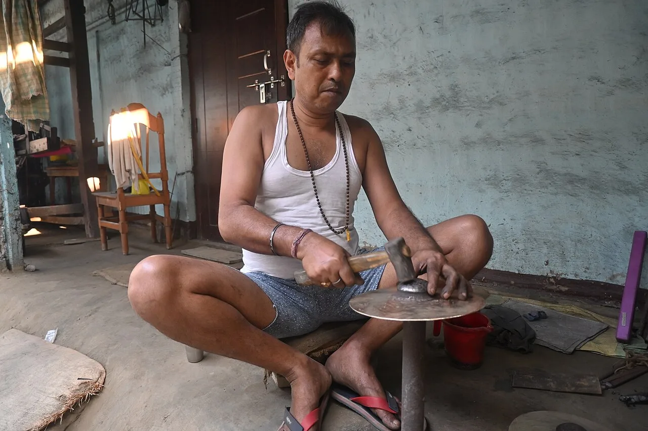
Sarthebari is a settlement in Assam’s Barpeta district, described as both a village and a town with a town area committee. Visitors are drawn by its bell-metal craft.

Sri Surya Pahar

37 km away · Goalpara district

Sri Surya Pahar

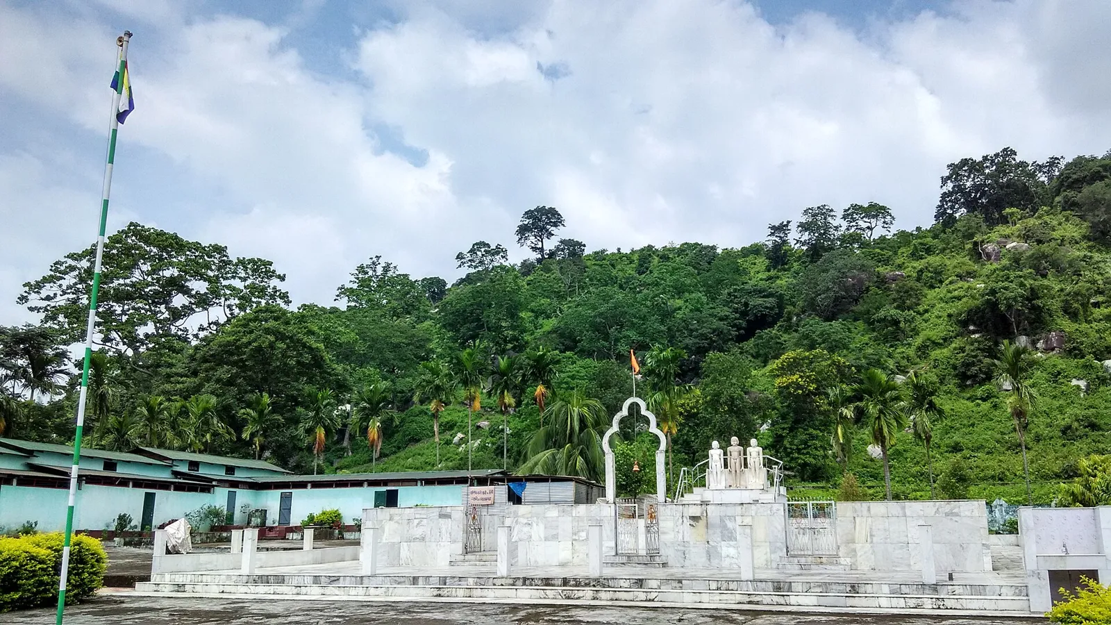
Sri Surya Pahar is an archaeological landscape in Assam, marked by remains associated with Hinduism, Buddhism and Jainism. Visitors come to see its scattered lingas, stupas, figures and evidence of an ancient settlement.

Manas National Park

45 km away · Baksa district

Manas National Park

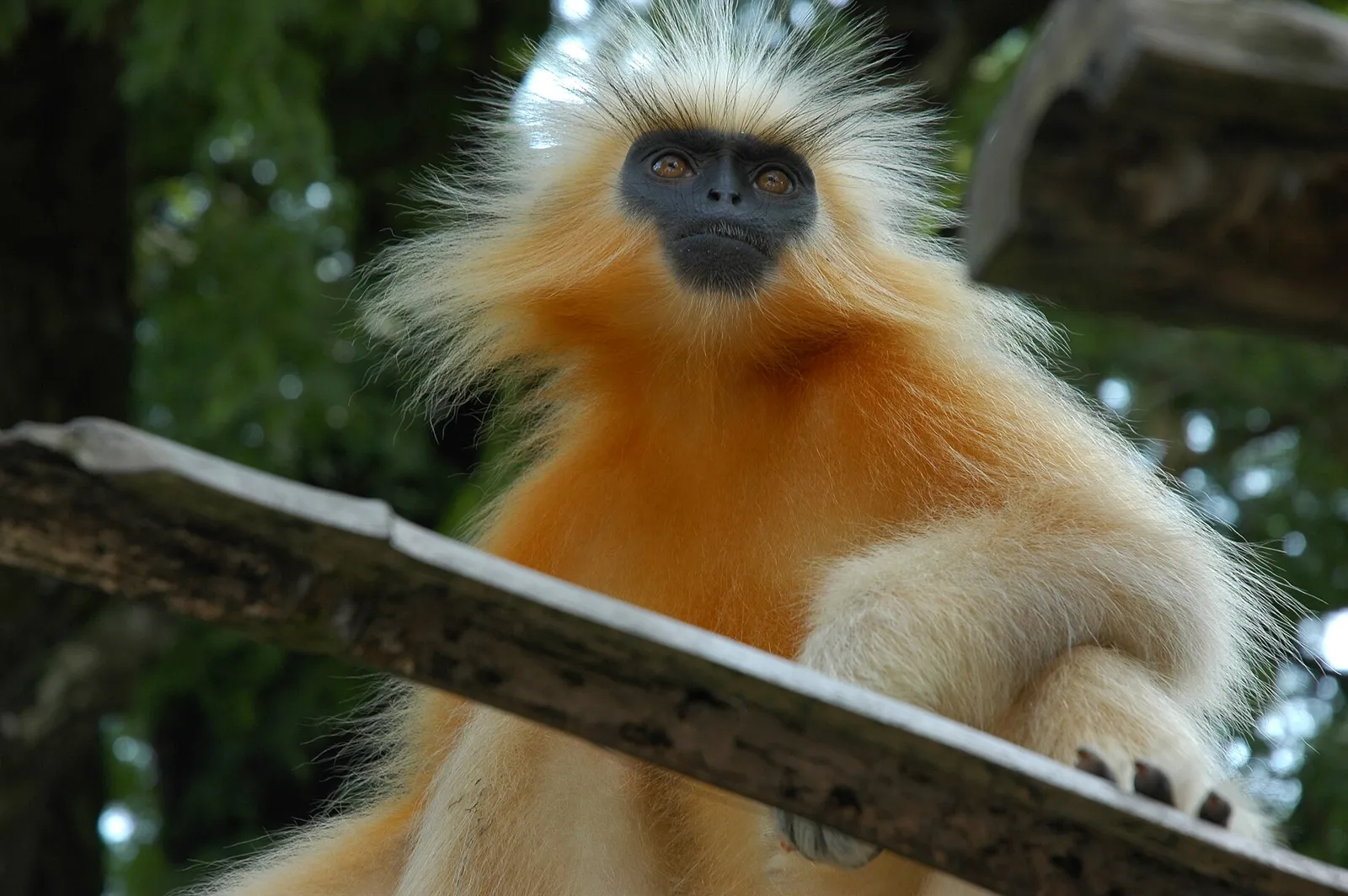
In Assam’s Baksa district, Manas is known for varied habitats and rare wildlife; visitors come to see species such as the pygmy hog and golden langur.

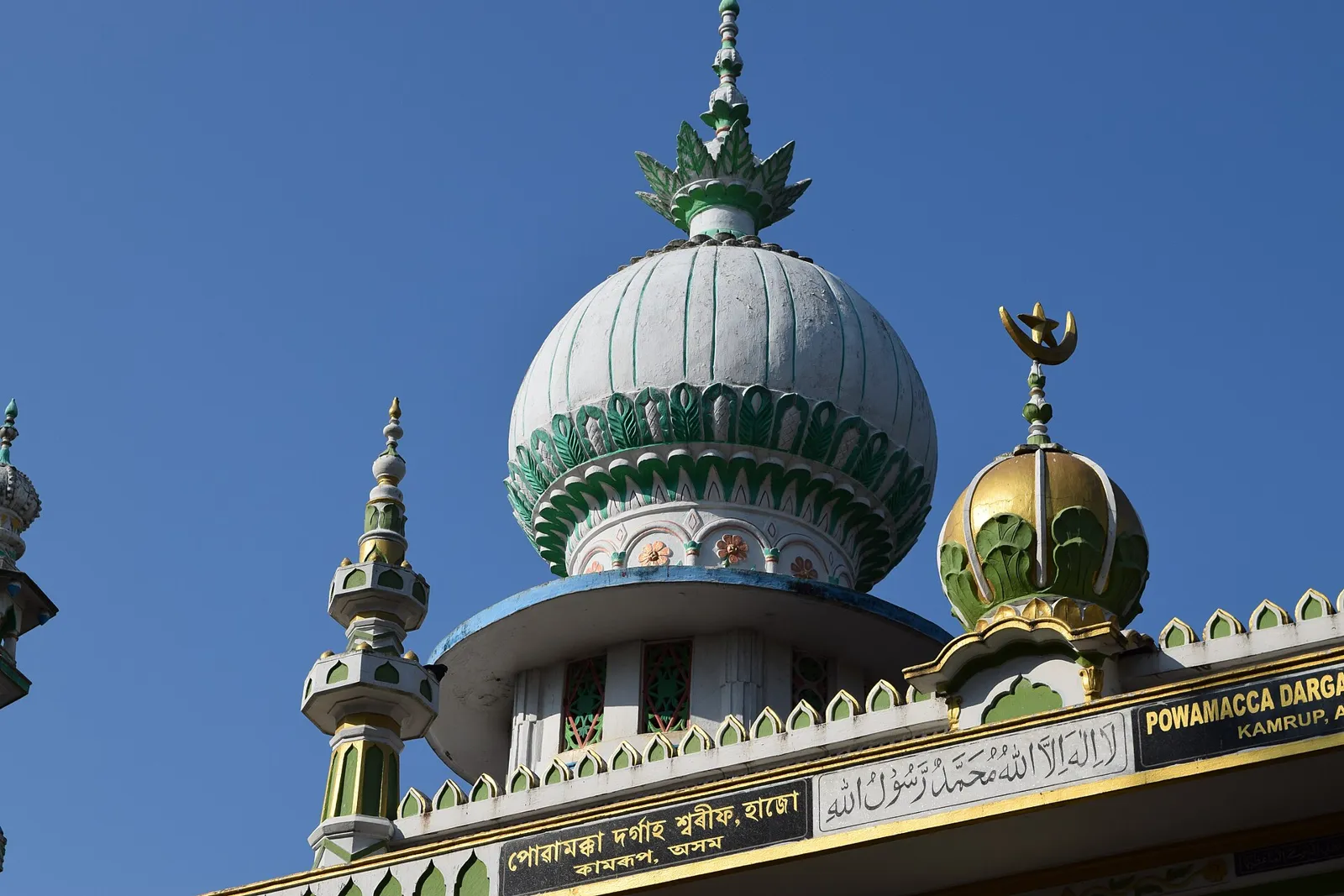
Hajo

53 km away · Kamrup district

Hajo

Hajo, in Assam’s Kamrup district, is an old town visited for pilgrimage sites sacred to Hindus, Buddhists and Muslims, and for its temples, monuments and tortoise-preservation tradition.

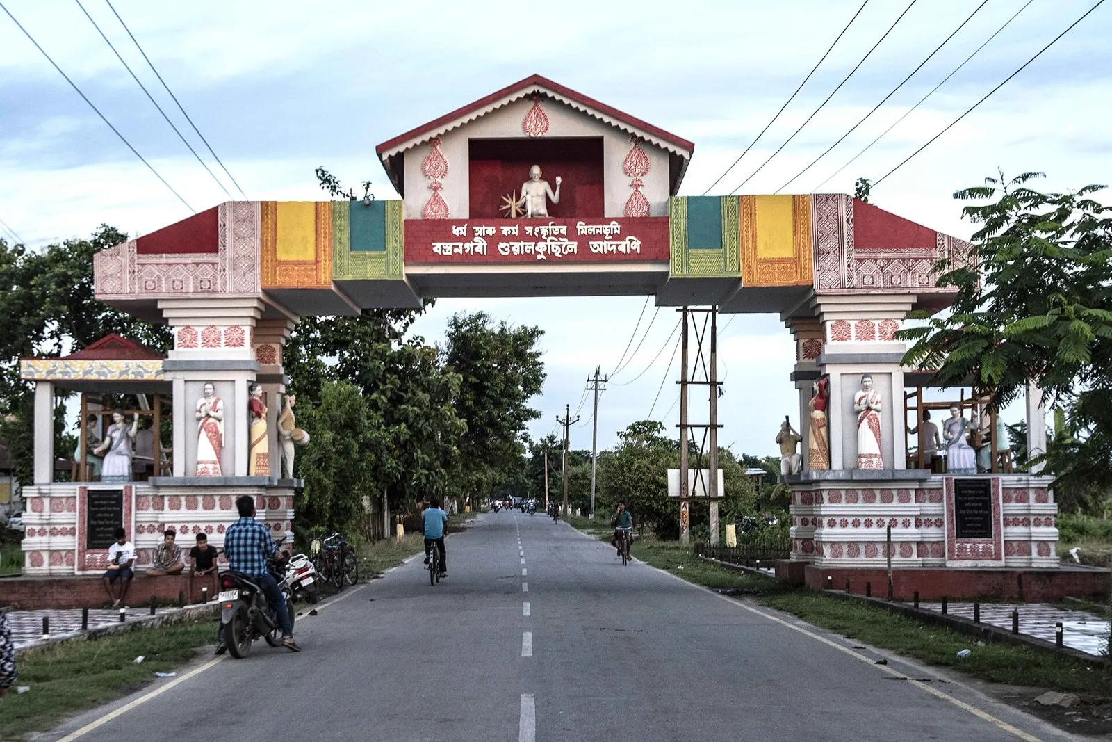
Sualkuchi

59 km away · Kamrup district

Sualkuchi

Sualkuchi is a census town in Assam’s Kamrup district, known for its handloom cottage industry. Visitors can see the historic Sidheswar Devalaya and the Gandhi Aashram beside the Brahmaputra.

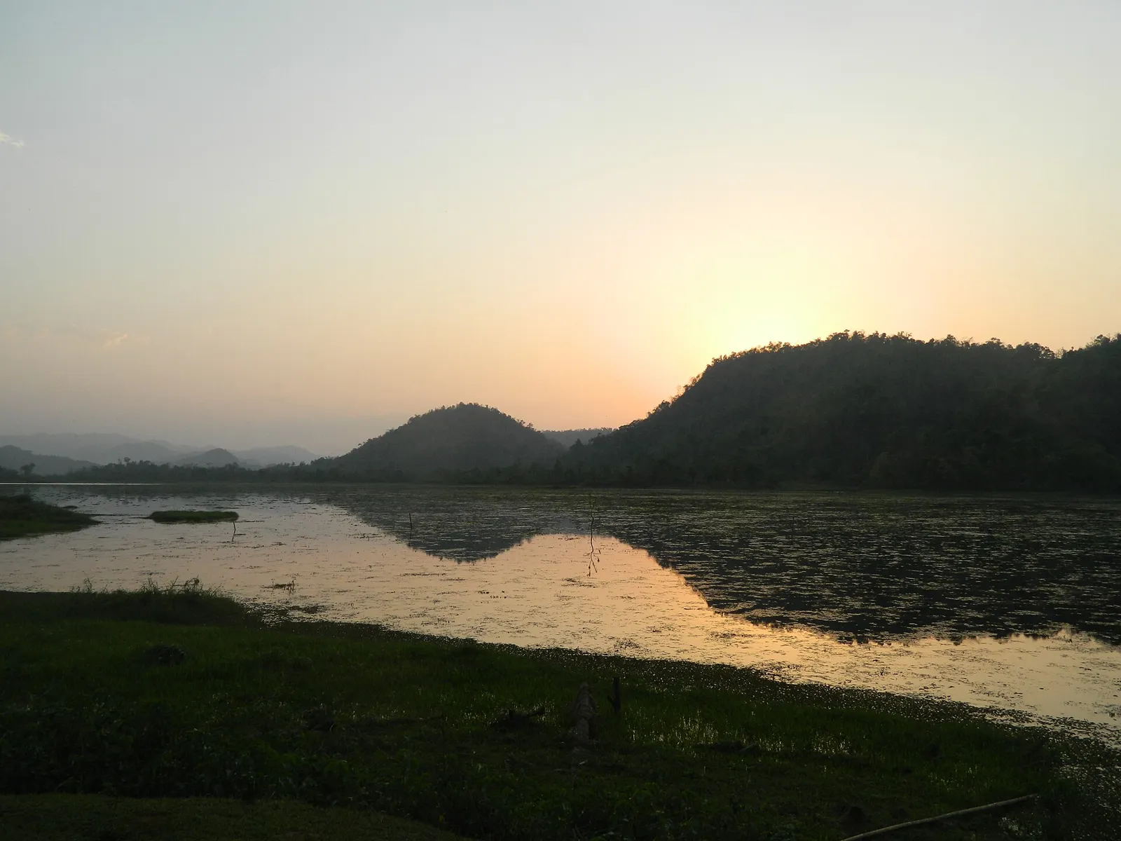
Chandubi Lake

64 km away · Kamrup district

Chandubi Lake

Within Kamrup district’s Rabha Hasong Autonomous Council, Chandubi Lake is a natural lake near the Garo Hills. Visitors come for its forest setting, winter birdlife, sightseeing and picnics.

Chakrashila Wildlife Sanctuary

67 km away · Kokrajhar district

Chakrashila Wildlife Sanctuary

In Assam, Chakrashila Wildlife Sanctuary covers parts of Kokrajhar and Dhubri districts. Visitors are drawn by its golden langurs; it is the country’s second protected habitat for the species.

Map

Barpeta on the map

  1. 1Uzan Bazaar
  2. 2Sarthebari
  3. 3Sri Surya Pahar
  4. 4Manas National Park
  5. 5Hajo
  6. 6Sualkuchi
  7. 7Chandubi Lake
  8. 8Chakrashila Wildlife Sanctuary

Assam

Other cities to explore