Ghumoopedia — Explore, Discover, Experience
Sign in
Chakrashila Wildlife Sanctuary, near Chapar

City guide · Assam

Chapar

Chapar is a small town in Dhubri district, western Assam, set beside the Champabati River. Its location on National Highway 17 gives it a practical role as a local service and trading centre, connecting surrounding communities with other towns in the region.

Famous for

  • Champabati River setting
  • National Highway 17
  • Ratnapith College
  • Chapar Higher Secondary School
  • Local brick-making

Why Chapar matters

Chapar is a small town in Dhubri district, western Assam, set beside the Champabati River. Its location on National Highway 17 gives it a practical role as a local service and trading centre, connecting surrounding communities with other towns in the region. The river and nearby low-lying land shape the town’s landscape, but also bring recurring flood risk during the rainy season.

Chapar is known locally for educational institutions including Ratnapith College, Chapar Higher Secondary School and Chapar Girls High School. It is not a major sightseeing destination, but visitors may pass through for local business, family visits or journeys across western Assam. The riverbank and everyday town life offer a glimpse of a smaller settlement beyond the state’s main tourist circuit. Brick-making is part of the local industrial activity; emissions from kilns are also an environmental concern, particularly in winter.
Famous for: crafts, trade & products

Chapar is better known for education, transport and local services than for a distinctive textile, handicraft or GI-tagged product. Ratnapith College and the town’s schools serve students from Chapar and nearby communities, giving education a visible place in local life. National Highway 17 supports movement of people and goods, while ordinary shops and market areas cater to daily needs.

Brick-making is among the town’s industrial activities, but it is not a visitor-oriented craft or a specialty product to seek out. Kiln emissions have raised concerns about air quality, so the industry is also part of local environmental discussion. There is no widely established tourist market for a particular craft or regional product in Chapar. Visitors looking for everyday goods can browse shops in the town centre and along the main road; for a wider choice of regional products, larger commercial centres in the district may be more suitable. Chapar’s identity rests chiefly on its role as a highway town and education centre rather than on a famous shopping district.

History

Chapar’s local founding story and early landmarks are not widely documented. Its past is best understood within the history of western Assam, a region where the influence of Koch rulers and Mughal-era contests shaped political boundaries and local connections. Over time, the area came under British administration, and changing district arrangements linked it to the broader development of Assam.

In the modern period, Chapar grew as a local settlement serving nearby villages. Road connections, especially the route now designated National Highway 17, strengthened its role as a centre for travel, trade and public services. Schools and Ratnapith College have contributed to its importance for education in the surrounding area. Chapar is now part of Dhubri district. Its riverside setting remains central to its character, while seasonal flooding and the growth of local industry continue to affect daily life and development.

Food, festivals & culture

Everyday food in Chapar reflects the wider food traditions of western Assam: rice is central, often served with fish, vegetables, leafy greens or preparations such as pitika. Pitha and other rice-based treats are common during festive occasions, though menus vary between households and communities. Assamese and Bengali are widely used in the region, alongside local Goalpariya speech and Hindi in some interactions.

Bihu is an important seasonal celebration across Assam: Rongali Bihu comes in spring, Bhogali Bihu in winter and Kongali Bihu in autumn. Folk music and dance traditions, including Bihu and Goalpariya styles, form part of the broader cultural landscape. Chapar’s community life also includes religious observances at local temples and mosques; visitors should dress respectfully and follow local customs. Festivals and family gatherings, rather than formal performance venues, are often the best way to encounter local cultural life.

Visiting the city

The drier months, broadly October to April, are generally more convenient for travel, though winter air quality can be affected by brick-kiln emissions. Monsoon months bring heavier rain and possible flooding, so check local conditions before setting out. Rupsi Airport, near Dhubri, is the closest airport; confirm current flight availability before planning around it. Bilasipara railway station is a nearby rail stop, while New Bongaigaon Junction is a larger interchange with broader connections.

National Highway 17 is the main road route through Chapar. Local shared vehicles, taxis and auto-rickshaws can help with short trips, subject to availability. The town centre and main-road shops show everyday local life, while the Champabati River offers a sense of Chapar’s riverside setting. Keep weather and river conditions in mind when visiting low-lying areas.

Trips from the city

Nearest places to visit from Chapar

Our closest destination guides, by straight-line distance.

Chakrashila Wildlife Sanctuary

14 km away · Kokrajhar district

Chakrashila Wildlife Sanctuary

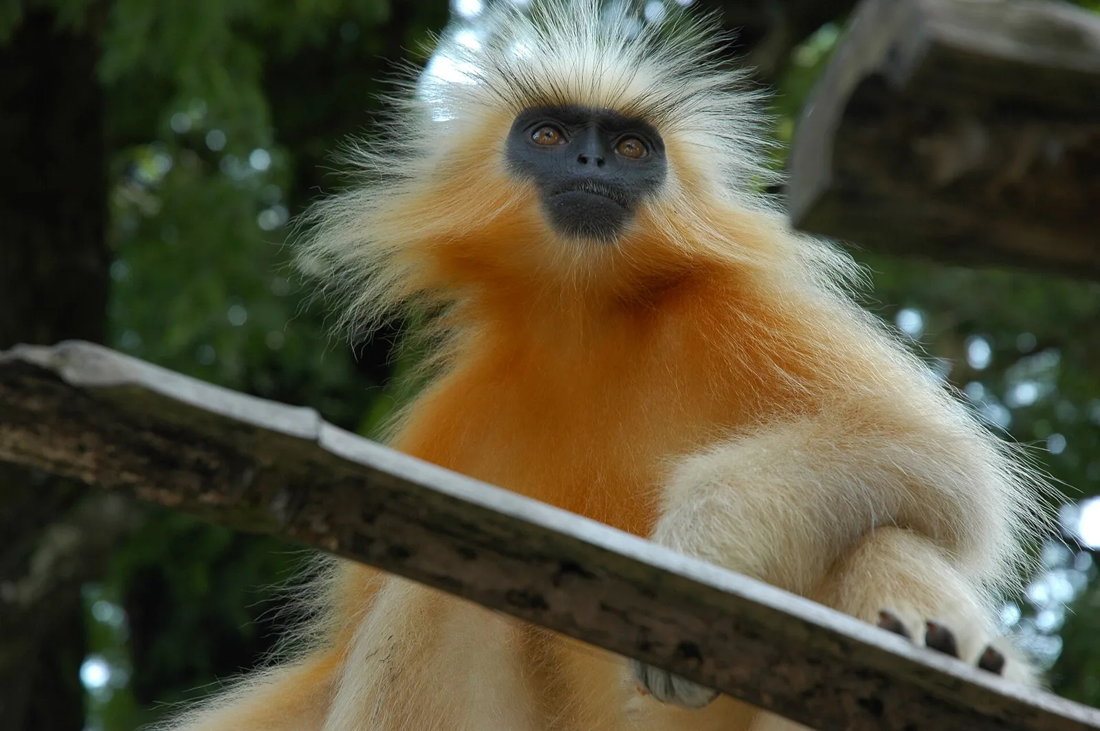
In Assam, Chakrashila Wildlife Sanctuary covers parts of Kokrajhar and Dhubri districts. Visitors are drawn by its golden langurs; it is the country’s second protected habitat for the species.

Sri Surya Pahar

32 km away · Goalpara district

Sri Surya Pahar

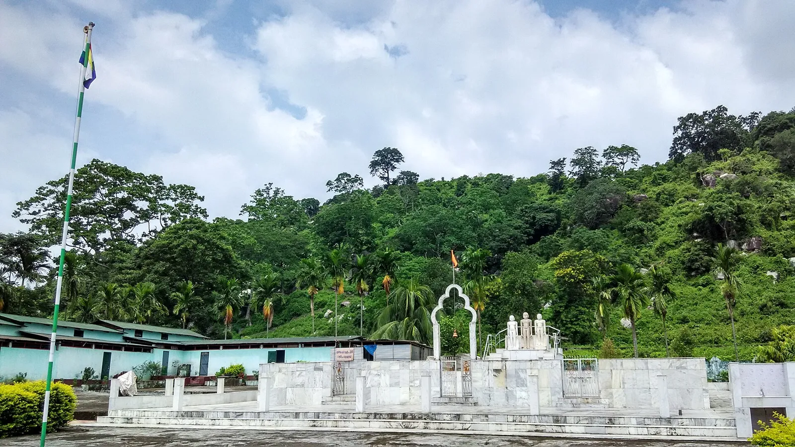
Sri Surya Pahar is an archaeological landscape in Assam, marked by remains associated with Hinduism, Buddhism and Jainism. Visitors come to see its scattered lingas, stupas, figures and evidence of an ancient settlement.

Asharikandi

50 km away · Dhubri district

Asharikandi

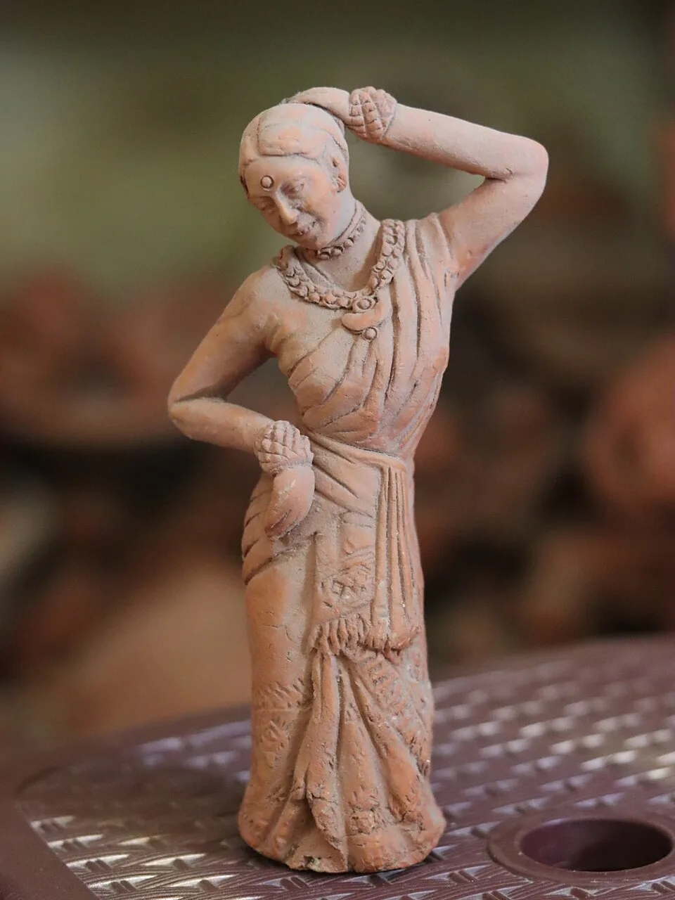
Asharikandi is a village in Assam’s Dhubri district, known for traditional terracotta and pottery. Visitors come to learn about its craft traditions and one of India’s largest concentrations of these crafts.

Uzan Bazaar

67 km away · Kamrup Metropolitan district

Uzan Bazaar

Uzan Bazaar is a long-established neighbourhood in Guwahati, with both homes and businesses. Visitors may come for its commercial activity and to explore an area counted among the city’s oldest settlements.

Manas National Park

69 km away · Baksa district

Manas National Park

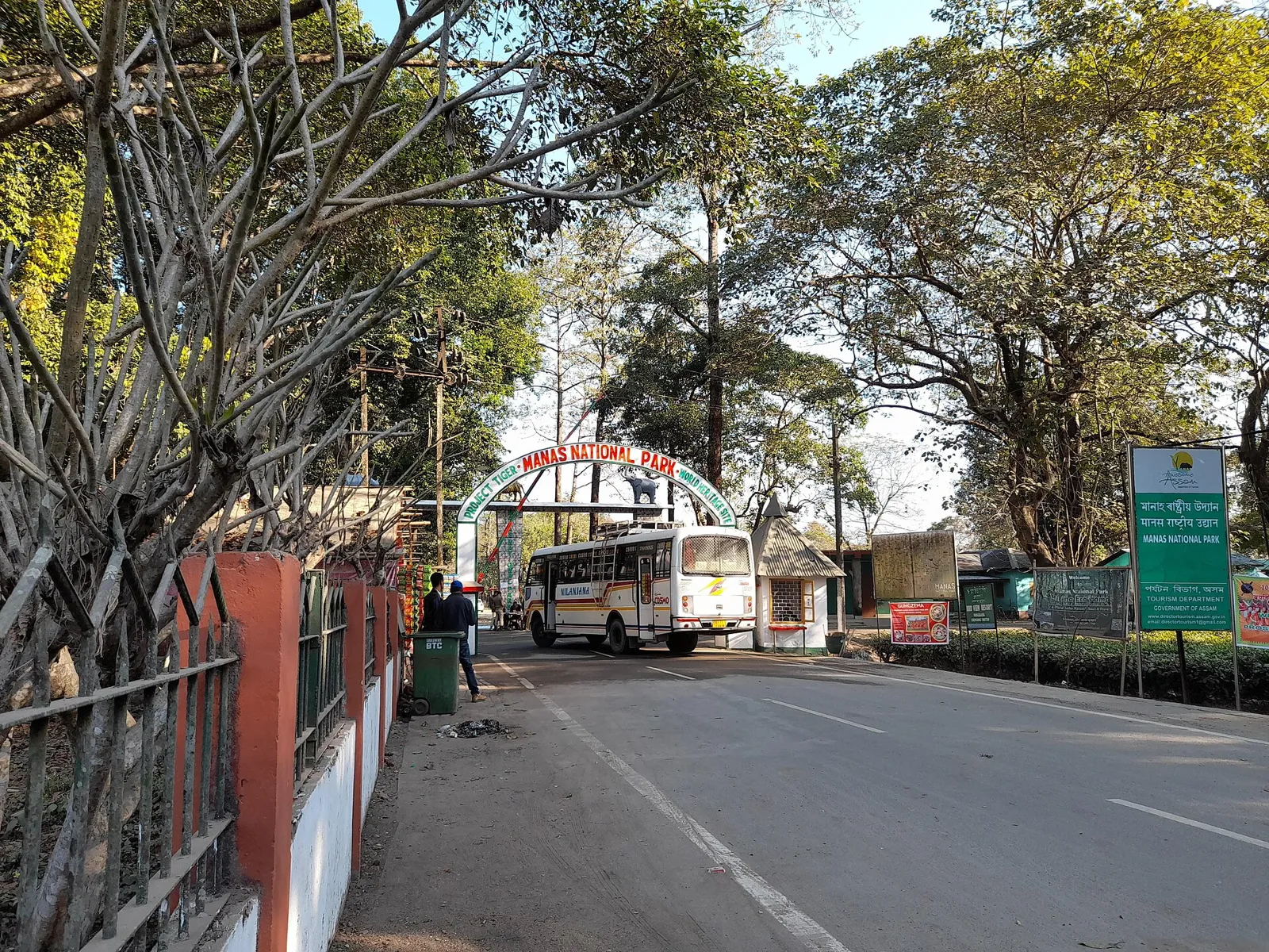
In Assam’s Baksa district, Manas is known for varied habitats and rare wildlife; visitors come to see species such as the pygmy hog and golden langur.

Sarthebari

78 km away · Barpeta district

Sarthebari

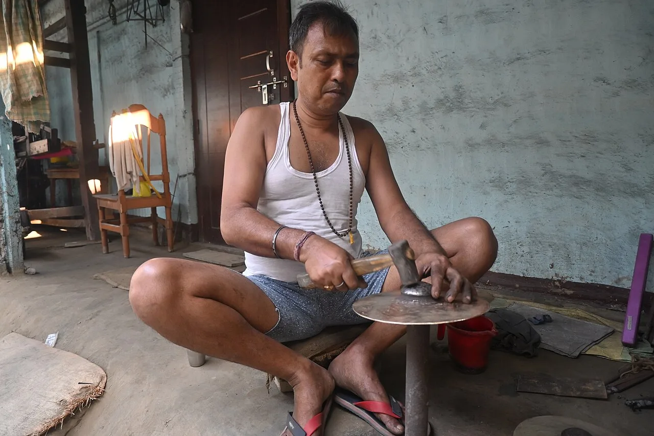
Sarthebari is a settlement in Assam’s Barpeta district, described as both a village and a town with a town area committee. Visitors are drawn by its bell-metal craft.

Chandubi Lake

107 km away · Kamrup district

Chandubi Lake

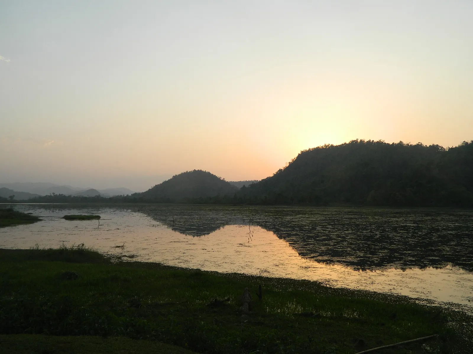
Within Kamrup district’s Rabha Hasong Autonomous Council, Chandubi Lake is a natural lake near the Garo Hills. Visitors come for its forest setting, winter birdlife, sightseeing and picnics.

Hajo

108 km away · Kamrup district

Hajo

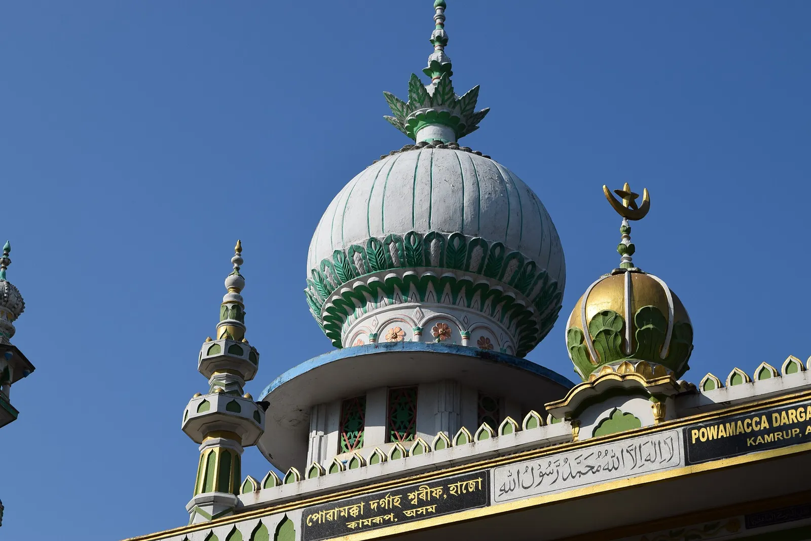
Hajo, in Assam’s Kamrup district, is an old town visited for pilgrimage sites sacred to Hindus, Buddhists and Muslims, and for its temples, monuments and tortoise-preservation tradition.

Map

Chapar on the map

  1. 1Chakrashila Wildlife Sanctuary
  2. 2Sri Surya Pahar
  3. 3Asharikandi
  4. 4Uzan Bazaar
  5. 5Manas National Park
  6. 6Sarthebari
  7. 7Chandubi Lake
  8. 8Hajo

Assam

Other cities to explore