Ghumoopedia — Explore, Discover, Experience
Sign in
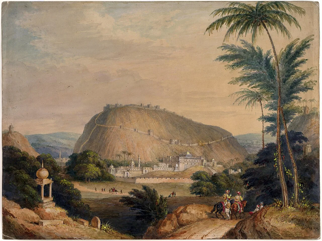
Gagron Fort, near Aklera

City guide · Rajasthan

Aklera

Aklera is a small municipality in Jhalawar district, in Rajasthan’s south-eastern Hadoti region. Its location near the Madhya Pradesh border places it at a meeting point of Rajasthan’s Hada heritage and the landscapes of the Malwa plateau.

Famous for

  • Hadoti regional heritage
  • Malwa plateau edge
  • Black-cotton farmland
  • Parban and Newaj rivers
  • Rural market town

Why Aklera matters

Aklera is a small municipality in Jhalawar district, in Rajasthan’s south-eastern Hadoti region. Its location near the Madhya Pradesh border places it at a meeting point of Rajasthan’s Hada heritage and the landscapes of the Malwa plateau. Rocky, scrub-covered rises give way to fertile plains, where dark black-cotton soil supports farming. The Parban, Newaj and Chapi rivers are part of the wider landscape.

Aklera matters chiefly as a local administrative and market centre for surrounding villages rather than as a major monument destination. Visitors come for a quieter view of rural Hadoti, its everyday markets and its open countryside. The town can also serve as a practical stop for exploring this less-visited corner of Jhalawar district. The district is known for receiving more monsoon rain than much of Rajasthan, lending the area a greener character during and after the rains. Aklera’s appeal lies in this combination of regional history, agricultural life and borderland scenery.
Famous for: crafts, trade & products

Aklera is not widely identified with a signature textile, handicraft or GI-tagged product. Its commercial role is primarily local: the town’s central market serves residents and nearby farming communities, with everyday goods and agricultural produce moving through the area. Visitors can browse the main market for provisions and locally available seasonal produce, but should not expect a dedicated craft bazaar or a well-established tourist shopping district.

Farming is an important part of the surrounding economy. Fertile plains and black-cotton soil support cultivation, while the local rivers and monsoon rains shape the agricultural landscape. Markets may reflect the needs of this rural hinterland, though the range of produce varies with season. Aklera is better understood as a service and trading centre than as a manufacturing hub. For specialist textiles, handicrafts or a broad selection of Rajasthan souvenirs, travellers are more likely to find established choices in larger regional cities. There is no particular local product or craft that can confidently be presented as Aklera’s defining purchase.

History

Aklera lies in Hadoti, a historical region associated with the Hada branch of the Chauhan Rajputs. In the 12th century, Hada Rao Deva established Bundi State and the Hada presence in the region. In the early 17th century, Bundi ruler Rao Ratan Singh granted the principality of Kota to his son Madho Singh; under Mughal emperor Shah Jahan, Madho Singh received formal recognition as Kota’s ruler. Hada territories extended across parts of present-day south-eastern Rajasthan and towards the Malwa plateau.

The later political landscape changed under British influence. Jhalawar State was formed in 1838 from territory belonging to Kota, following an agreement involving the British, Kota and Malwa. Aklera developed within this changing district setting as a town serving its surrounding rural area. Today it is a municipality and local administrative centre in Jhalawar district. Its history is best read as part of the wider story of Hadoti and the former Bundi and Kota territories, rather than as a separate princely capital.

Food, festivals & culture

Aklera shares the food traditions of south-eastern Rajasthan and the wider Hadoti region. Everyday meals commonly draw on wheat, pulses, vegetables and seasonal ingredients; familiar Rajasthani preparations such as dal-baati-churma and savoury snacks may be found, alongside sweets sold in local shops. Offerings vary by household and season, so the town is not especially known for a single defining dish. The central market is the most practical place to look for everyday food and refreshments.

Hindi is widely used, while Hadoti and other Rajasthani speech forms are part of local conversation. Hindu festivals such as Holi and Diwali are observed, with Teej and Gangaur also part of the broader regional calendar; dates follow the Hindu lunar calendar. Religious life is expressed through neighbourhood places of worship, including temples and mosques. Folk music and dance traditions associated with Hadoti and Rajasthan form part of regional celebrations, though performances are generally tied to occasions rather than staged as a regular visitor attraction. Aklera’s cultural character is primarily local and community-centred.

Visiting the city

September to March is generally the most comfortable period to visit, after the monsoon and through the cooler months. Summers can be very hot, while the rainy season brings heavier showers and greener countryside. Kota Airport is the closest airport, but scheduled commercial options may be limited; check current services before planning. For wider air connections, travellers commonly consider Jaipur International Airport. Jhalawar Road railway station is a nearby railhead, while Kota Junction offers broader rail connections.

Aklera is easiest to explore by road, using local taxis or other locally available transport for nearby villages and countryside. Start around the central market and town centre for everyday town life, then explore the rural roads and agricultural landscape beyond the built-up area. Confirm onward transport locally, especially for visits outside town.

Trips from the city

Nearest places to visit from Aklera

Our closest destination guides, by straight-line distance.

Gagron Fort

46 km away · Jhalawar district

Gagron Fort

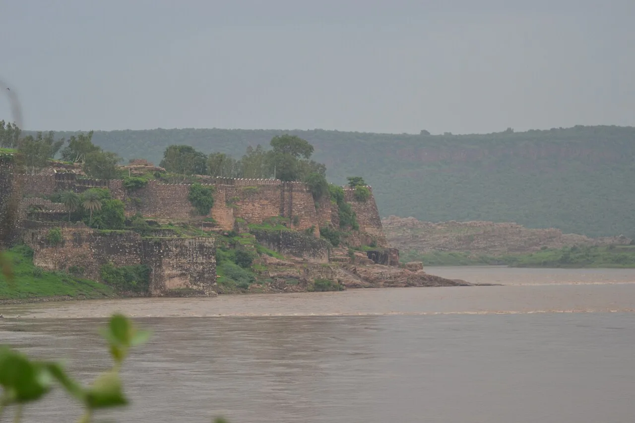
Gagron Fort is a historic stronghold in Rajasthan’s Hadoti region, known for its river defences and UNESCO recognition. Visitors come to explore its history and distinctive setting.

Mukundara Hills Tiger Reserve

88 km away · Kota district

Mukundara Hills Tiger Reserve

In southeastern Rajasthan, Mukundara Hills Tiger Reserve protects a landscape of forest, hills and wildlife habitat. Visitors can explore a reserve centred on a national park and several adjoining sanctuaries.

Kaithoon

101 km away · Kota district

Kaithoon

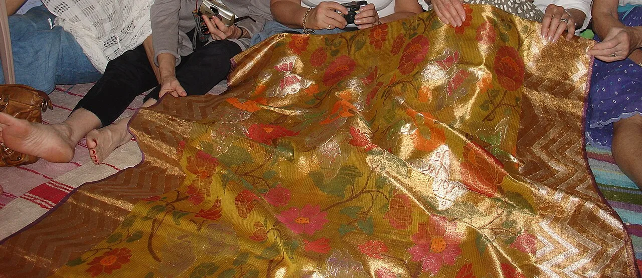
Kaithoon is a town and municipality in Rajasthan’s Kota district, known for its association with Kota Doria sarees, which are a reason for visitors’ interest.

Bundi

148 km away · Bundi district

Bundi

Bundi is a city in Rajasthan’s Hadoti region, within Bundi district. Visitors come to explore the city and its setting in north-western India.

Raniji ki Baori

148 km away · Bundi district

Raniji ki Baori

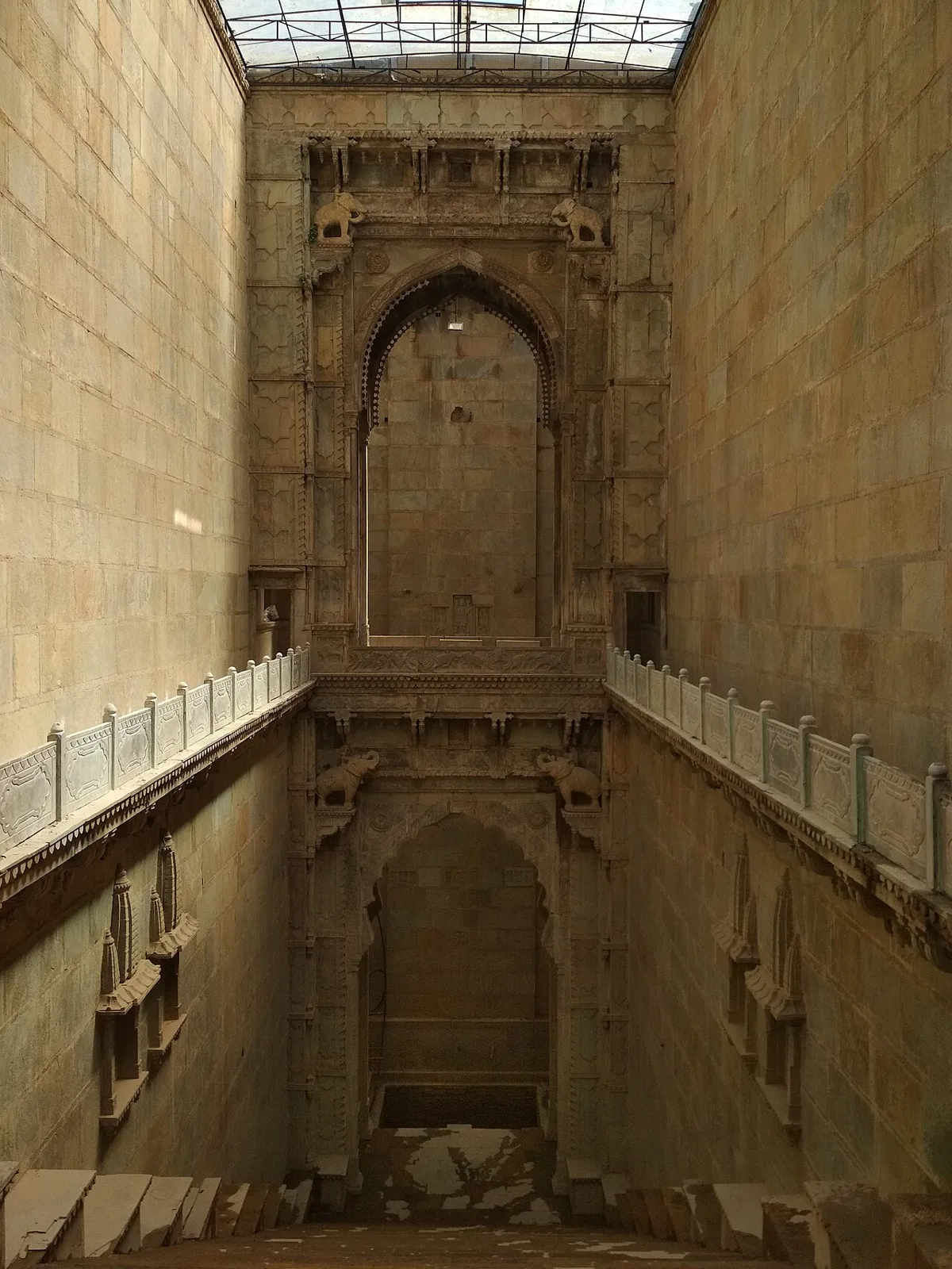
Raniji ki Baori is a multi-level stepwell in Bundi, Rajasthan, built by Rani Nathavati Solanki in 1699. Visitors come to see its deep stairwell, carved pillars and ornate arches.

Taragarh Fort, Bundi

149 km away · Bundi district

Taragarh Fort, Bundi

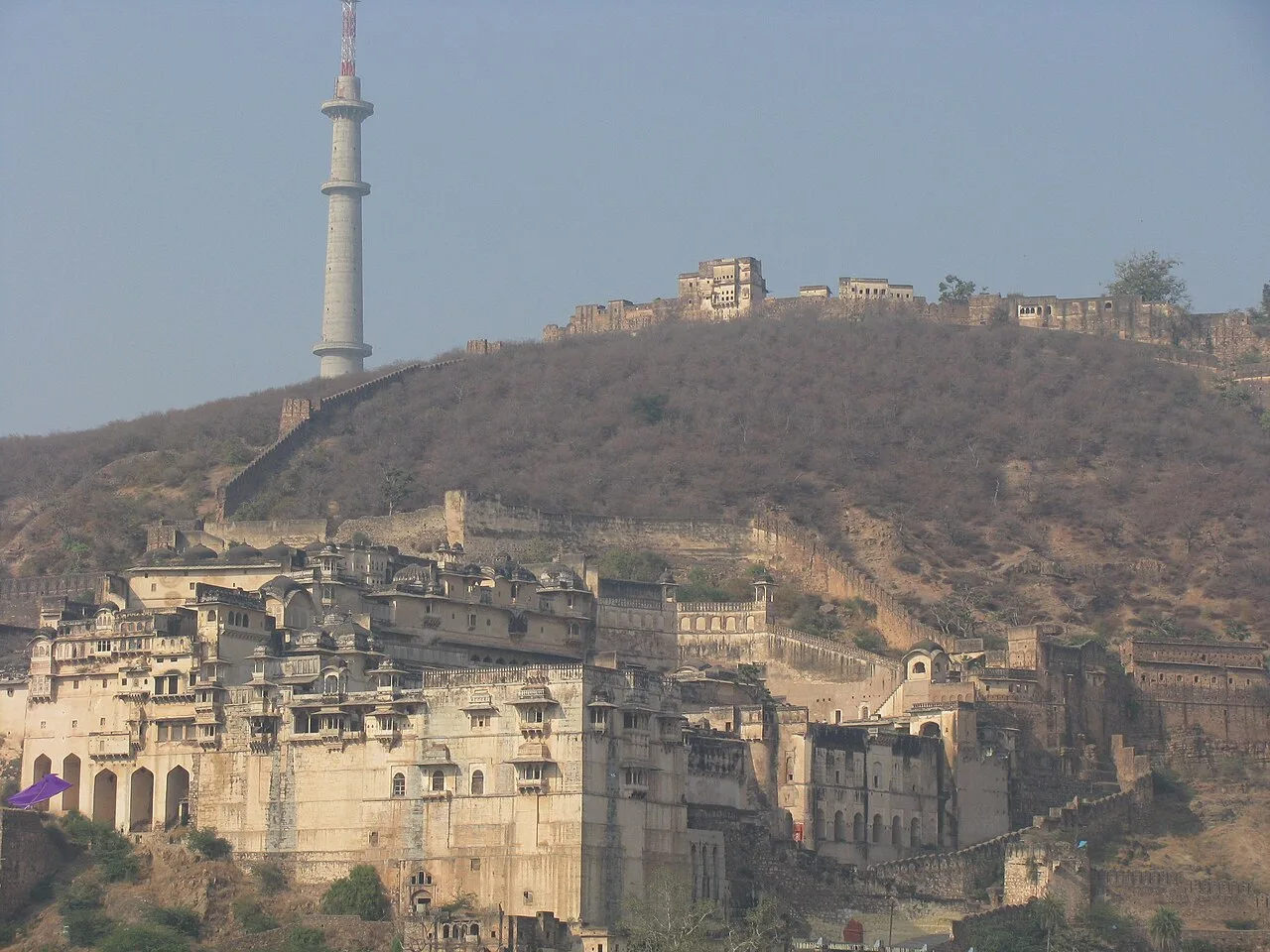
Taragarh Fort is a hilltop stronghold in Bundi, Rajasthan. Visitors come to see its Rajput architecture, elements influenced by Mughal design and passages made for wartime escape.

Menal

160 km away · Bhilwara district

Menal

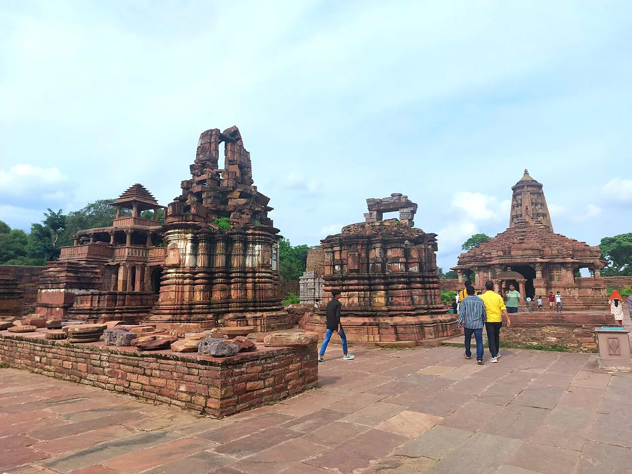
Menal is a village in Rajasthan linked with Begun Taluk and both Chittorgarh and Bhilwara districts; no particular attraction or reason for visiting is specified.

Ranthambore Fort

179 km away · Sawai Madhopur district

Ranthambore Fort

Set within Ranthambore National Park near Sawai Madhopur, this historic Rajasthan fort draws visitors for its past, elevated views over the park and UNESCO World Heritage status.

Map

Aklera on the map

  1. 1Gagron Fort
  2. 2Mukundara Hills Tiger Reserve
  3. 3Kaithoon
  4. 4Bundi
  5. 5Raniji ki Baori
  6. 6Taragarh Fort, Bundi
  7. 7Menal
  8. 8Ranthambore Fort

Rajasthan

Other cities to explore