Ghumoopedia — Explore, Discover, Experience
Sign in
Rajsamand Lake, near Amet

City guide · Rajasthan

Amet

Amet is a municipal town in Rajasthan’s Rajsamand district, set in the historic Mewar region. Its significance is closely tied to the former Amet estate and the Chundawat branch of the Sisodia family, making it a place of interest for visitors exploring Mewar’s local history beyond its better-known centres.

Famous for

  • Chundawat Mewar heritage
  • Former Mewar estate
  • Rajsamand district setting
Plan a tripHotels near Amet

Why Amet matters

Amet is a municipal town in Rajasthan’s Rajsamand district, set in the historic Mewar region. Its significance is closely tied to the former Amet estate and the Chundawat branch of the Sisodia family, making it a place of interest for visitors exploring Mewar’s local history beyond its better-known centres. The town’s story connects it with the ruling house of Mewar and with the wider history of resistance and political change in the region.

Today, Amet serves mainly as a local centre for nearby villages, with everyday markets and civic services rather than a large, developed tourist circuit. Visitors are drawn by its association with the old estate and by the chance to experience a quieter part of the Rajsamand countryside. It can be included in a wider journey through Mewar, though travellers should not expect a concentration of major visitor facilities or a widely promoted set of attractions within the town. Its appeal lies in its historical connections, local character and rural setting.
Famous for: crafts, trade & products

The town’s central market serves local residents and nearby villages, with shops for everyday goods and household needs. Visitors looking for a distinctive local craft or a dedicated artisan market should ask locally about current availability rather than assume that a particular product is made in Amet.

Amet is not established as a major visitor-facing marble market, and no particular Amet-made product or GI-tagged specialty is widely associated with the town. Travellers interested in regional products can browse the bazaar for goods sold locally and seek advice from traders about their origin. For a broader choice of specialist goods or wholesale marble businesses, larger commercial centres in the region may be more suitable; confirm the location and operating status before making a dedicated trip.

History

Amet was historically an estate within the Mewar state and comprised 26 villages. It was held by the Chundawats, a branch of the Sisodia family descended from Chunda, son of Maharana Lakha. The title associated with the estate’s holders was Rawat. This lineage places Amet within the network of local estates that formed part of Mewar’s political and social structure.

Patta Sisodia, a great-grandson of Chunda, fought against the Mughals at Chittorgarh during the reign of Maharana Udai Singh. His son Karan Singh was granted Amet by Maharana Pratap. These connections give the town a place in the history of Mewar’s ruling house and its conflicts. In the modern period, the former princely state became part of Rajasthan, and Amet developed as a municipal town in Rajsamand district. Its present role is chiefly civic and regional, while its estate history remains an important part of its identity.

Food, festivals & culture

Amet shares many customs with the wider Mewar and Rajasthan region. Hindi is widely used, while Mewari is part of everyday speech and local identity. Meals commonly reflect Rajasthani home cooking: visitors may find dishes such as dal baati churma, gatte ki sabzi and seasonal preparations made with local ingredients. Availability varies between households and eateries, and Amet is not especially known for a signature sweet or restaurant dish.

Diwali and Holi are observed locally, while Gangaur in spring and Teej during the monsoon season are prominent across Rajasthan and may be marked through community and family gatherings. Folk songs, devotional music and regional performance traditions belong to the broader cultural setting; specific performances are not assured on an ordinary visit. Local temples and shrines are part of community life, and worship practices are most visible around religious occasions. Visitors should ask residents about local observances and be respectful when entering places of worship.

Visiting the city

The cooler months, roughly October to March, are generally the most comfortable for exploring Amet and the surrounding countryside. Summer days can be very hot, while the monsoon brings greener landscapes but may affect road conditions. The nearest airport is Maharana Pratap Airport near Udaipur. Amet railway station is the local rail stop; Udaipur City railway station offers a broader connection for onward travel. Check current services before setting out.

Within town, local auto-rickshaws and taxis may be available, while a hired car is useful for visiting villages and other places in Rajsamand district. Explore the central bazaar and older town streets for a sense of daily life and the area’s estate-era associations. Amet is relatively modest in visitor infrastructure, so arrange onward transport and accommodation in advance, especially if using it as a base for rural excursions.

Trips from the city

Nearest places to visit from Amet

Our closest destination guides, by straight-line distance.

Rajsamand Lake

27 km away · Rajsamand district

Rajsamand Lake

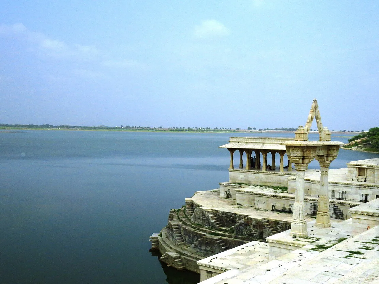
A large reservoir in Rajasthan’s Rajsamand district, Rajsamand Lake is also called Rajsamudra. Visitors come to see its scale and the historic work associated with Rana Raj Singh.

Kumbhalgarh

39 km away · Rajsamand district

Kumbhalgarh

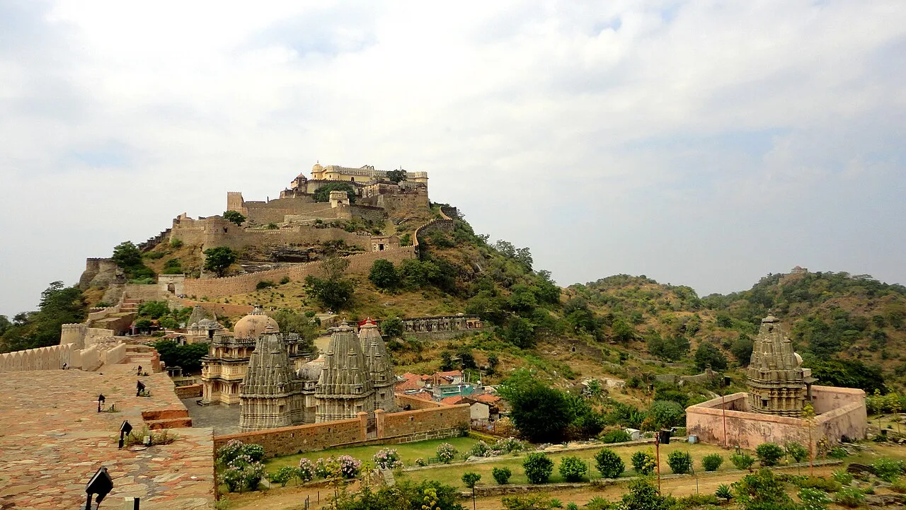
Kumbhalgarh, often called the Great Wall of India, is a 15th-century fortress in Rajasthan’s Aravalli Hills, visited for its fortifications, historical associations and UNESCO World Heritage status.

Nathdwara

43 km away · Rajsamand district

Nathdwara

Nathdwara is a city in Rajasthan known for its Shrinathji shrine and its place in the Vaishnavite Pushti Marg tradition, drawing devotees from Rajasthan, Gujarat and beyond.

Ranakpur Jain temple

50 km away · Pali district

Ranakpur Jain temple

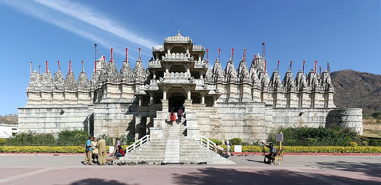
The Ranakpur Jain temple, also known as Chaturmukha Dharana Vihara, is a Śvētāmbara shrine devoted to Rishabhanatha. Jain pilgrims visit this important religious site and its group of associated temples.

Haldighati

51 km away · Rajsamand district

Haldighati

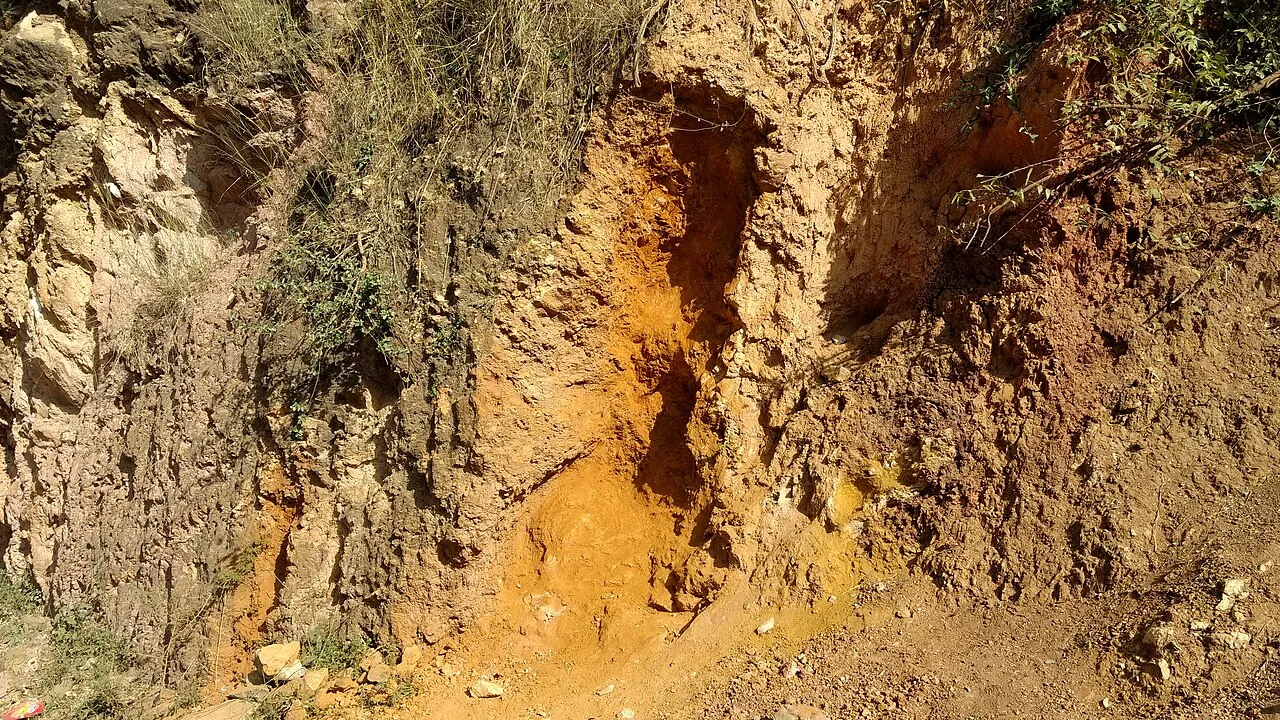
Haldighati is a historic route through Rajasthan’s Aravalli hills, connecting the Rajsamand and Udaipur districts. Visitors come to learn about its past and see the yellow soil associated with its name.

Akola (Dabu Print Village)

61 km away · Chittorgarh district

Akola (Dabu Print Village)

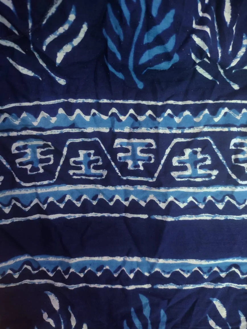
Akola, also called Chhipo ka Akola, is a village in Rajasthan’s Chittorgarh district. Visitors are drawn by its Dabu print, known across India.

Eklingji

66 km away · Udaipur district

Eklingji

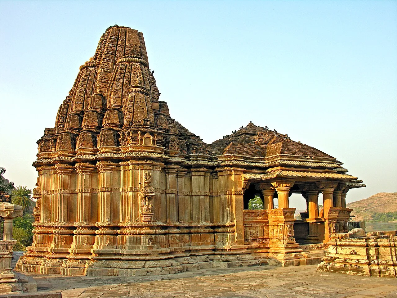
Eklingji is a Hindu temple complex in Kailashpuri, Rajasthan, associated with Mewar’s ruling deity. People visit to worship the god revered by the region’s royal house.

Saheliyon-ki-Bari

82 km away · Udaipur district

Saheliyon-ki-Bari

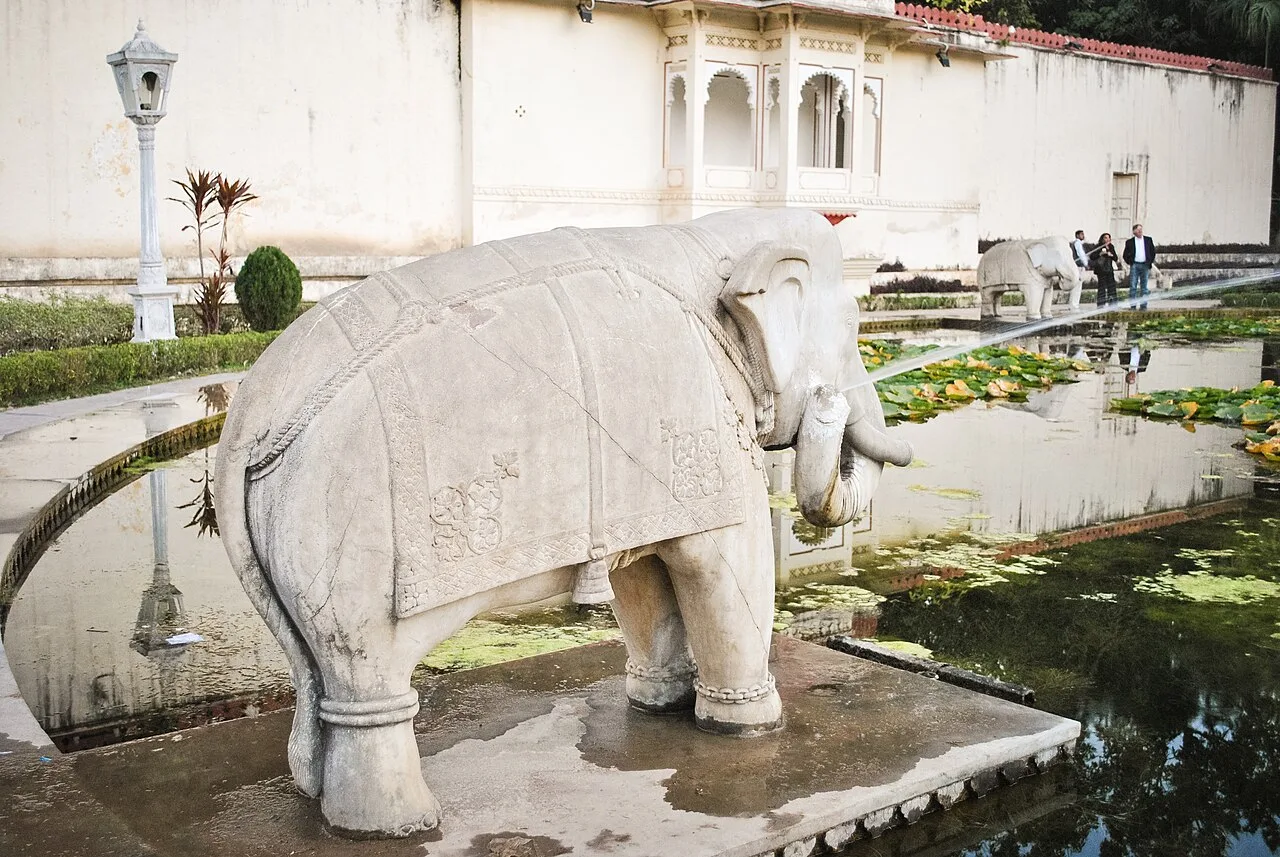
Saheliyon-ki-Bari is a garden in Udaipur, Rajasthan, where visitors can see fountains, a lotus pool and marble elephant figures, as well as a museum about Indian history.

Map

Amet on the map

  1. 1Rajsamand Lake
  2. 2Kumbhalgarh
  3. 3Nathdwara
  4. 4Ranakpur Jain temple
  5. 5Haldighati
  6. 6Akola (Dabu Print Village)
  7. 7Eklingji
  8. 8Saheliyon-ki-Bari

Rajasthan

Other cities to explore