Ghumoopedia — Explore, Discover, Experience
Sign in
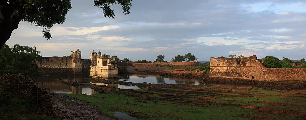
Mukundara Hills Tiger Reserve, near Rawatbhata

City guide · Rajasthan

Rawatbhata

Rawatbhata is a municipal and tehsil headquarters in Rajasthan’s Chittorgarh district, set beside the Chambal River. Its modern identity is closely connected to major energy infrastructure: the Rana Pratap Sagar Dam and its 172 MW hydroelectric station, the Rajasthan Atomic Power Station, a nuclear fuel complex and a heavy water plant.

Famous for

  • Rana Pratap Sagar Dam
  • Chambal hydroelectric power
  • Rajasthan Atomic Power Station
  • Nuclear fuel complex
  • Heavy water plant

Why Rawatbhata matters

Rawatbhata is a municipal and tehsil headquarters in Rajasthan’s Chittorgarh district, set beside the Chambal River. Its modern identity is closely connected to major energy infrastructure: the Rana Pratap Sagar Dam and its 172 MW hydroelectric station, the Rajasthan Atomic Power Station, a nuclear fuel complex and a heavy water plant. The town is sometimes described as Rajasthan’s nuclear city, reflecting the concentration of facilities that has shaped its employment, services and urban growth.

The dam and river landscape are the main draws for visitors, while Rawatbhata also serves the surrounding settlements as an administrative and market centre. Kota, about 50 km away, is the nearest major city, and Chittorgarh is the district headquarters. Visitors should bear in mind that nuclear installations are secure industrial sites, not ordinary tourist attractions; access to their grounds is controlled. The town is therefore best understood as a working energy centre with a distinctive setting on the Chambal, rather than as a destination known for historic monuments or shopping districts.
Famous for: crafts, trade & products

Rawatbhata is best known for energy production and engineering rather than for textiles, handicrafts or a signature local product. The Rana Pratap Sagar Dam harnesses the Chambal and supports a hydroelectric power station; nearby nuclear facilities include the Rajasthan Atomic Power Station, a nuclear fuel complex and a heavy water plant. Together, these institutions define the town’s industrial character and provide much of its public profile. Their operational areas are controlled, so visitors should not assume that plant tours or entry are available.

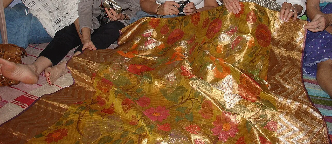
The town’s local shops and markets mainly serve residents and nearby villages, with everyday goods, food and household needs rather than a major specialist craft trade. Rawatbhata is not widely associated with a GI-tagged product or a distinctive shopping quarter. Travellers looking for regional textiles can explore Kota Doria, a recognised weave associated with the wider Kota region; Kota is the more established place to seek it out. In Rawatbhata, the dam landscape and the visible presence of energy infrastructure are more characteristic than any particular craft bazaar or locally branded product.

History

Rawatbhata developed in a rural Chambal-side landscape within the wider princely-state region of southeastern Rajasthan. During the colonial period, this part of Rajasthan was governed through princely administrations under British paramountcy; Rawatbhata itself was not a major colonial urban centre. Its present-day growth is chiefly a story of post-independence infrastructure and administration rather than of an old royal capital or a large historic trading town.

The construction of Rana Pratap Sagar Dam and its hydroelectric station brought major engineering works and new employment to the area. The establishment of the Rajasthan Atomic Power Station and associated nuclear facilities further expanded the town and drew workers, technical staff and public services. These projects transformed a small settlement into an important energy centre. Rawatbhata’s civic role grew alongside this development: its panchayat became a municipality in 1997, and the municipality now serves the original town and surrounding settlements. The town remains part of Chittorgarh district, with Kota functioning as its nearest major urban centre.

Food, festivals & culture

Rawatbhata’s food reflects everyday Rajasthani and wider north Indian cooking. Local meals may include dal, roti, seasonal vegetables and familiar dishes such as dal baati churma or gatte ki sabzi; sweets are commonly found around festival periods and at local food shops. These are regional favourites rather than products unique to the town. Hindi is widely used, while local speech draws on Rajasthani varieties, including influences from the Hadoti region.

Diwali in autumn and Holi in spring are widely observed, alongside Rajasthani festivals such as Teej and Gangaur, usually celebrated in the warmer months. Religious and family gatherings are important parts of community life. Neighbourhood temples and shrines host devotional observances, and the town’s different communities maintain their own places of worship. Folk and devotional singing are heard at celebrations; regional dance traditions such as Ghoomar may appear at cultural events. As a working town shaped by energy industries, Rawatbhata’s culture is also strongly connected to its mixed resident community and the practical rhythms of everyday life.

Visiting the city

The cooler months, roughly October to March, are generally the most comfortable time to visit. The Rana Pratap Sagar Dam and nearby Chambal scenery are the principal points of interest, but access to particular viewpoints or infrastructure may be restricted. The nuclear and fuel facilities are secure workplaces and should not be treated as open visitor attractions.

Kota Airport is the nearest airport geographically, though scheduled commercial connections may be limited; check current travel options before planning. Kota Junction is the main railway station for reaching the area, about 50 km away. From Kota, visitors can continue by road, using a taxi or bus where services are available. Local taxis and auto-rickshaws are useful for getting around Rawatbhata. Explore the central market and civic area for everyday town life, then head towards publicly accessible parts of the dam and river landscape, following local signs and access rules.

Trips from the city

Nearest places to visit from Rawatbhata

Our closest destination guides, by straight-line distance.

Mukundara Hills Tiger Reserve

27 km away · Kota district

Mukundara Hills Tiger Reserve

In southeastern Rajasthan, Mukundara Hills Tiger Reserve protects a landscape of forest, hills and wildlife habitat. Visitors can explore a reserve centred on a national park and several adjoining sanctuaries.

Kaithoon

45 km away · Kota district

Kaithoon

Kaithoon is a town and municipality in Rajasthan’s Kota district, known for its association with Kota Doria sarees, which are a reason for visitors’ interest.

Menal

46 km away · Bhilwara district

Menal

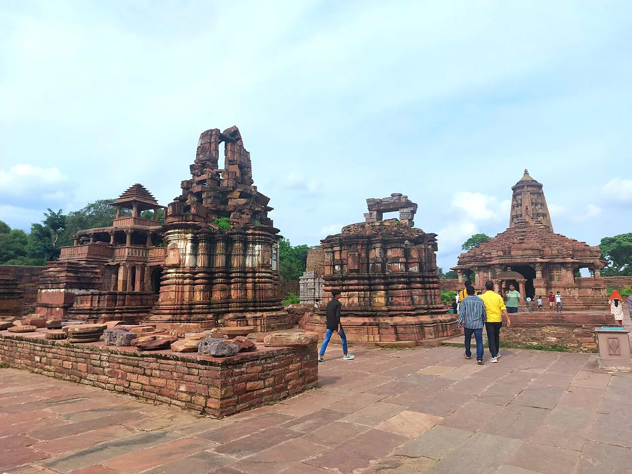
Menal is a village in Rajasthan linked with Begun Taluk and both Chittorgarh and Bhilwara districts; no particular attraction or reason for visiting is specified.

Bundi

57 km away · Bundi district

Bundi

Bundi is a city in Rajasthan’s Hadoti region, within Bundi district. Visitors come to explore the city and its setting in north-western India.

Raniji ki Baori

57 km away · Bundi district

Raniji ki Baori

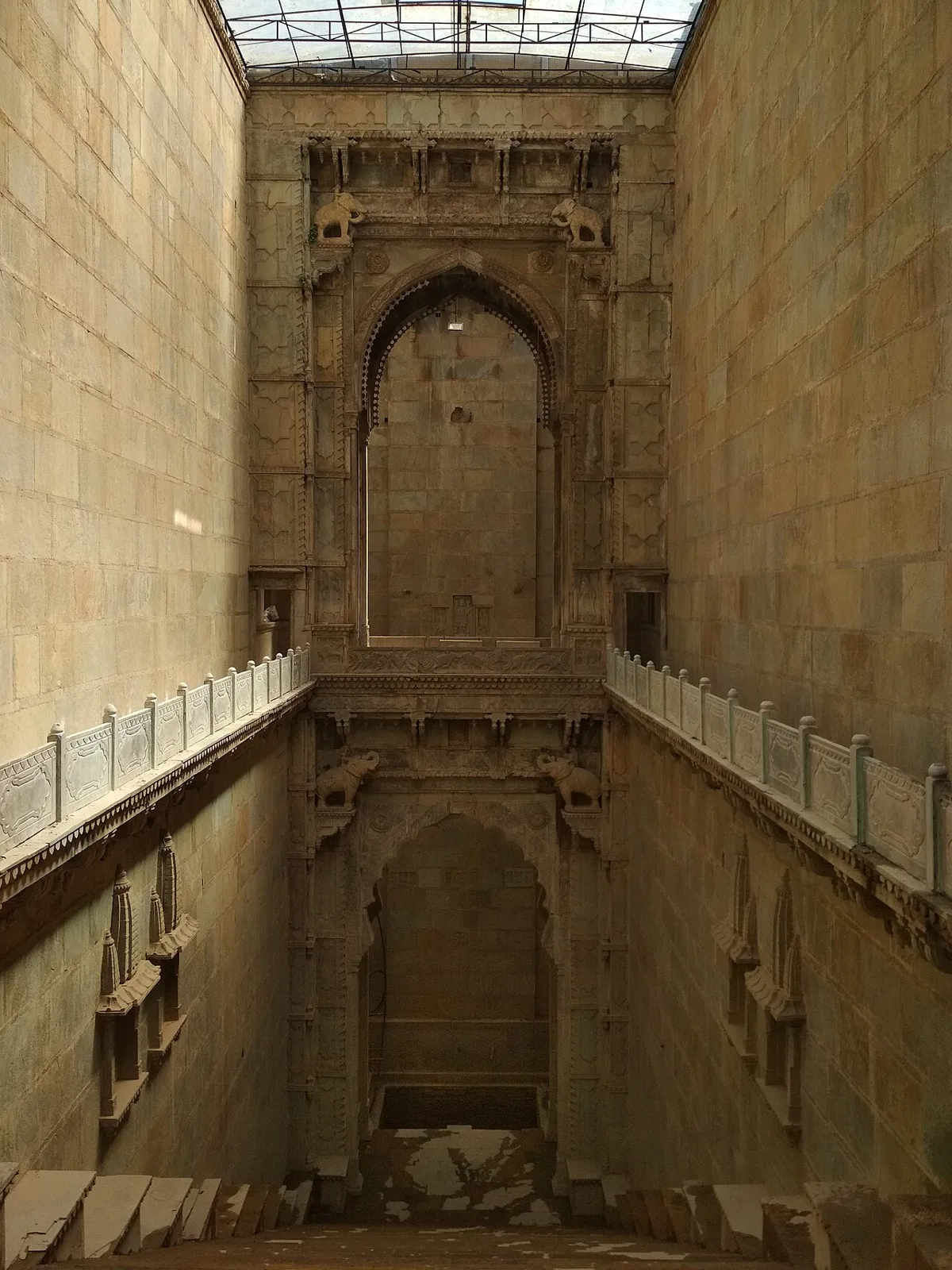
Raniji ki Baori is a multi-level stepwell in Bundi, Rajasthan, built by Rani Nathavati Solanki in 1699. Visitors come to see its deep stairwell, carved pillars and ornate arches.

Taragarh Fort, Bundi

58 km away · Bundi district

Taragarh Fort, Bundi

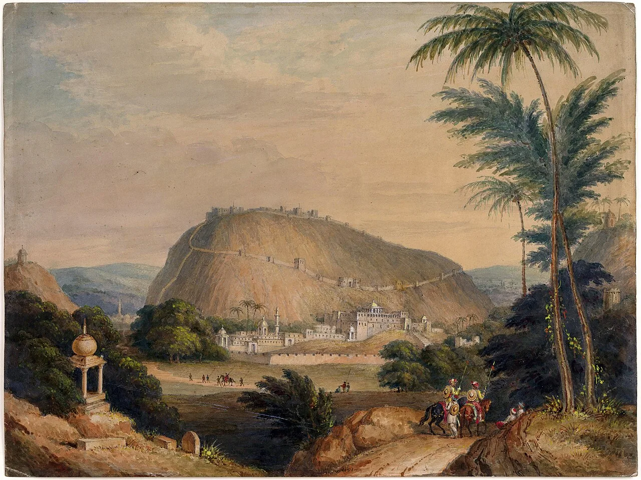
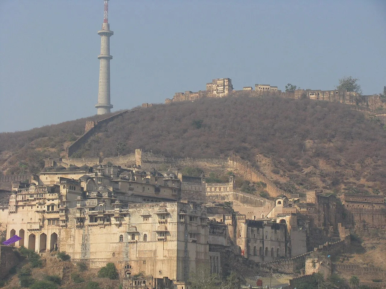
Taragarh Fort is a hilltop stronghold in Bundi, Rajasthan. Visitors come to see its Rajput architecture, elements influenced by Mughal design and passages made for wartime escape.

Gagron Fort

68 km away · Jhalawar district

Gagron Fort

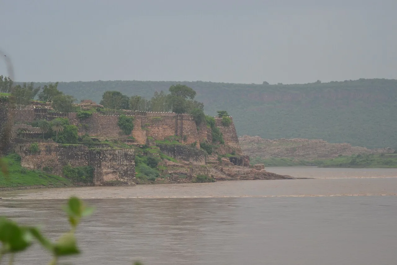
Gagron Fort is a historic stronghold in Rajasthan’s Hadoti region, known for its river defences and UNESCO recognition. Visitors come to explore its history and distinctive setting.

Chittor Fort

95 km away · Chittorgarh district

Chittor Fort

Chittor Fort, also called Chittod Fort, is among India’s largest forts and the former capital of Mewar. Visitors explore its historic palaces, temples, water bodies, memorials and towers.

Map

Rawatbhata on the map

  1. 1Mukundara Hills Tiger Reserve
  2. 2Kaithoon
  3. 3Menal
  4. 4Bundi
  5. 5Raniji ki Baori
  6. 6Taragarh Fort, Bundi
  7. 7Gagron Fort
  8. 8Chittor Fort

Rajasthan

Other cities to explore