Ghumoopedia — Explore, Discover, Experience
Sign in
Gagron Fort, near Sunel

City guide · Rajasthan

Sunel

Sunel is a small town in Jhalawar district, in Rajasthan’s south-east, close to the Madhya Pradesh border. Its setting is part of a transition zone between Rajasthan and the Malwa region, reflected in the area’s landscape and regional ties.

Famous for

  • Former Ahilya Nagri
  • Malwa–Rajasthan borderland
  • Ahu River surroundings
  • Black-cotton-soil plains
  • Jhalawar monsoon landscape

Why Sunel matters

Sunel is a small town in Jhalawar district, in Rajasthan’s south-east, close to the Madhya Pradesh border. Its setting is part of a transition zone between Rajasthan and the Malwa region, reflected in the area’s landscape and regional ties. The town was formerly known as Ahilya Nagri and is now best understood as a local centre rather than a major monument or resort destination.

Visitors may find Sunel appealing for a quieter look at rural life in this corner of Rajasthan. Fertile plains, dark cotton-growing soil and the nearby Ahu River shape the surroundings; the river is about three kilometres from town. Jhalawar district receives comparatively abundant monsoon rain for Rajasthan, lending the countryside a greener character in the wet season. Sunel also has historical interest because its administrative association shifted across the Rajasthan–Madhya Pradesh border before it became part of Rajasthan in 1956. It can serve as a stop for travellers exploring smaller settlements and landscapes around Jhalawar, though visitors should not expect a large concentration of visitor facilities or widely promoted attractions.
Famous for: crafts, trade & products

Sunel is not widely identified with a particular textile, handicraft, GI-tagged product or large-scale industry. It is better known for its agricultural setting: the surrounding fertile plain has rich black-cotton soil and receives water from local rivers. These features give the town a rural character, although specific local crops or signature products should not be assumed without checking with residents or local sellers.

The town’s shops and market area are primarily useful for everyday needs and local trade, rather than as a specialised shopping destination. Visitors looking for regional crafts, textiles or packaged food products may find a broader selection in larger towns in Jhalawar district or elsewhere in the region. For a sense of local commerce, browse the central shops and ask locally about seasonal produce or goods made nearby; availability can vary. Sunel’s strongest point of distinction is its position in a fertile, monsoon-watered border landscape, not a particular manufactured product.

History

Sunel’s history is tied to the changing political boundaries of south-eastern Rajasthan and the neighbouring Malwa region. The wider Jhalawar area developed as a princely state through an agreement involving the British, Kota State and Malwa interests. Sunel, once known as Ahilya Nagri, lay in a border setting where administrative links did not always match the nearest centres of everyday life.

Before its incorporation into Rajasthan, Sunel was associated with territory around Mandsaur and the Bhanpura tehsil, both at some distance. On 1 November 1956, it was merged with Rajasthan as state boundaries were reorganised. This change placed the town within Jhalawar district and the modern state administration. Since then, Sunel has continued mainly as a local service and market centre for surrounding settlements. Its history is therefore less marked by a famous monument or major court than by its position at the meeting point of regional jurisdictions and cultural influences.

Food, festivals & culture

Sunel shares food traditions with south-eastern Rajasthan and neighbouring Malwa. Everyday meals commonly draw on wheat, pulses and seasonal vegetables; familiar dishes across the wider region include dal-baati-churma and savoury snacks, though these are not exclusive to Sunel. Local sweets and festival foods are usually easiest to find through town shops and household celebrations rather than a recognised food district.

Hindi is widely used, alongside regional speech influenced by Rajasthani and Malwi. Hindu festivals such as Holi, Diwali, Navratri, Teej and Gangaur are observed in their usual seasonal periods, while Muslim residents mark Eid. Community gatherings may include devotional singing and regional folk music; the town’s cultural life is centred on family, neighbourhood and religious occasions rather than large visitor festivals. Local temples and mosques serve as places of worship, but Sunel is not known for a major pilgrimage site. Visitors should dress respectfully and ask before photographing worshippers or ceremonies.

Visiting the city

September to March is generally the most comfortable period to visit. The monsoon can make the surrounding countryside notably green, while summer is very hot. Kota Airport is the nearest commonly cited airport, though flight availability may be limited; check current services before planning. Indore is another airport option. Jhalawar City railway station is the main rail access point for the area, with onward travel to Sunel by road.

Auto-rickshaws and local road transport may be available in town; for nearby rural areas, arrange a vehicle locally. The central market area is a practical place to begin exploring daily life, while the outskirts and the Ahu River vicinity offer a sense of the surrounding landscape. Sunel has few established tourist districts, so confirm transport and accommodation arrangements in advance.

Trips from the city

Nearest places to visit from Sunel

Our closest destination guides, by straight-line distance.

Gagron Fort

37 km away · Jhalawar district

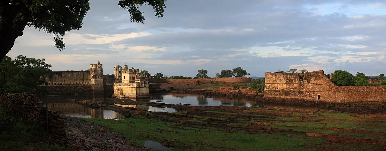
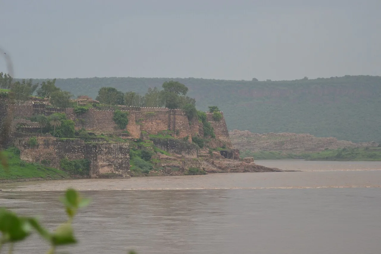
Gagron Fort

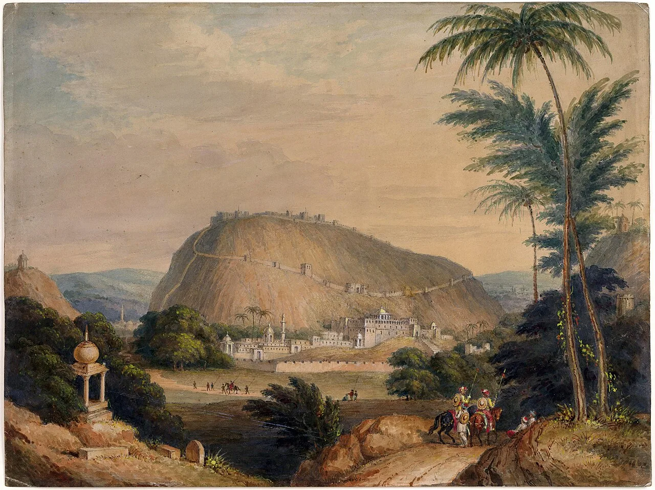
Gagron Fort is a historic stronghold in Rajasthan’s Hadoti region, known for its river defences and UNESCO recognition. Visitors come to explore its history and distinctive setting.

Mukundara Hills Tiger Reserve

56 km away · Kota district

Mukundara Hills Tiger Reserve

In southeastern Rajasthan, Mukundara Hills Tiger Reserve protects a landscape of forest, hills and wildlife habitat. Visitors can explore a reserve centred on a national park and several adjoining sanctuaries.

Kaithoon

86 km away · Kota district

Kaithoon

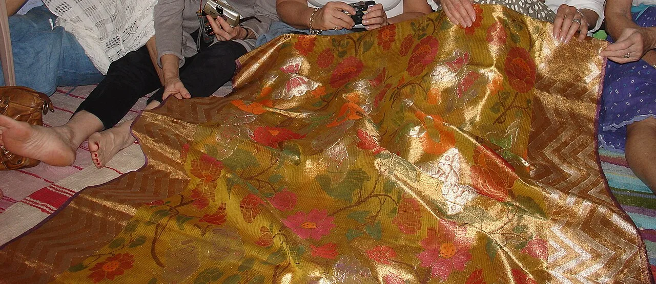
Kaithoon is a town and municipality in Rajasthan’s Kota district, known for its association with Kota Doria sarees, which are a reason for visitors’ interest.

Menal

113 km away · Bhilwara district

Menal

Menal is a village in Rajasthan linked with Begun Taluk and both Chittorgarh and Bhilwara districts; no particular attraction or reason for visiting is specified.

Bundi

123 km away · Bundi district

Bundi

Bundi is a city in Rajasthan’s Hadoti region, within Bundi district. Visitors come to explore the city and its setting in north-western India.

Raniji ki Baori

123 km away · Bundi district

Raniji ki Baori

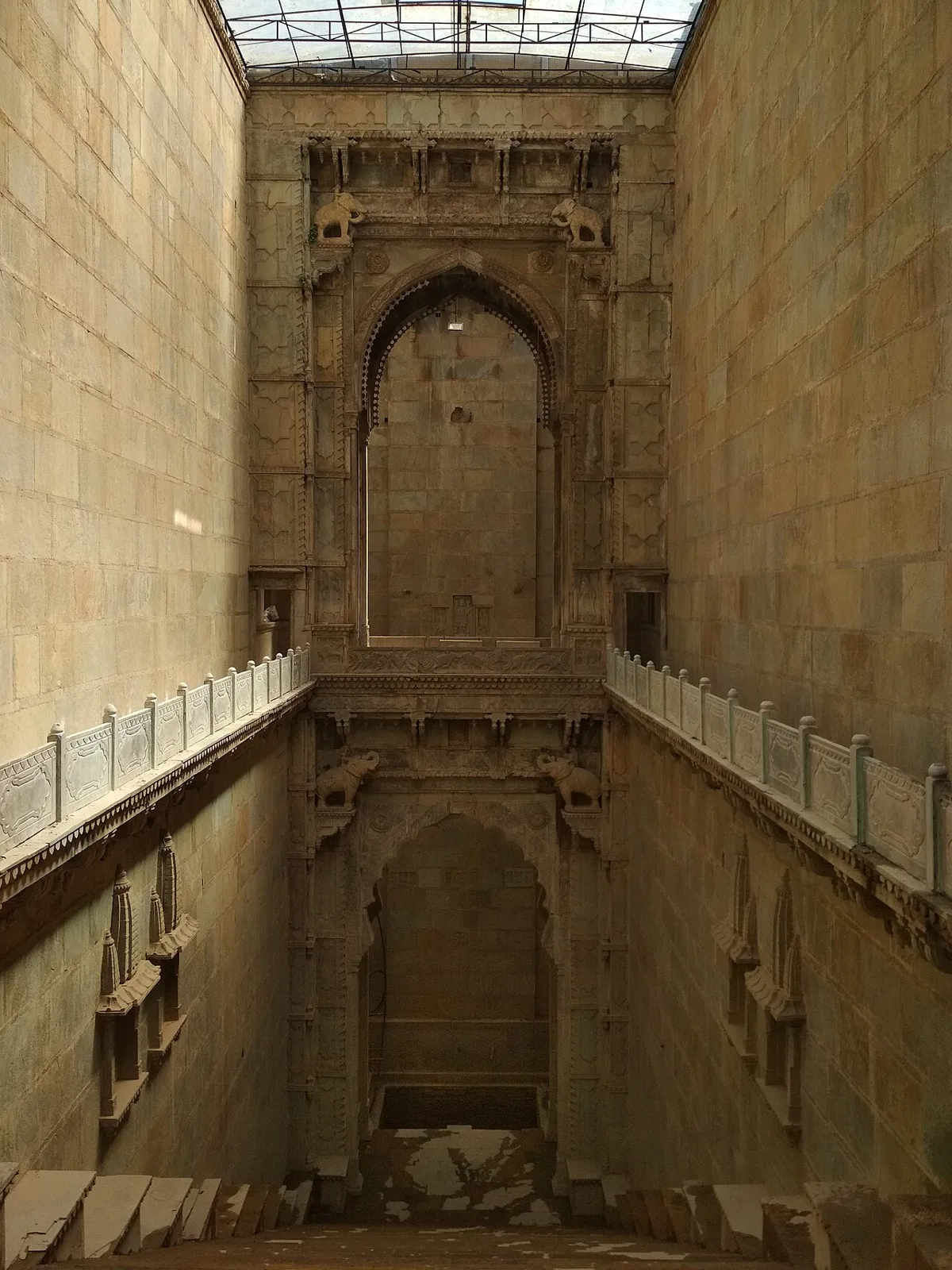
Raniji ki Baori is a multi-level stepwell in Bundi, Rajasthan, built by Rani Nathavati Solanki in 1699. Visitors come to see its deep stairwell, carved pillars and ornate arches.

Taragarh Fort, Bundi

124 km away · Bundi district

Taragarh Fort, Bundi

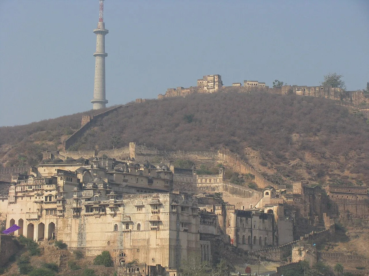
Taragarh Fort is a hilltop stronghold in Bundi, Rajasthan. Visitors come to see its Rajput architecture, elements influenced by Mughal design and passages made for wartime escape.

Chittor Fort

144 km away · Chittorgarh district

Chittor Fort

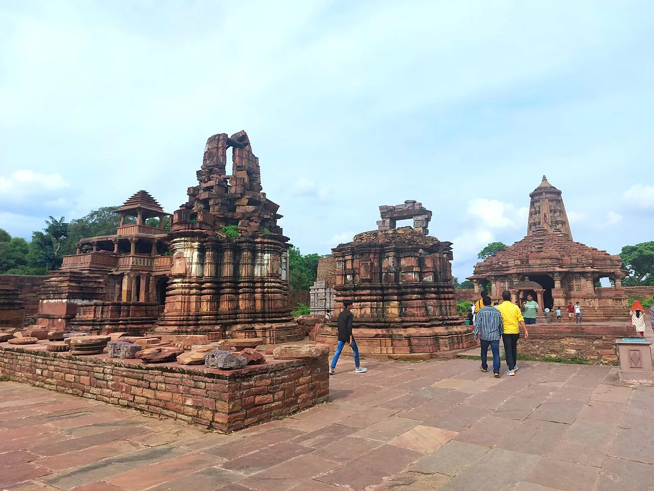
Chittor Fort, also called Chittod Fort, is among India’s largest forts and the former capital of Mewar. Visitors explore its historic palaces, temples, water bodies, memorials and towers.

Map

Sunel on the map

  1. 1Gagron Fort
  2. 2Mukundara Hills Tiger Reserve
  3. 3Kaithoon
  4. 4Menal
  5. 5Bundi
  6. 6Raniji ki Baori
  7. 7Taragarh Fort, Bundi
  8. 8Chittor Fort

Rajasthan

Other cities to explore