Ghumoopedia — Explore, Discover, Experience
Sign in

City guide · Rajasthan

Ahor

Ahore, also written Ahor, is a small town in Jalore district whose importance comes from its role as a local administrative centre and a road junction. It lies east of Jalore on National Highway 325, linking routes towards Sanderao and Jodhpur.

Famous for

  • Historic Champawat thikana
  • NH 325 road junction
  • Ahore tehsil headquarters
  • Rural Marwar market town
Plan a tripHotels near Ahor

Why Ahor matters

Ahore, also written Ahor, is a small town in Jalore district whose importance comes from its role as a local administrative centre and a road junction. It lies east of Jalore on National Highway 325, linking routes towards Sanderao and Jodhpur. The town serves as the headquarters of Ahore tehsil and connects surrounding villages with district services, shops and transport. Its everyday character is shaped by this rural hinterland as much as by passing traffic.

For visitors, Ahore offers a quieter view of Marwar than the region’s better-known destinations: local market streets, roadside activity and a glimpse of life in a tehsil town. Its historical interest centres on its former status as a Rathore Champawat estate. Travellers can also use Ahore as a base or stop on journeys between Jalore and settlements along the Sanderao and Jodhpur routes. The wider district’s forts, temples and dry western Rajasthan landscape provide additional reasons to explore beyond the town itself.
Famous for: crafts, trade & products

Ahore is best understood as a service and market town rather than a specialist destination for textiles, a signature craft or a GI-tagged product. Its shops cater chiefly to everyday needs in town and the surrounding villages. Local commerce reflects the rhythms of a rural tehsil, with general goods and farm-related trade forming part of the area’s practical economy. The highway junction also brings travellers and transport activity into the town.

Visitors looking for shopping can browse the central market streets for household goods, clothing, snacks and locally used items; there is no single craft quarter or product range that defines Ahore. For a broader sense of regional commerce, Jalore is the district’s main urban centre and offers a wider choice of shops and services. Ahore’s strongest point of interest for shoppers is therefore its everyday market life: a useful place to see how a Marwar town serves nearby villages, rather than a stop built around a major handicraft or textile industry.

History

Ahore’s historical identity is tied to the Rathore rulers of Marwar. It became a thikana, or estate, associated with a branch of the Champawat Rajputs and comprising ten villages. Thakur Jagannath Singh is recorded as its first thakur; Maharaja Ajit Singh of Marwar granted him the Ahore estate in 1706, following the Battle of Dunada. The estate formed part of the wider network of local holdings through which Marwar was governed.

During the colonial period, Ahore remained within the princely state of Marwar, under British paramountcy rather than as a directly administered British town. Its later development has been shaped less by large-scale urban growth than by its role as a tehsil headquarters and a road connection between Jalore, Sanderao and Jodhpur. Today, administrative services, local trade and links to surrounding villages underpin its place in Jalore district.

Food, festivals & culture

Daily life in Ahore reflects the wider Marwari culture of western Rajasthan, with family, community gatherings and religious observances central to the year. Hindi and Marwari are commonly used, with language shifting naturally between formal settings and everyday conversation. Meals across the region often include bajra roti, dal baati churma, gatte ki sabzi and seasonal ker sangri, alongside sweets such as ghevar or malpua on festive occasions. These are regional favourites rather than dishes unique to Ahore.

Diwali and Holi bring familiar rounds of worship, visits and celebration; Teej and Gangaur are observed during the monsoon season, while Navratri and Dussehra mark the autumn festive period. Local temples and shrines provide places for prayer and community observances. Devotional singing and bhajans are part of religious gatherings, while folk music and dance traditions associated with Marwar are heard especially at celebrations. The town’s cultural life is closely connected to that of its surrounding villages.

Visiting the city

The cooler months, roughly October to March, are generally the most comfortable time to visit; summers can be very hot. Jodhpur Airport is the nearest major airport, while Jalore Railway Station is the main rail connection for reaching Ahore. The town is about 18 km east of Jalore and sits on National Highway 325, making road travel the most direct way to arrive. Buses and hired vehicles connect it with Jalore and nearby settlements; local trips can be made by taxi or other locally available transport.

Explore the central market streets and the highway junction for a sense of everyday town life. Ahore also works as a convenient stop for visiting villages in the tehsil or continuing towards Jalore and Sanderao. For a wider outing, use Jalore as a base for exploring the district’s historical and religious sites.

Trips from the city

Nearest places to visit from Ahor

Our closest destination guides, by straight-line distance.

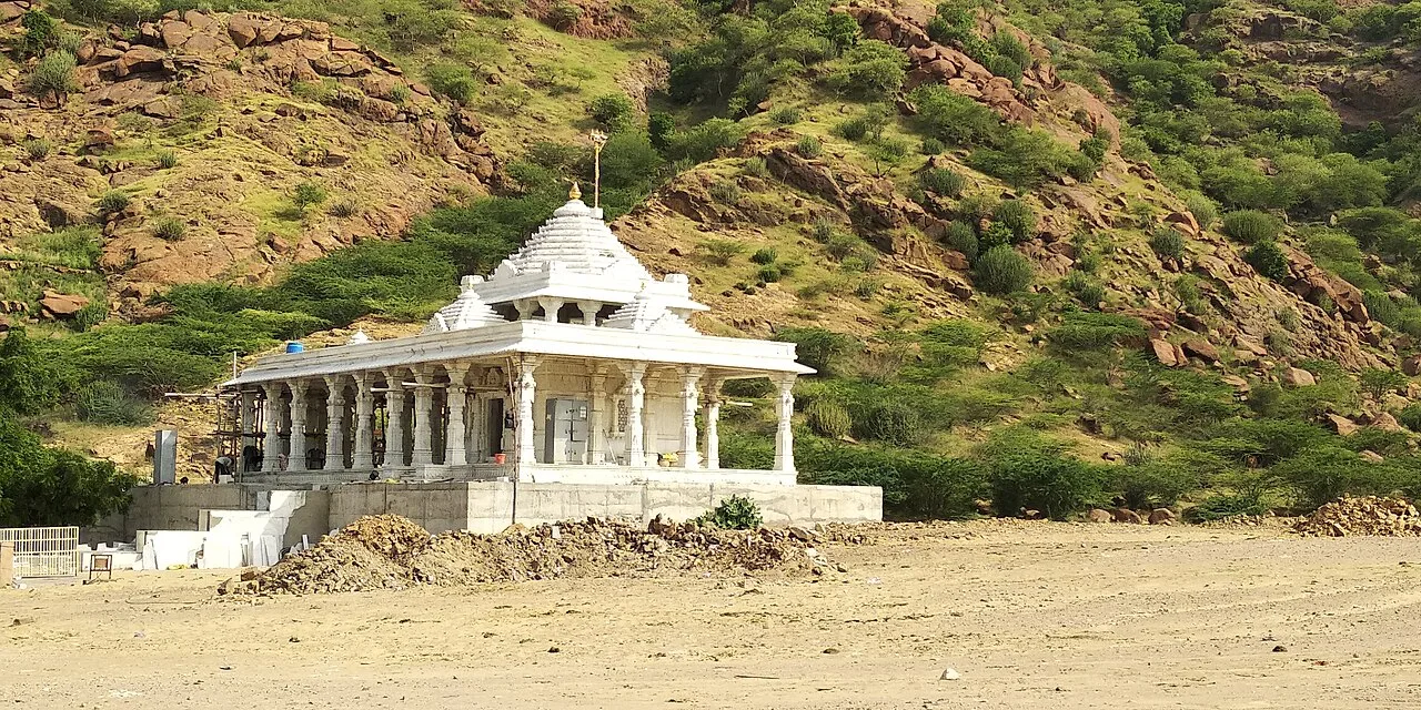
Ranakpur Jain temple

75 km away · Pali district

Ranakpur Jain temple

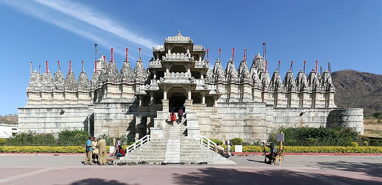
The Ranakpur Jain temple, also known as Chaturmukha Dharana Vihara, is a Śvētāmbara shrine devoted to Rishabhanatha. Jain pilgrims visit this important religious site and its group of associated temples.

Guru Shikhar

80 km away · Sirohi district

Guru Shikhar

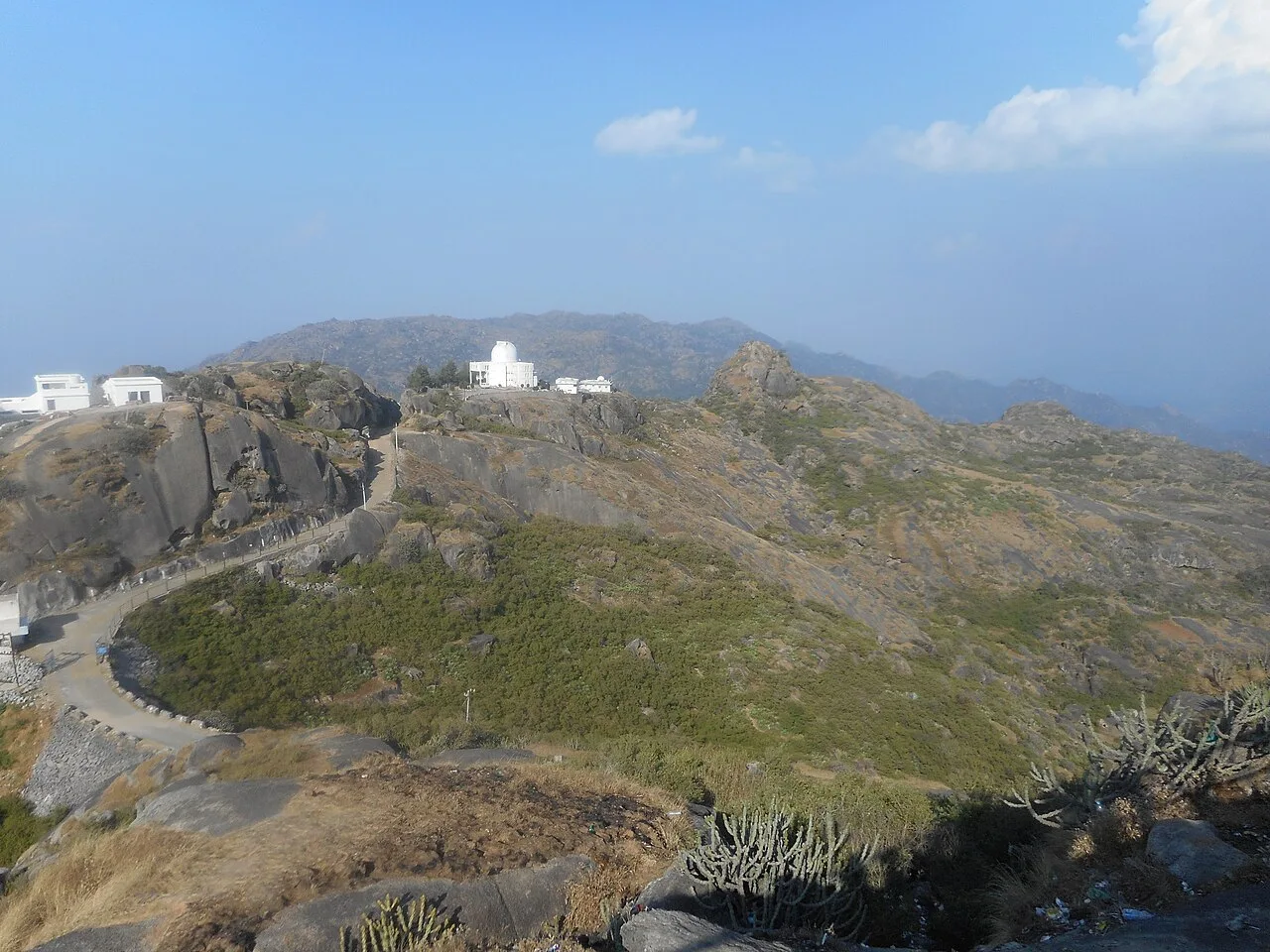
Guru Shikhar is a 1,722-metre summit in Rajasthan’s Arbuda Mountains, valued as the Aravalli Range’s highest point and visited for its hilltop shrines and nearby astronomical observatory.

Pachpadra

80 km away · Barmer district

Pachpadra

Pachpadra is a town in Rajasthan’s Balotra district, near Balotra city. Visitors may see its salt-gathering lake, while the locality is also known for a large refinery and petrochemical complex.

Kumbhalgarh

84 km away · Rajsamand district

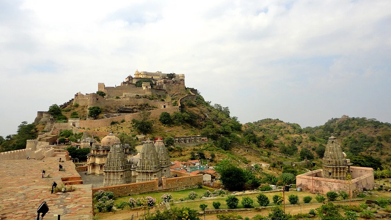
Kumbhalgarh

Kumbhalgarh, often called the Great Wall of India, is a 15th-century fortress in Rajasthan’s Aravalli Hills, visited for its fortifications, historical associations and UNESCO World Heritage status.

Dilwara Temples

85 km away · Sirohi district

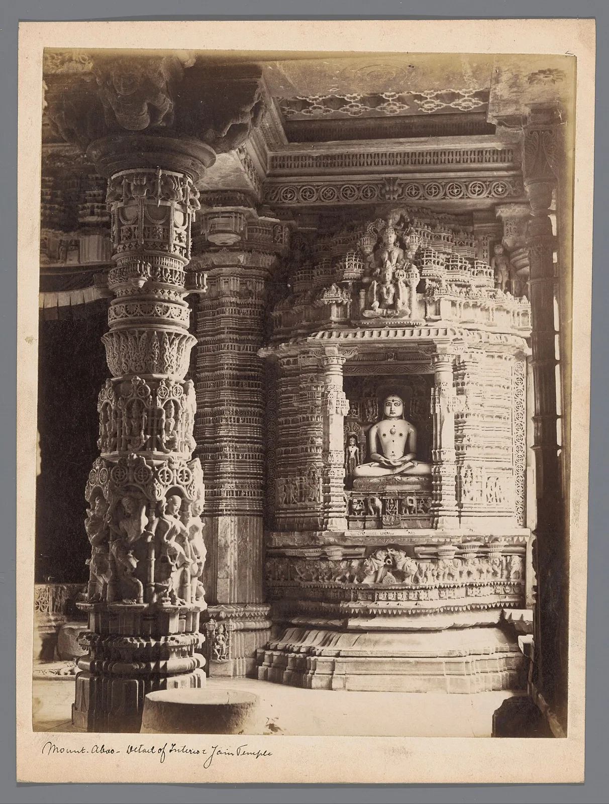
Dilwara Temples

Dilwara Temples are a Śvetāmbara Jain complex near Mount Abu, Rajasthan, visited for pilgrimage and admired for their carved marble architecture.

Nakki Lake

86 km away · Sirohi district

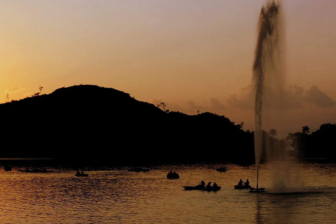
Nakki Lake

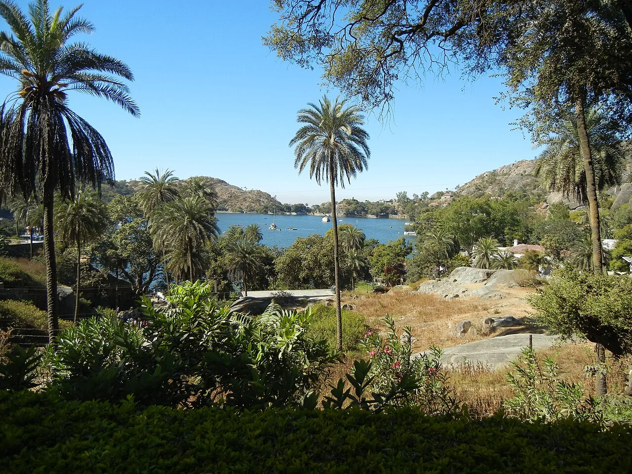
Nakki Lake is a lake at Mount Abu, a hill station in Rajasthan’s Sirohi district and the Aravalli range. Visitors come to see it while spending time at Mount Abu.

Mount Abu

87 km away · Sirohi district

Mount Abu

In Rajasthan’s Sirohi district, Mount Abu, also known as Abu Raj, is a hill station on a rocky plateau. Visitors come for its water features, evergreen forests and Hindu and Jain temples.

89 km away · Jodhpur district

Salawas

Salawas is a village 22 km from Jodhpur, known for durries, or rugs, produced by local craftspeople. Visitors are drawn by its association with this traditional craft.

Map

Ahor on the map

  1. 1Ranakpur Jain temple
  2. 2Guru Shikhar
  3. 3Pachpadra
  4. 4Kumbhalgarh
  5. 5Dilwara Temples
  6. 6Nakki Lake
  7. 7Mount Abu
  8. 8Salawas

Rajasthan

Other cities to explore