Ghumoopedia — Explore, Discover, Experience
Sign in
Nawalgarh, near Neem Ka Thana

City guide · Rajasthan

Neem Ka Thana

Neem Ka Thana is a regional town in Rajasthan’s Shekhawati area, about 73 kilometres from Sikar. Its importance comes partly from its position among towns such as Udaipurwati, Khandela, Sri Madhopur, Khetri, Kotputli and Narnaul.

Famous for

  • Shekhawati-region setting
  • Neem Ka Thana railway station
  • Ganeshwar archaeological site nearby
  • Routes to Khetri and Narnaul

Why Neem Ka Thana matters

Neem Ka Thana is a regional town in Rajasthan’s Shekhawati area, about 73 kilometres from Sikar. Its importance comes partly from its position among towns such as Udaipurwati, Khandela, Sri Madhopur, Khetri, Kotputli and Narnaul. Roads and railways connect it with other centres in the region, making it useful for local travel and everyday commerce as well as a practical stop on longer journeys.

Visitors may use the town as a base for exploring the wider Shekhawati landscape, known across the region for historic settlements and painted havelis. The archaeological site at Ganeshwar and the copper-mining area around Khetri are among the nearby places of interest, though neither should be mistaken for an attraction within the town itself. Neem Ka Thana is not chiefly a resort or a major craft-shopping destination; its appeal is its regional setting, transport links and access to smaller towns and sites across northeastern Rajasthan. Jaipur is about 119 kilometres away, while Delhi is about 241 kilometres away.
Famous for: crafts, trade & products

Neem Ka Thana is best understood as a local market and service centre rather than a city with a widely recognised signature textile, handicraft or GI-tagged product. Its shops and bazaars serve residents and travellers with everyday goods, clothing, food and household necessities. Visitors looking for a particular handmade item should ask locally about availability rather than assume that a product is made in the town.

The wider Shekhawati region is associated with painted havelis and traditional Rajasthani decorative art, but these are regional attractions, not a craft that can be confidently attributed to Neem Ka Thana alone. For historic buildings and regional heritage, travellers can plan visits to established towns in Shekhawati; for archaeological interest, Ganeshwar is nearby. The Khetri area is associated with copper mining, but this is a neighbouring area’s industry, not a claim about Neem Ka Thana’s own manufacturing. The town’s main commercial areas are its central bazaar and shops along the principal streets, where visitors can browse local provisions and eatery offerings.

History

Neem Ka Thana’s history is closely connected with that of the Shekhawati region, a part of northeastern Rajasthan shaped by Rajput chiefs, including the Shekhawats, under the broader influence of the Jaipur state. The region’s historic towns developed through local administration, agriculture and trade. Its painted havelis are especially associated with merchant communities and settlements elsewhere in Shekhawati; they should not be assumed to be a defining feature of Neem Ka Thana itself.

During the colonial period, the area became part of the political and transport networks of princely Rajasthan. Roads and railway connections later strengthened Neem Ka Thana’s role as a town serving nearby settlements. In modern times, it has continued to function as a regional centre linked to Sikar and neighbouring towns. Its contemporary significance rests more on transport, commerce and access to surrounding places than on a single celebrated monument or a documented founding event. The nearby archaeological remains at Ganeshwar point to much older human activity in the wider area, distinct from the town’s later growth.

Food, festivals & culture

Everyday food in Neem Ka Thana reflects the wider Rajasthani kitchen. Visitors may find dal baati churma, gatte-based dishes, seasonal preparations such as ker sangri, and familiar snacks and sweets in local eateries and shops. Ghewar is associated with festive occasions in Rajasthan, though availability varies by season and by shop. The town does not have a single food item that is uniquely identified with it.

Hindi is widely useful for visitors, alongside regional Rajasthani speech and forms of the Shekhawati dialect. Holi, Diwali, Teej and Gangaur are observed as part of the local and regional calendar; their celebrations generally follow the Hindu lunar calendar, so dates change each year. Folk music and dance traditions are part of the broader cultural life of Rajasthan, with performances more likely around community celebrations than as a regular tourist programme. Local places of worship serve residents and festival gatherings; visitors should dress respectfully and follow any posted customs.

Visiting the city

The cooler months, roughly October to March, are generally the most comfortable time to visit. The nearest major airport is Jaipur International Airport; Jaipur is about 119 kilometres away. Neem Ka Thana railway station serves the town, and road connections link it with Sikar and other nearby centres. Check current transport arrangements before setting out, as services and connections can change.

Within town, visitors can explore the central bazaar and main streets on foot for short distances, or use locally available auto-rickshaws and taxis for farther trips. The station area is useful for arrivals and onward travel. Neem Ka Thana can also serve as a starting point for excursions towards Ganeshwar, Khetri and other towns in the region; arrange local transport in advance for smaller sites. Summers can be very hot, so plan outdoor visits for cooler parts of the day.

Trips from the city

Nearest places to visit from Neem Ka Thana

Our closest destination guides, by straight-line distance.

Nawalgarh

52 km away · Jhunjhunu district

Nawalgarh

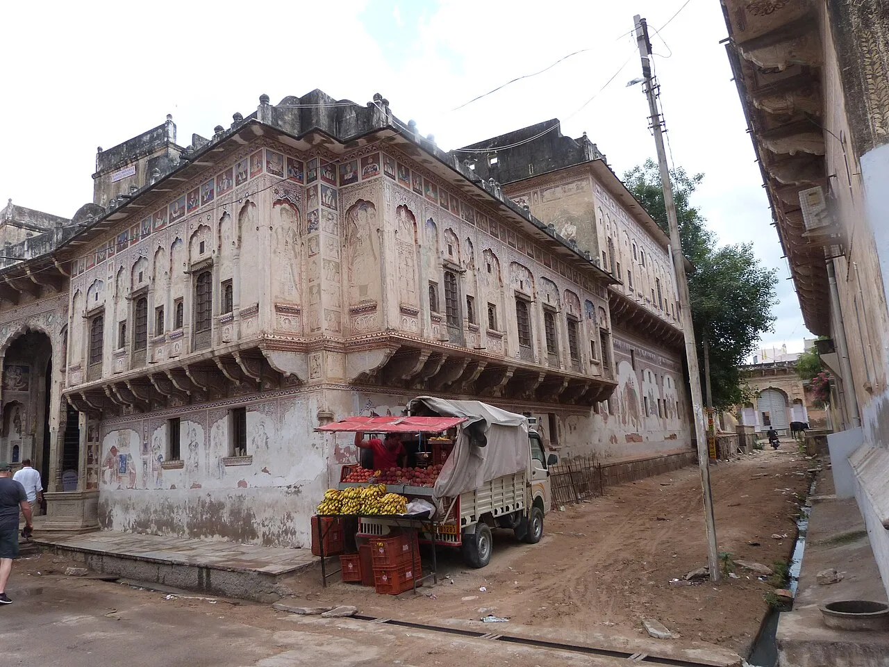
Nawalgarh is a heritage city in Rajasthan’s Shekhawati region, within Jhunjhunu district. Visitors are drawn by its heritage character, and it is 30.5 km from Sikar and 39.2 km from Jhunjhunu.

Khatu Shyam Temple

56 km away · Sikar district

Khatu Shyam Temple

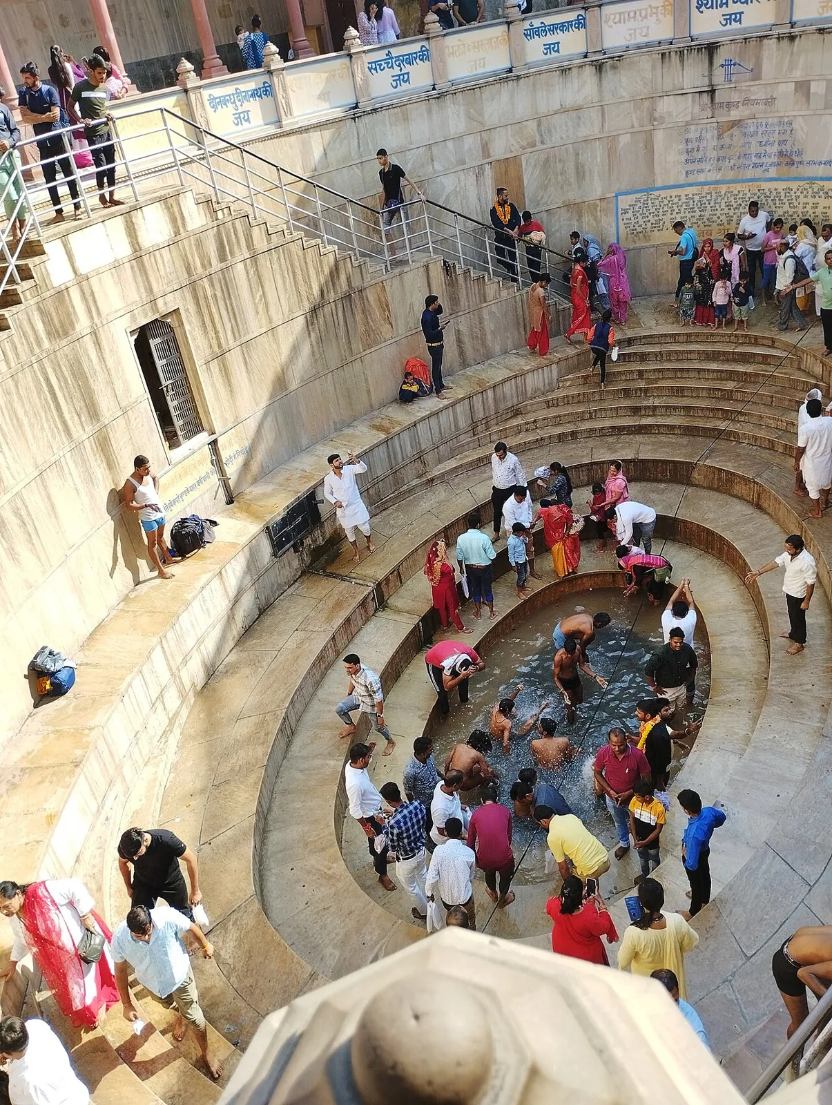
In KhatuShyamJi town, Rajasthan, this Hindu shrine honours Khatu Shyam, believed to be a divine manifestation of Barbareek from the Mahabharat. Pilgrims visit throughout the year, especially for the Falgun Mela.

Samode

59 km away · Jaipur district

Samode

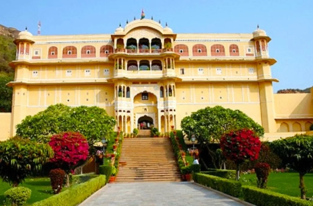
Samode is a village in Rajasthan’s Aravalli hills, north-west of Jaipur. Visitors come for its palace, haveli and garden, historic properties now operated as heritage hotels.

Mandawa

71 km away · Jhunjhunu district

Mandawa

Mandawa is a town in Rajasthan’s Jhunjhunu district, within the Shekhawati region. Travellers visit it as part of journeys through the region and nearby Jhunjhunu.

Siliserh Lake

77 km away · Alwar district

Siliserh Lake

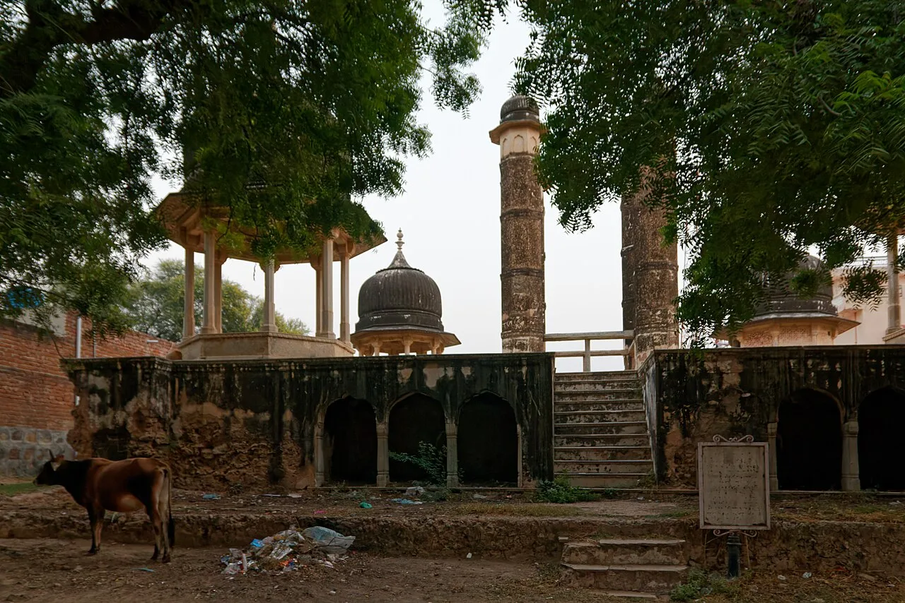
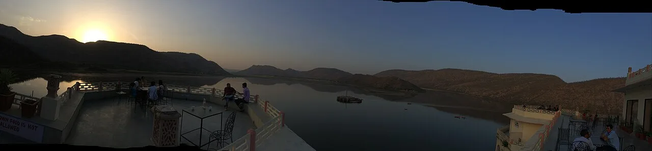
Siliserh Lake is an artificial lake in Rajasthan, southwest of Alwar, with wooded banks and cenotaphs along its embankment that visitors come to see.

Sariska Tiger Reserve

79 km away · Alwar district

Sariska Tiger Reserve

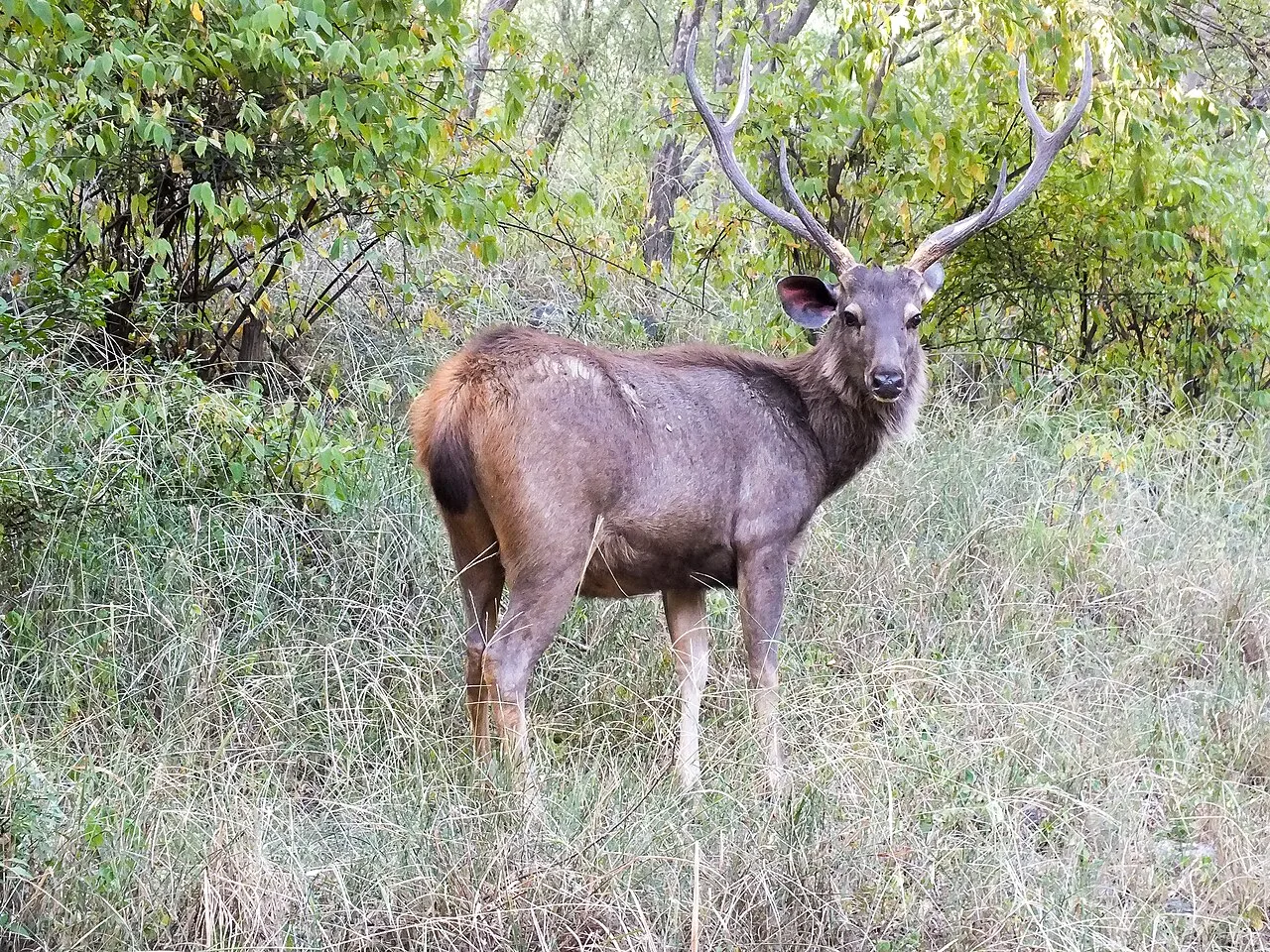
Sariska Tiger Reserve, in Rajasthan’s Alwar district, is a protected area with tiger-reserve status and varied forest, grassland and rocky habitats. Visitors come to experience its wildlife and conservation setting.

Amber Fort

84 km away · Jaipur district

Amber Fort

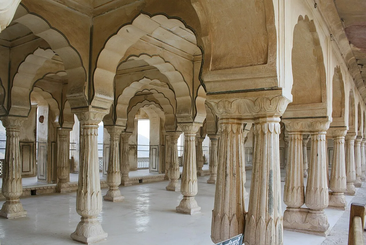
Amber Fort, also known as Amer Palace, is a hilltop fort in Amer, Rajasthan. Visitors explore its Rajput and Mughal-influenced design, palace halls and setting above Maota Lake.

Jaigarh Fort

84 km away · Jaipur district

Jaigarh Fort

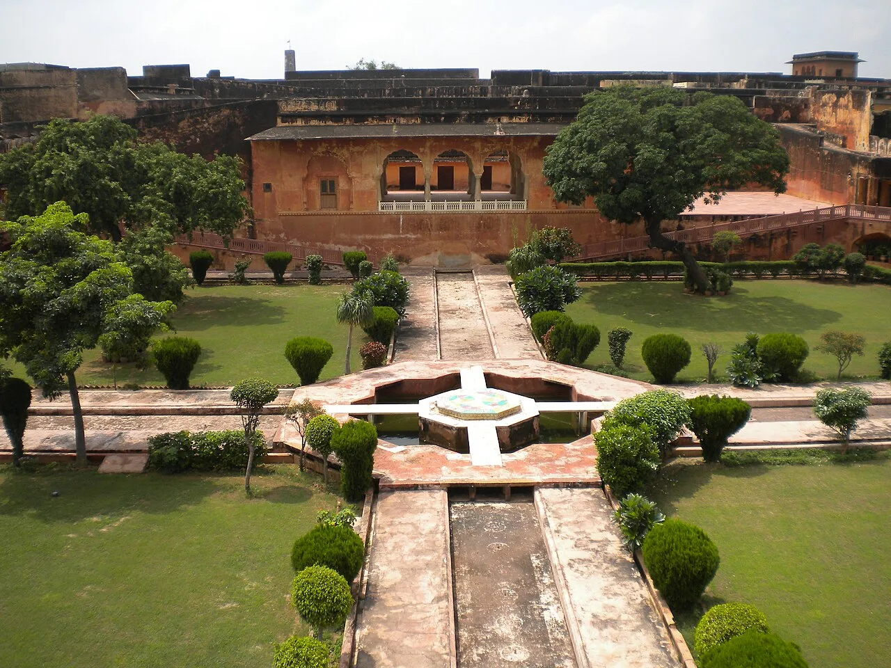
Near Amer in Rajasthan, Jaigarh Fort occupies a hilltop above Amer Fort and Maota Lake. Visitors come to see its historic fortifications, its connection to Amer Fort and the Jaivana cannon.

Map

Neem Ka Thana on the map

  1. 1Nawalgarh
  2. 2Khatu Shyam Temple
  3. 3Samode
  4. 4Mandawa
  5. 5Siliserh Lake
  6. 6Sariska Tiger Reserve
  7. 7Amber Fort
  8. 8Jaigarh Fort

Rajasthan

Other cities to explore