Ghumoopedia — Explore, Discover, Experience
Sign in
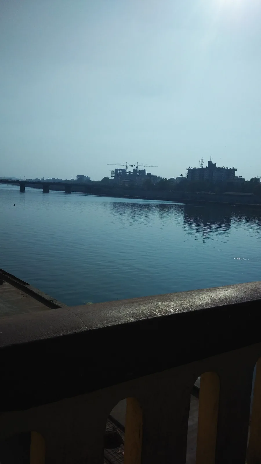
Dhebar Lake, near Dariawad

City guide · Rajasthan

Dariawad

Dhariawad, also spelled Dhariyawad, is a small town in Pratapgarh district in southern Rajasthan. Its importance comes less from big-city attractions than from its position among the wooded hills and villages of the former Mewar region.

Famous for

  • Sita Mata Wildlife Sanctuary
  • Mewar-era Dhariawad heritage
  • Southern Rajasthan tribal culture
  • Rural market-town life

Why Dariawad matters

Dhariawad, also spelled Dhariyawad, is a small town in Pratapgarh district in southern Rajasthan. Its importance comes less from big-city attractions than from its position among the wooded hills and villages of the former Mewar region. The town serves as a local centre for trade and everyday services, and offers a starting point for exploring the surrounding countryside and Sita Mata Wildlife Sanctuary, known for its forested landscape and wildlife.

Visitors come for a quieter view of Rajasthan, away from the state’s busiest tourist circuits. The area’s Mewar history and the traditions of nearby rural and tribal communities add to its interest. Dhariawad is best approached as a regional town rather than a destination built around museums, shopping districts or large visitor facilities. A visit can combine a look at its historic character and local bazaar with time in the surrounding landscape; access to natural areas and facilities may vary by season, so planning locally is useful.
Famous for: crafts, trade & products

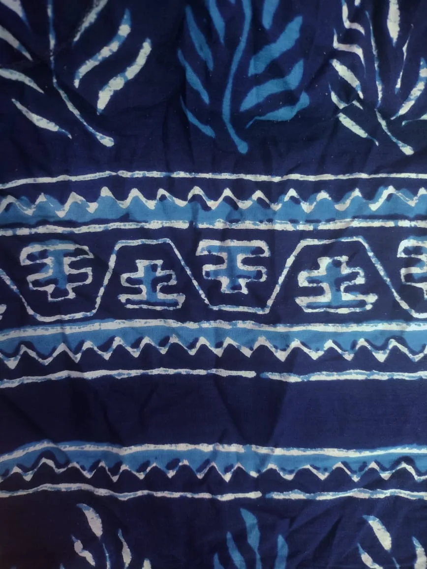
Dhariawad is not widely associated with a nationally recognised textile, saree, GI-tagged product or specialised craft. Its role is primarily that of a local market town, serving nearby villages with everyday goods and services. The bazaar is the most practical place to see this side of town: visitors may find groceries, household necessities and seasonal produce, but should not expect a large dedicated handicrafts or souvenir market.

The wider region has a strong rural and tribal presence, and local work and trade reflect that setting. Traditional skills and small-scale products may be found through local sellers, though availability is informal and changes with the season. There is no well-known product district or institution that can be recommended as a guaranteed source for crafts. For visitors interested in the area’s identity, the more distinctive experience is often the combination of the town’s Mewar-era heritage, its everyday market and the nearby landscape around Sita Mata Wildlife Sanctuary. Ask locally about current access and community-run activities before making a special trip.

History

Dhariawad’s history is tied to the Mewar kingdom and its network of local estates. It developed as a seat of a Mewar ruling house, and its historic buildings and settlement pattern reflect that regional past. Local accounts associate the town with the Sisodia rulers of Mewar, though details of individual buildings and their dates are best confirmed on site rather than assumed from appearance.

During British rule, Mewar remained a princely state under British paramountcy, with local chiefs exercising authority within its political framework. After India’s independence, the former princely territories were integrated into Rajasthan. Dhariawad continued as a small administrative and commercial centre for surrounding villages. It is now part of Pratapgarh district, formed in the modern era, and its present-day role is shaped mainly by local services, road links and trade rather than large-scale industry or tourism.

Food, festivals & culture

Food in Dhariawad reflects the broader cooking of southern Rajasthan: meals may include dal, baati, churma, gram-flour dishes such as gatte, and breads made from wheat or millets. Recipes and ingredients vary between households and villages. Sweets familiar across Rajasthan, including laddoo and ghewar, are more likely to be found around festival periods than as a distinctive town speciality.

Holi in spring, Diwali in autumn and Navratri are widely observed, alongside local religious gatherings and community celebrations whose timing can vary. Mewari and Hindi are commonly useful languages; speech in the wider region also reflects tribal and neighbouring linguistic traditions. Religious life is centred on neighbourhood temples and shrines, while village worship and seasonal customs remain important in the surrounding countryside. Folk music and dance are part of regional celebrations, but performances are not a daily tourist programme; visitors may encounter them during local events rather than at a regular venue.

Visiting the city

The cooler months, roughly October to March, are generally the most comfortable time to visit. The monsoon brings greener scenery, but rain can affect rural roads and access to natural areas. Maharana Pratap Airport at Dabok, serving Udaipur, is the nearest major airport. Dhariawad has no railway station; Udaipur City is a principal rail connection, with the onward journey made by road. Mavli Junction may also suit some routes.

Buses and taxis connect the town with larger centres, while local autos or hired vehicles are useful for short trips; arrange transport ahead for the sanctuary and surrounding villages. Explore the central bazaar and the older parts of town on foot, then use Dhariawad as a base for nearby countryside. Check locally on road conditions, sanctuary access and transport availability before setting out.

Trips from the city

Nearest places to visit from Dariawad

Our closest destination guides, by straight-line distance.

Dhebar Lake

49 km away · Udaipur district

Dhebar Lake

Dhebar Lake, also called Jaisamand, is a large reservoir in Rajasthan, known for its marble dam, islands and adjoining wildlife sanctuary. Visitors come to see its natural setting and historic links with Mewar.

Akola (Dabu Print Village)

90 km away · Chittorgarh district

Akola (Dabu Print Village)

Akola, also called Chhipo ka Akola, is a village in Rajasthan’s Chittorgarh district. Visitors are drawn by its Dabu print, known across India.

Chittor Fort

90 km away · Chittorgarh district

Chittor Fort

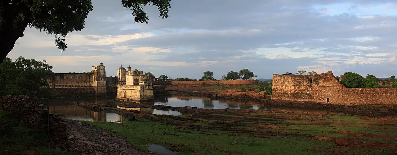
Chittor Fort, also called Chittod Fort, is among India’s largest forts and the former capital of Mewar. Visitors explore its historic palaces, temples, water bodies, memorials and towers.

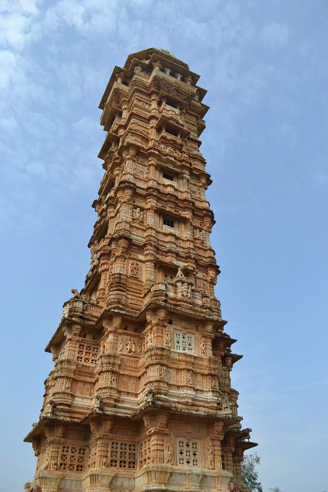
Vijaya Stambha

90 km away · Chittorgarh district

Vijaya Stambha

Vijaya Stambha is a victory tower in Chittor Fort, Chittorgarh district, Rajasthan. Visitors come to see its Rajput architecture and its association with Rana Kumbha’s 1448 triumph.

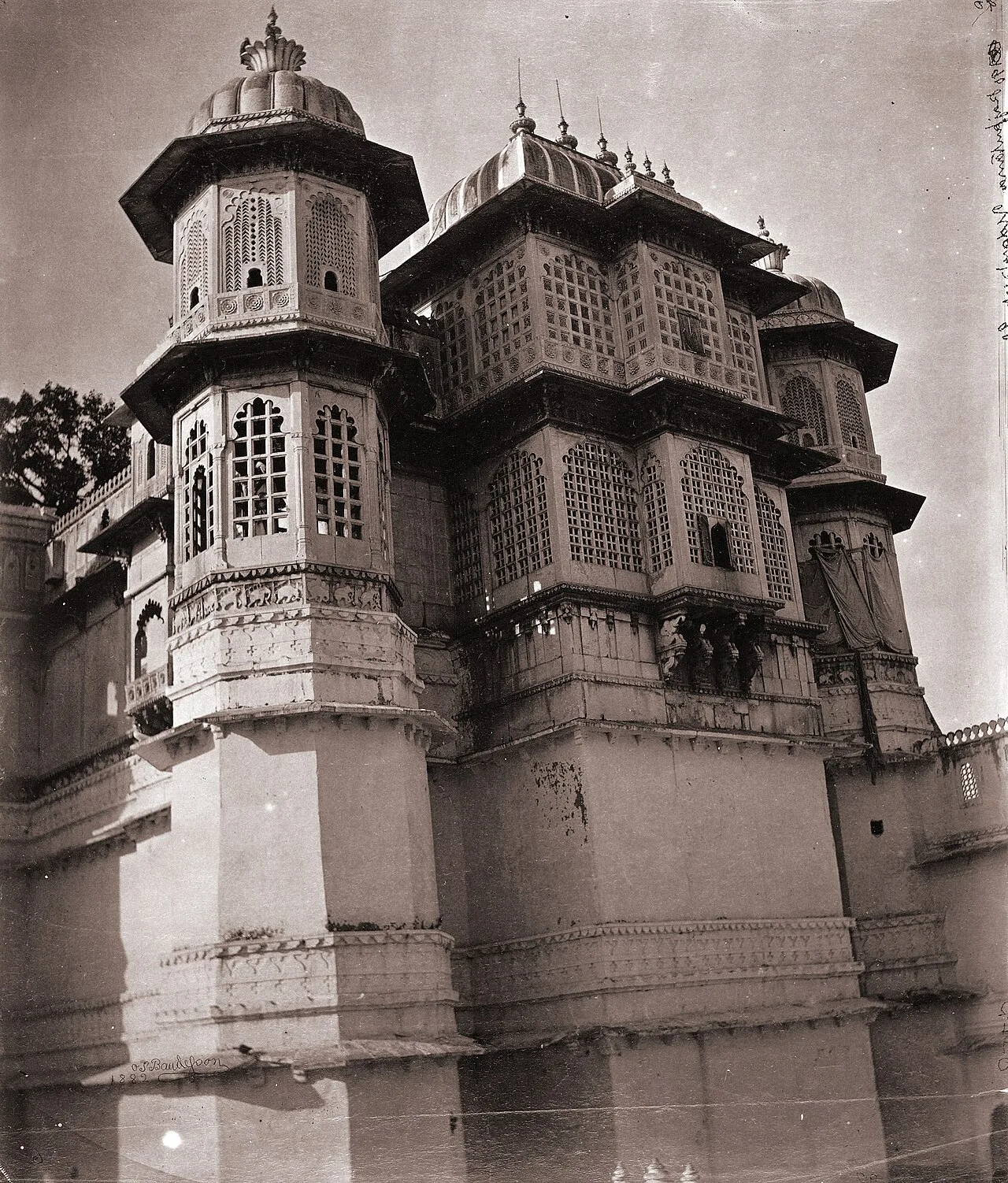
City Palace, Udaipur

93 km away · Udaipur district

City Palace, Udaipur

Udaipur’s City Palace is a historic royal complex shaped by successive Mewar rulers. Visitors come to see its architecture, hilltop setting and views over Lake Pichola.

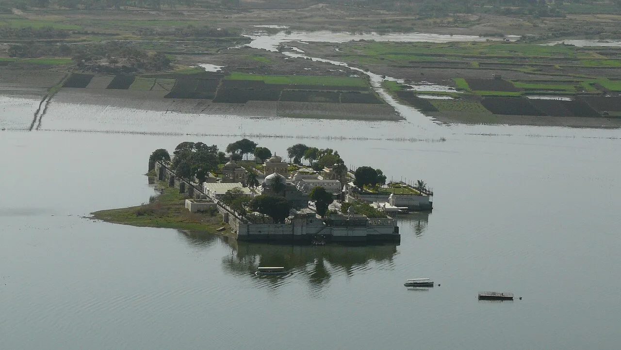
Jag Mandir Palace

93 km away · Udaipur district

Jag Mandir Palace

Set within Lake Pichola in Udaipur, Jag Mandir Palace is a royal island residence. Visitors are drawn to its history, Mughal-influenced design and past as a retreat, celebration venue and place of refuge.

Lake Pichola

93 km away · Udaipur district

Lake Pichola

Lake Pichola, in Udaipur city in the Indian state of Rajasthan, is an artificial freshwater lake, created in the year 1362, named after the nearby Picholi village.

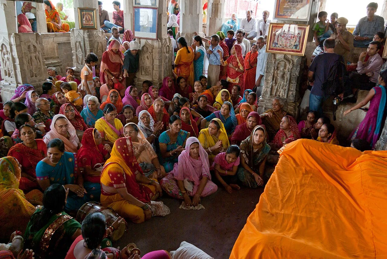
Jagdish Temple

94 km away · Udaipur district

Jagdish Temple

Jagdish Temple is a large Hindu place of worship in central Udaipur, Rajasthan, beside the royal palace. Visitors come to see this prominent city monument and its long-standing place of worship.

Map

Dariawad on the map

  1. 1Dhebar Lake
  2. 2Akola (Dabu Print Village)
  3. 3Chittor Fort
  4. 4Vijaya Stambha
  5. 5City Palace, Udaipur
  6. 6Jag Mandir Palace
  7. 7Lake Pichola
  8. 8Jagdish Temple

Rajasthan

Other cities to explore