Ghumoopedia — Explore, Discover, Experience
Sign in

City guide · Rajasthan

Sanchore

Sanchore is a regional town in Rajasthan’s Jalore district and the headquarters of Sanchore tehsil. Its position on National Highway 68 and the Amritsar–Jamnagar Expressway corridor connects it with settlements across western Rajasthan and neighbouring Gujarat.

Famous for

  • Pathmeda cattle gaushala
  • Narmada Canal entry
  • Barmer–Sanchore oil basin
  • Regional highway junction
  • Historic name Satyapur

Why Sanchore matters

Sanchore is a regional town in Rajasthan’s Jalore district and the headquarters of Sanchore tehsil. Its position on National Highway 68 and the Amritsar–Jamnagar Expressway corridor connects it with settlements across western Rajasthan and neighbouring Gujarat. The town serves as a centre for local administration, trade and services in a largely rural area.

The wider Sanchore region is notable for two major developments: the Narmada Canal enters Rajasthan near Silu village, and the Barmer–Sanchore basin has attracted attention for oil exploration. Nearby Pathmeda is home to Gopal Govardhan Gaushala, a large cattle-care institution that draws visitors with an interest in animal welfare and religious service. Sanchore is not primarily a monument-focused destination; its appeal lies in seeing how transport, agriculture, water infrastructure and pastoral life meet in this part of the state. Visitors often use the town as a base for exploring nearby villages and the surrounding desert-edge landscape.
Famous for: crafts, trade & products

Sanchore is better known for regional commerce and infrastructure than for a nationally recognised textile, handicraft or GI-tagged product. Its shops and markets mainly serve residents and surrounding villages, with everyday goods, agricultural supplies, clothing and household essentials. The central bazaar is the most practical place to browse local businesses and buy provisions; visitors looking for specialist crafts or branded products may find a wider selection in larger regional cities.

The area’s most distinctive economic stories are the oil exploration activity associated with the Barmer–Sanchore basin and the Narmada Canal, which enters Rajasthan near Silu. These are regional developments rather than visitor shopping attractions. Pathmeda village, near Sanchore, is known for Gopal Govardhan Gaushala, an extensive institution caring for cattle. It is a significant place for visitors interested in gaushala work and devotional service, rather than a conventional market or craft centre. No particular local textile, sweet, handicraft or GI-tagged item is widely identified with Sanchore, so it is best to ask shopkeepers about products made or grown in nearby villages.

History

Sanchore has been known historically by the names Satyapur and Muhmdabad. These names reflect the town’s long local history, although detailed accounts of its early rulers and the circumstances behind each name are not consistently documented. Its setting in the Jalore region placed it within the changing political and trading landscape of western Rajasthan, where towns served surrounding settlements and routes across the arid plains.

In more recent times, Sanchore’s role has grown through its administrative position as the tehsil headquarters and its connections to regional roads. National Highway 68 and the Amritsar–Jamnagar Expressway corridor have strengthened its links with Rajasthan and Gujarat. Modern development has also been shaped by water and energy projects: the Narmada Canal reaches Rajasthan near Silu, while oil exploration has focused on the Barmer–Sanchore basin. These changes have added new economic importance to a town whose everyday life remains closely connected to nearby villages, farming and livestock.

Food, festivals & culture

Everyday food in Sanchore reflects the wider Marwari and Rajasthani kitchen: meals commonly draw on wheat, pulses, gram flour, dairy and locally available vegetables. Dal baati churma, bajra roti, gatte ki preparations and simple lentil dishes are familiar regional choices, while sweets such as ghewar and malpua are associated with festive occasions. Menus vary between homes and eateries, so these are regional flavours rather than dishes unique to Sanchore.

Hindi and Marwari are widely used, with local speech reflecting the linguistic mix of western Rajasthan and nearby Gujarat. Diwali and Holi are important annual celebrations; Teej and Gangaur are observed in the broader region, particularly during the monsoon and spring seasons. Religious life centres on local temples and community observances, while Pathmeda’s Gopal Govardhan Gaushala is a notable nearby focus of cattle care and devotional service. Folk music and dance traditions of Rajasthan, including forms performed at seasonal and family celebrations, are part of the wider cultural setting, though performances are not guaranteed on a visitor’s schedule.

Visiting the city

The cooler months, roughly October to March, are generally the most comfortable time to visit; summers can be intensely hot. Jodhpur Airport is a major nearby airport option, while Raniwara is commonly used as a railhead for reaching Sanchore by road. Check current transport connections before setting out, as onward travel may require a taxi or bus.

Within town, autos and local taxis are practical for short trips, and a car is useful for visiting villages farther afield. Explore the central bazaar for everyday town life, then consider the highway-side commercial areas and nearby villages such as Pathmeda. Silu, where the Narmada Canal enters Rajasthan, is another regional point of interest. Sanchore is best approached as a working town and a base for nearby sites rather than a destination with a concentrated historic quarter.

Trips from the city

Nearest places to visit from Sanchore

Our closest destination guides, by straight-line distance.

Mount Abu

96 km away · Sirohi district

Mount Abu

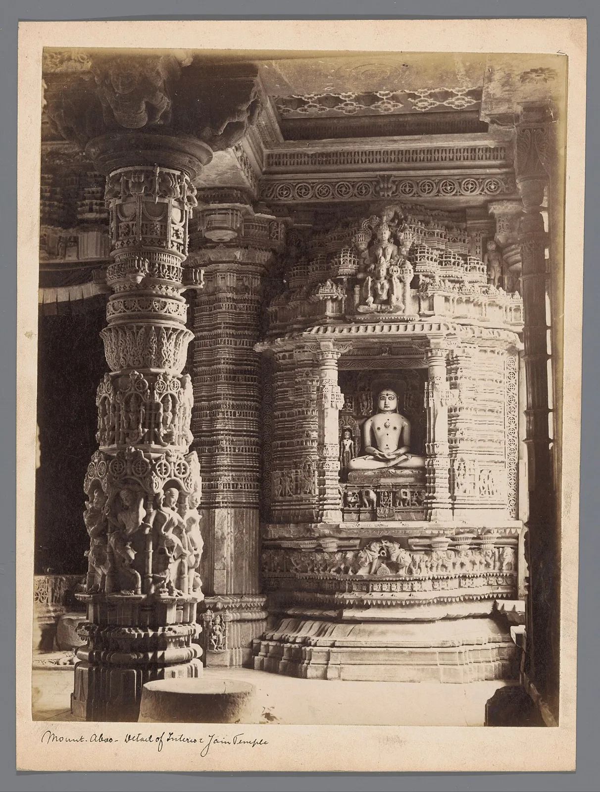
In Rajasthan’s Sirohi district, Mount Abu, also known as Abu Raj, is a hill station on a rocky plateau. Visitors come for its water features, evergreen forests and Hindu and Jain temples.

Nakki Lake

96 km away · Sirohi district

Nakki Lake

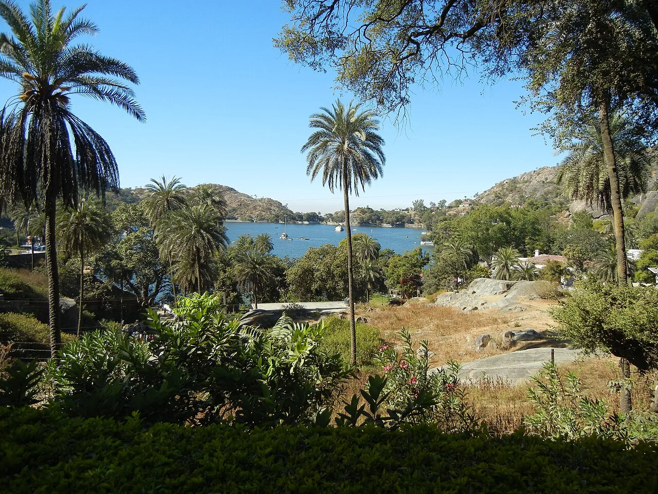
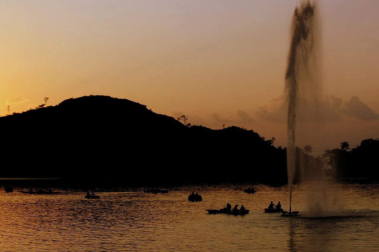
Nakki Lake is a lake at Mount Abu, a hill station in Rajasthan’s Sirohi district and the Aravalli range. Visitors come to see it while spending time at Mount Abu.

Dilwara Temples

97 km away · Sirohi district

Dilwara Temples

Dilwara Temples are a Śvetāmbara Jain complex near Mount Abu, Rajasthan, visited for pilgrimage and admired for their carved marble architecture.

Guru Shikhar

102 km away · Sirohi district

Guru Shikhar

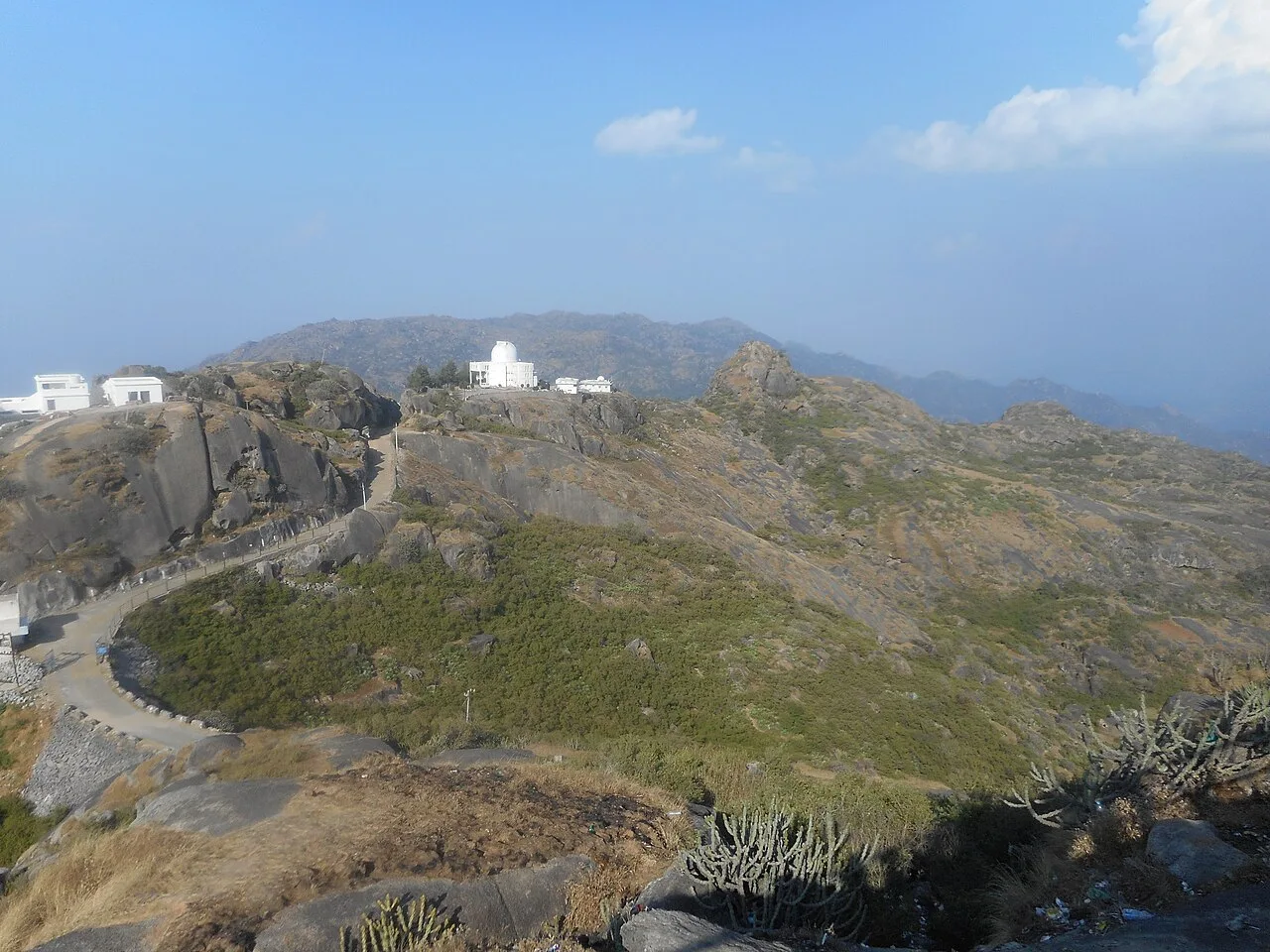
Guru Shikhar is a 1,722-metre summit in Rajasthan’s Arbuda Mountains, valued as the Aravalli Range’s highest point and visited for its hilltop shrines and nearby astronomical observatory.

Kiradu temples

130 km away · Barmer district

Kiradu temples

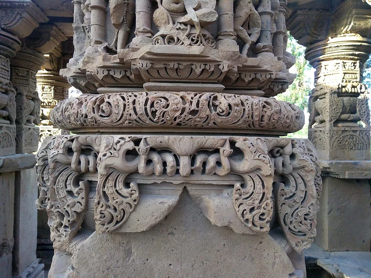
Kiradu is a group of ruined Hindu shrines in Rajasthan’s Thar Desert, visited for its surviving temple remains, particularly Someshvara, a shrine dedicated to Shiva.

Pachpadra

139 km away · Barmer district

Pachpadra

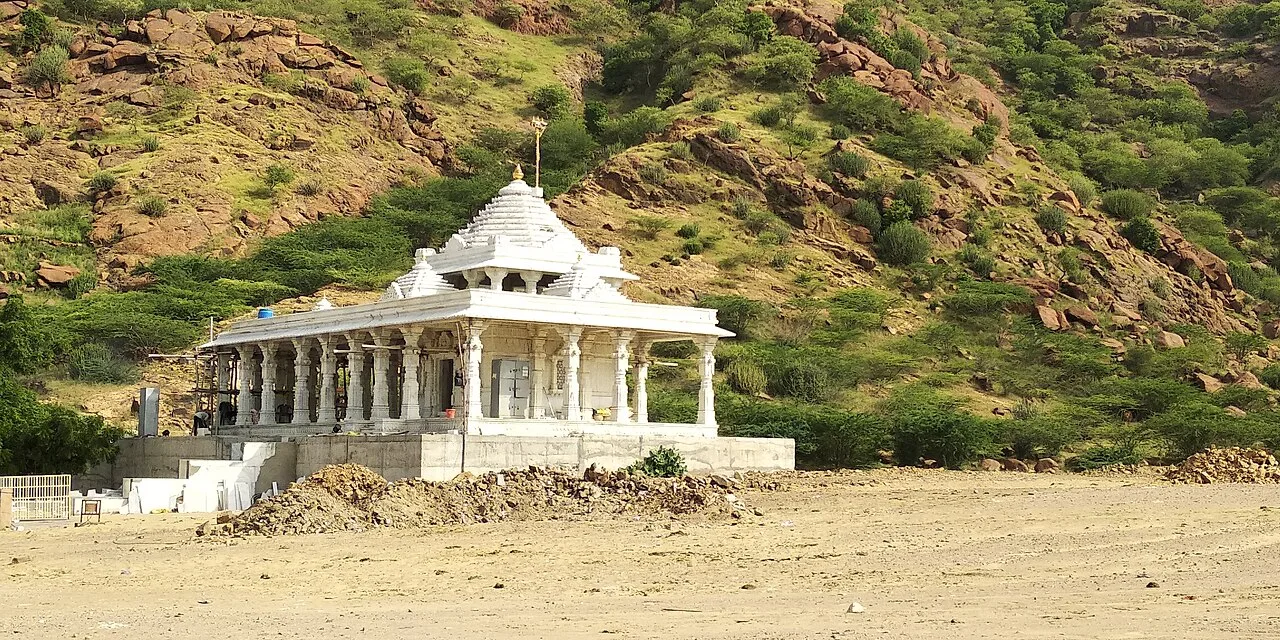
Pachpadra is a town in Rajasthan’s Balotra district, near Balotra city. Visitors may see its salt-gathering lake, while the locality is also known for a large refinery and petrochemical complex.

Ranakpur Jain temple

176 km away · Pali district

Ranakpur Jain temple

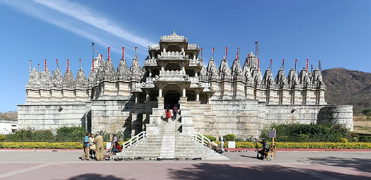
The Ranakpur Jain temple, also known as Chaturmukha Dharana Vihara, is a Śvētāmbara shrine devoted to Rishabhanatha. Jain pilgrims visit this important religious site and its group of associated temples.

Kumbhalgarh

187 km away · Rajsamand district

Kumbhalgarh

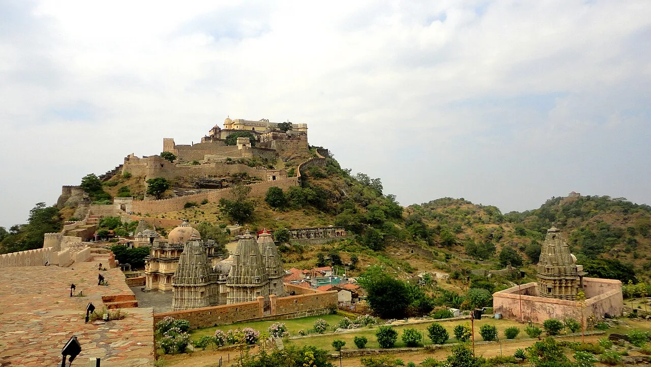
Kumbhalgarh, often called the Great Wall of India, is a 15th-century fortress in Rajasthan’s Aravalli Hills, visited for its fortifications, historical associations and UNESCO World Heritage status.

Map

Sanchore on the map

  1. 1Mount Abu
  2. 2Nakki Lake
  3. 3Dilwara Temples
  4. 4Guru Shikhar
  5. 5Kiradu temples
  6. 6Pachpadra
  7. 7Ranakpur Jain temple
  8. 8Kumbhalgarh

Rajasthan

Other cities to explore