Ghumoopedia — Explore, Discover, Experience
Sign in
Dandi (Salt March Memorial), near Pardi

City guide · Gujarat

Pardi

Pardi is a municipality in Valsad district, in southern Gujarat. Its importance today is largely practical: the town connects nearby communities with the district headquarters at Valsad and with the wider Mumbai–Vadodara corridor.

Famous for

  • Pardi railway station
  • National Highway 48
  • Valsad district access
  • South Gujarat location

Why Pardi matters

Pardi is a municipality in Valsad district, in southern Gujarat. Its importance today is largely practical: the town connects nearby communities with the district headquarters at Valsad and with the wider Mumbai–Vadodara corridor. National Highway 48 passes through Pardi, and its railway station provides another link along the Western Railway route. These connections make the town useful for local travel, commuting and everyday trade, as well as a convenient stop for people moving through the region.

Pardi is not widely known as a major destination for a single monument, craft or signature product. Visitors are more likely to use it as a base for local business or as a way to explore the wider Valsad area. The town’s appeal lies in its position between inland Gujarat and the southern coastal belt, with Valsad and other regional destinations within reach. Its streets, shops and places of worship offer a glimpse of everyday life in a smaller South Gujarat municipality.
Famous for: crafts, trade & products

Pardi is not especially identified with a distinct textile, saree tradition, handicraft or GI-tagged product. Visitors should therefore not expect a recognised specialist shopping quarter or a signature craft market comparable with those in Gujarat’s larger cities. Local shops and market streets cater mainly to residents, with everyday clothing, groceries, household goods and regional foods. For a broader choice of branded goods or specialised shopping, travellers can look to larger towns and cities in the surrounding region.

The town’s better-known role is as a local road and rail point. National Highway 48 passes through it, while Pardi railway station links it to the Western Railway corridor. These connections support routine movement and commerce rather than a specific export or manufacturing identity. Valsad district has varied agricultural and industrial activity, but those wider regional industries should not be mistaken for products uniquely made or marketed in Pardi. For visitors, the town centre and its ordinary shops are the most useful places to browse; ask locally about seasonal produce and regional snacks rather than expecting a dedicated crafts bazaar.

History

Pardi’s development is best understood through its place in southern Gujarat and its links with nearby settlements. It is an established town and municipality in Valsad district, about 14 kilometres south of Valsad city. Its position on a route between the district centre and the southern part of the state helped it serve as a local centre for residents, traders and travellers.

The wider region experienced changes under successive local powers and British rule, but detailed accounts of Pardi’s own rulers and political history are not widely established. The expansion of transport infrastructure brought a more visible change: the railway connected the area to the Mumbai–Vadodara corridor, and National Highway 48 later made road travel through the town especially prominent. In the modern period, Pardi has continued as a municipality serving its surrounding communities, with transport access shaping its everyday role. Its growth is regional and functional rather than centred on a widely documented royal or colonial landmark.

Food, festivals & culture

Gujarati is the principal language of daily life in Pardi. Hindi is also commonly understood, and Marathi may be heard in this southern part of the state. Food reflects familiar Gujarati and wider South Gujarat tastes: meals and snacks may include thepla, dhokla, khaman and seasonal farsan, alongside everyday rice and lentil dishes. These are regional favourites rather than foods unique to Pardi; local shops and eateries are the easiest places to sample them.

Navratri, usually in autumn, brings garba and dandiya gatherings, while Diwali is marked with lights, family visits and festive sweets. Uttarayan, the kite festival in January, and Holi in spring are also observed. Hindu temples and Muslim places of worship serve local communities, though Pardi is not chiefly known for a single major pilgrimage site. Music and dance are generally part of community celebrations, with Gujarati devotional and folk traditions heard at festivals. The atmosphere is that of a working town, where religious observances and seasonal gatherings are woven into everyday routines.

Visiting the city

The cooler, drier months from about October to February are generally the most comfortable time to visit. Pardi railway station is the town’s main rail stop on the Western Railway corridor. Surat Airport is a practical commercial-air connection for many travellers; check current flight options and onward road travel before setting out. National Highway 48 runs through town, and local auto-rickshaws and taxis can help with short journeys, while buses and trains connect with nearby centres.

Begin around the town centre and railway-station area for shops and everyday street life. The highway corridor is useful for onward travel but is less suited to leisurely walks. Pardi can also serve as a base for visiting Valsad and other places in the district. Confirm local transport availability for trips beyond the town, particularly in the evening.

Trips from the city

Nearest places to visit from Pardi

Our closest destination guides, by straight-line distance.

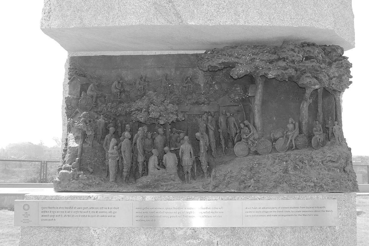
Dandi (Salt March Memorial)

45 km away · Navsari district

Dandi (Salt March Memorial)

Dandi is a coastal village in Gujarat’s Navsari district, visited for its connection to Gandhi’s 1930 Salt March and the memorial commemorating the campaign.

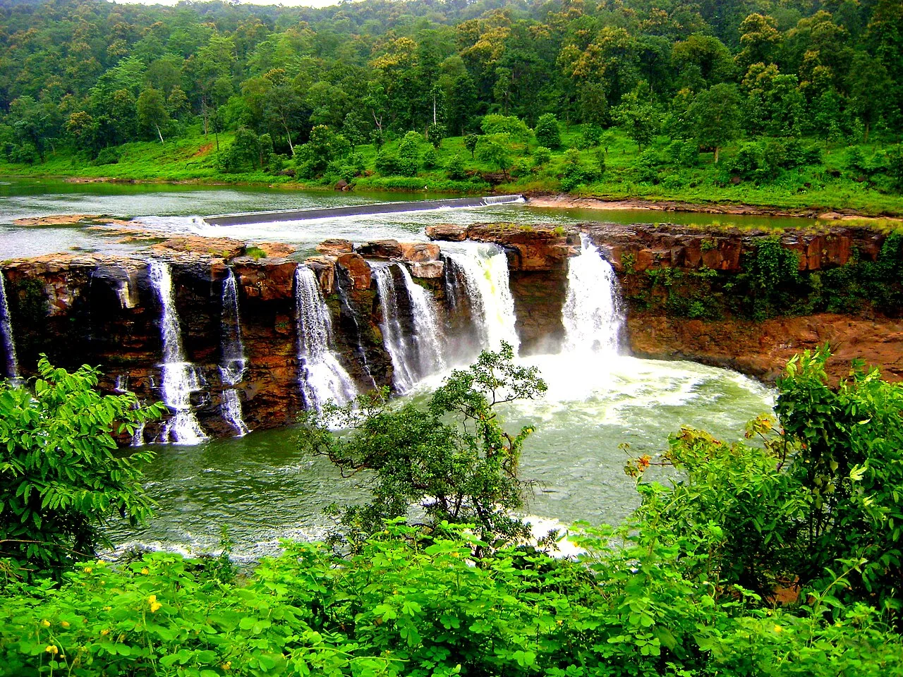
Waghai (Gira Falls)

63 km away · Dang district

Waghai (Gira Falls)

Waghai is a town and taluka in Gujarat’s Dang district, associated with Gira Falls. Visitors come to the area to see the falls and explore this part of the district.

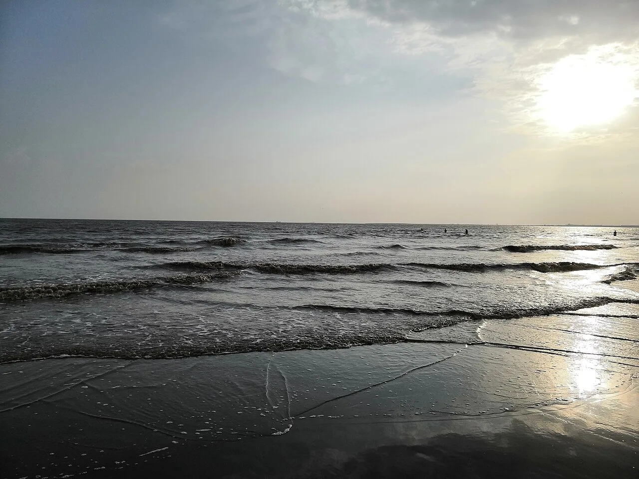
Dumas Beach

68 km away · Surat district

Dumas Beach

Dumas Beach is a rural coastal destination in Surat district, Gujarat, on the Arabian Sea. People visit as part of South Gujarat’s tourism, while the beach is also said to be haunted and was once a burial site.

Saputara

84 km away · Dang district

Saputara

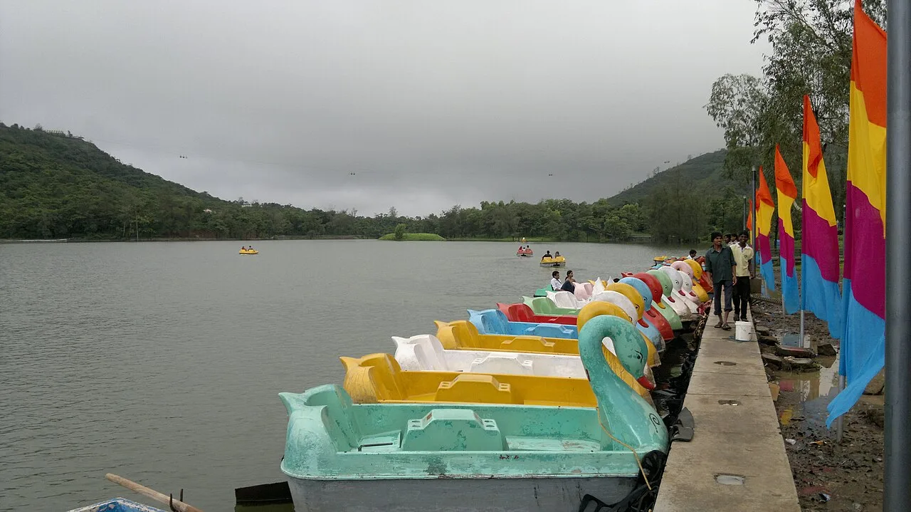
Saputara is a hill station in Gujarat’s Dang district, within the Sahyadris, also called the Western Ghats. People visit it as a recognised tourist destination.

Palitana temples

161 km away · Bhavnagar district

Palitana temples

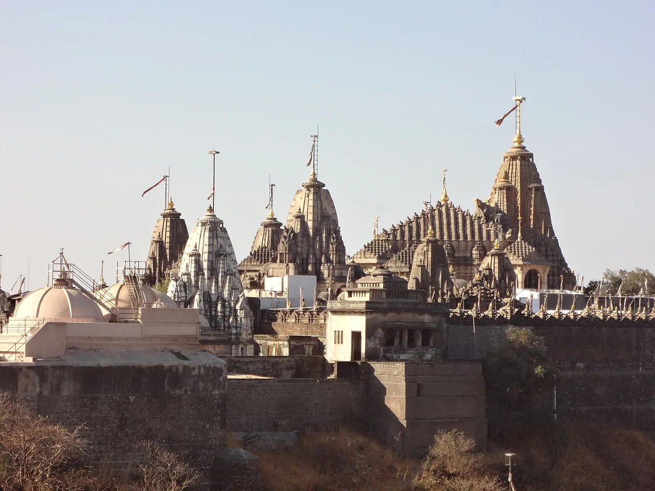
Palitana is a major Jain temple complex on Shatrunjaya Hill in Gujarat. Pilgrims visit its many shrines, especially revered by the Śvetāmbara community and linked with the Tirthankaras.

Shoolpaneshwar Wildlife Sanctuary

165 km away · Narmada district

Shoolpaneshwar Wildlife Sanctuary

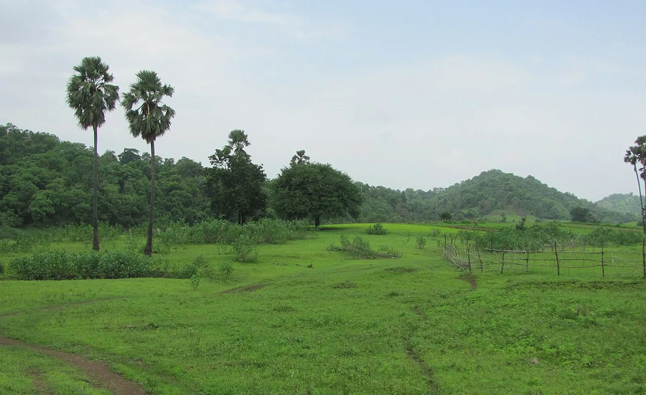
Shoolpaneshwar Wildlife Sanctuary is a 607.7-square-kilometre protected area in Gujarat’s Narmada district. Visitors come to experience its varied forest habitats and natural setting.

Statue of Unity

168 km away · Narmada district

Statue of Unity

The Statue of Unity is a 182-metre tribute to Sardar Patel in Gujarat’s Narmada valley. Visitors come to see the world’s tallest statue and its commemoration of Patel’s role in India’s political integration.

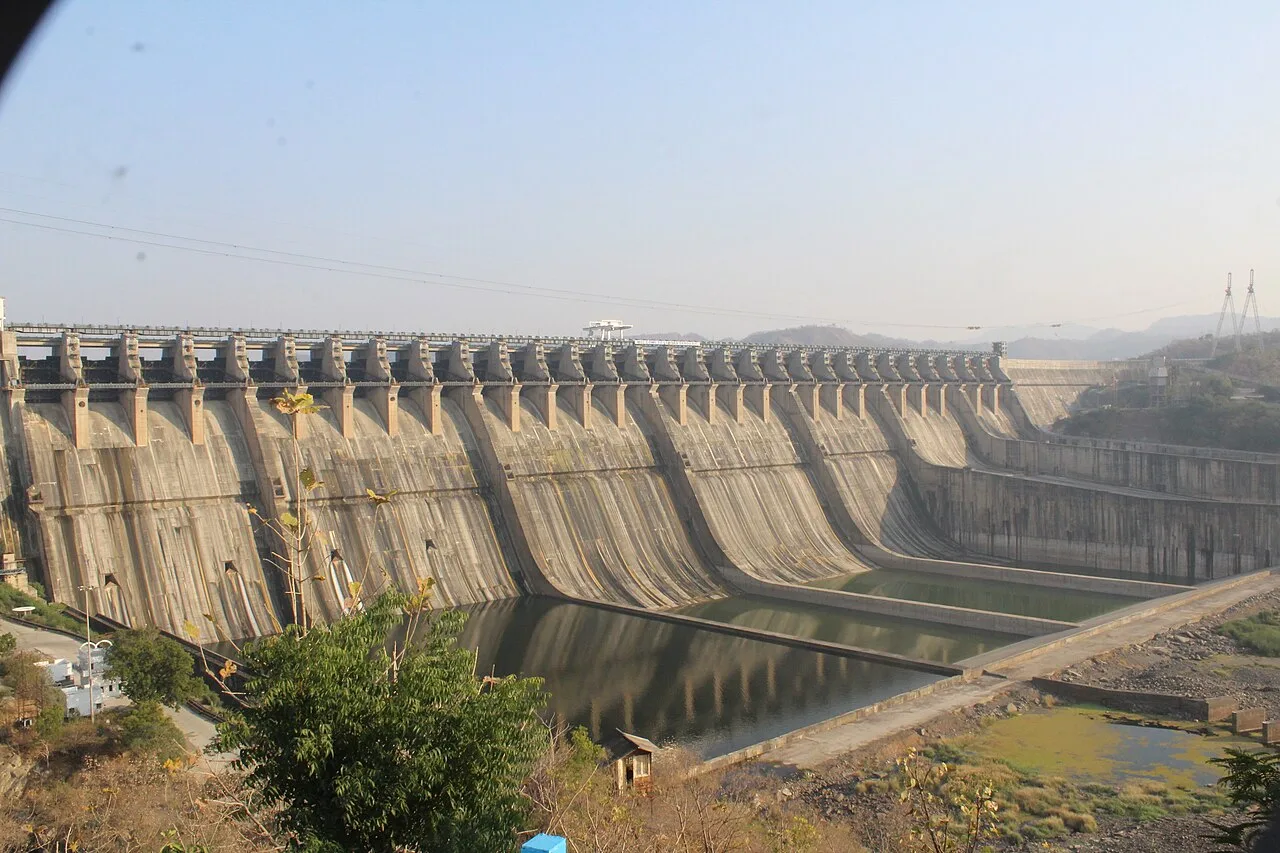
Sardar Sarovar Dam

169 km away · Narmada district

Sardar Sarovar Dam

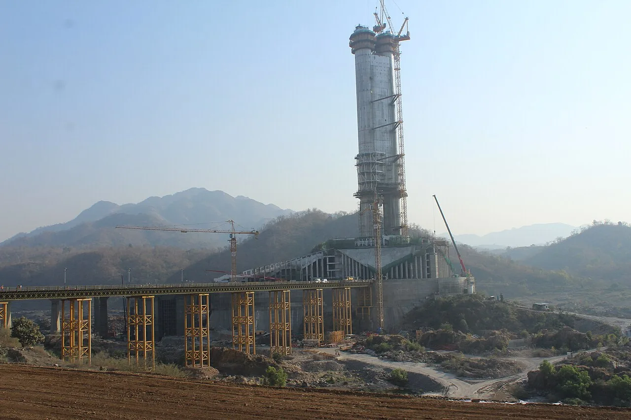
Sardar Sarovar Dam is a major concrete structure on the Narmada, built to support irrigation and power generation. Visitors may be interested in its scale and its role in the river’s development.

Map

Pardi on the map

  1. 1Dandi (Salt March Memorial)
  2. 2Waghai (Gira Falls)
  3. 3Dumas Beach
  4. 4Saputara
  5. 5Palitana temples
  6. 6Shoolpaneshwar Wildlife Sanctuary
  7. 7Statue of Unity
  8. 8Sardar Sarovar Dam

Gujarat

Other cities to explore