Ghumoopedia — Explore, Discover, Experience
Sign in
Gir National Park, near Chalala

City guide · Gujarat

Chalala

Chalala is a small municipal town in Amreli district, in the Saurashtra region of Gujarat. Its importance is chiefly local: it serves residents and nearby settlements, with everyday civic services and shops rather than the profile of a major tourist centre.

Famous for

  • Amreli district municipality
  • Saurashtra regional setting
  • Gujarati-speaking community

Why Chalala matters

Chalala is a small municipal town in Amreli district, in the Saurashtra region of Gujarat. Its importance is chiefly local: it serves residents and nearby settlements, with everyday civic services and shops rather than the profile of a major tourist centre. The town lies at about 160 metres above sea level, in a part of Gujarat where town life is closely connected to the surrounding countryside and district networks.

Visitors are most likely to come for local connections, family visits or as part of a wider journey through Amreli district. Chalala is not widely associated with a nationally known monument, signature craft or major visitor attraction, so it is best approached as a lived-in regional town rather than a destination built around sightseeing. A walk through its central streets can offer a modest impression of local commerce and Gujarati daily life. For broader historical sites, services and excursions, travellers may need to look to other towns in the district. Its value to visitors lies in this quieter, less staged view of Saurashtra.
Famous for: crafts, trade & products

Chalala is not especially documented as a centre for a particular textile, handicraft, GI-tagged product or large industry. It would therefore be misleading to present a specific saree, craft or manufactured good as the town’s signature. Its commercial role is more local: residents can find everyday goods and services in the town’s shops, while larger or more specialised purchases may require a trip to a bigger district or regional centre.

The surrounding Amreli district is part of an agricultural region, and local trade reflects the needs of rural communities as well as town residents. Visitors can look around the central market streets for routine provisions and locally prepared snacks, but should not expect a dedicated craft bazaar or a formal visitor market. For regional produce or specialist goods, ask locally about current sellers and markets rather than relying on a fixed list of outlets. Chalala’s identity is best understood through its role as a small municipal and service centre, not through a widely recognised export or signature product.

History

Chalala’s documented profile is that of a town and municipality in Amreli district; a detailed founding story, named early ruler or landmark event specific to the town is not widely established. Its growth is best understood in the context of Saurashtra, where settlements developed around local administration, trade and the needs of surrounding rural communities.

The wider Kathiawar region was historically divided among princely states and came under British paramountcy during the colonial period. Political integration after independence reshaped these former jurisdictions, and Gujarat became a separate state in 1960. These regional changes provide context for Chalala’s modern setting, but should not be mistaken for a documented town-specific chronology. In recent decades, its municipal status has continued to make it a local centre for civic life and everyday commerce. For detailed family, land or institutional histories, local records and community accounts are likely to offer more than broad regional summaries.

Food, festivals & culture

Gujarati is the principal language of everyday life, with regional Saurashtrian speech and customs shaping local conversation. Food is likely to reflect familiar Gujarati home cooking: rotli, vegetables, pulses, rice and snacks, with sweet and savoury dishes varying by household and season.

Navratri, usually in autumn, brings devotional observances and, where organised, garba; Diwali is marked in autumn, while Janmashtami falls during the monsoon season. These are broad Gujarati traditions, and the scale of celebrations can differ from one neighbourhood to another. Local worship and community gatherings are part of town life, but no single major shrine or performance tradition is established as a defining attraction of Chalala. Visitors can ask residents about current festival events and customary places of worship, observing local etiquette when entering religious spaces.

Visiting the city

The cooler months, roughly November to February, are generally more comfortable for exploring Gujarat; summer can be very hot, while monsoon conditions may affect road journeys. Diu Airport is a nearby airport option, though routes and onward connections should be checked before travel. Chalala has a railway station; confirm current services and connections when planning, as smaller-station service patterns can change.

Within town, local streets are easiest to explore on foot for short visits; auto-rickshaws or taxis may be useful for longer trips, subject to local availability. Start around the central commercial area for shops and everyday town life, then explore residential streets respectfully. The surrounding countryside can be interesting on a regional drive, but arrange transport in advance and confirm road conditions locally. Chalala is a modest town, so travellers seeking a broader range of visitor facilities may use larger district centres as their base.

Trips from the city

Nearest places to visit from Chalala

Our closest destination guides, by straight-line distance.

Gir National Park

49 km away · Gir Somnath district

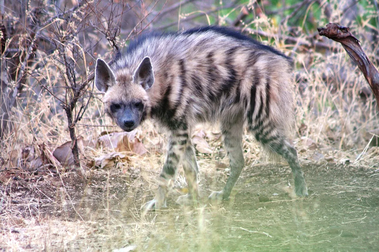
Gir National Park

Gir National Park, also called Sasan Gir, is a protected area in Gujarat known for its Asiatic lions. Visitors come to see its wildlife and forest landscape.

Palitana temples

65 km away · Bhavnagar district

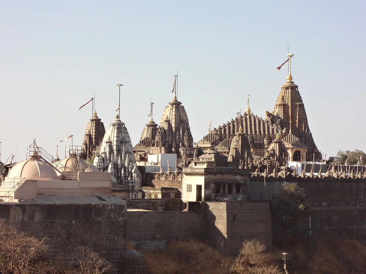
Palitana temples

Palitana is a major Jain temple complex on Shatrunjaya Hill in Gujarat. Pilgrims visit its many shrines, especially revered by the Śvetāmbara community and linked with the Tirthankaras.

Girnar Hill

69 km away · Junagadh district

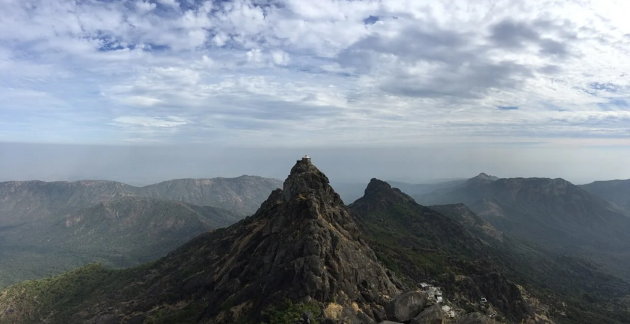
Girnar Hill

Girnar is a hill in Junagadh, Gujarat, revered as a Jain Mahatirth. Pilgrims visit in connection with traditions about Neminath, the 22nd Tirthaṅkar, and the hill’s highest summit.

Uparkot Fort

73 km away · Junagadh district

Uparkot Fort

Uparkot Fort is a fort in Junagadh district, Gujarat, on the eastern side of Junagadh. Visitors come to see the fort and its location within the city.

Mahabat Maqbara complex

74 km away · Junagadh district

Mahabat Maqbara complex

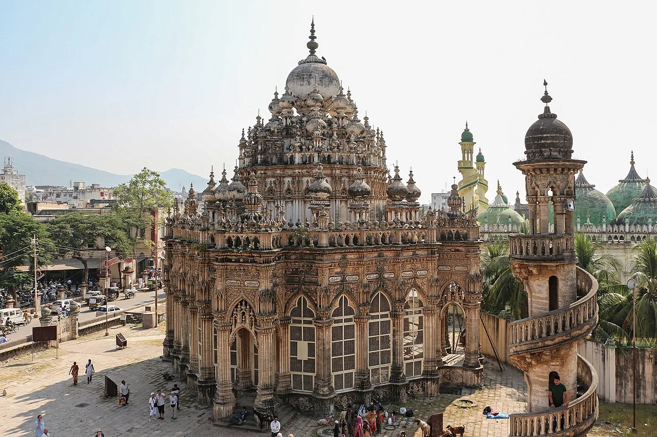
The Mahabat Maqbara complex in Junagadh, Gujarat, contains two mausoleums; visitors come to see memorials dedicated to Nawab Mahabat Khan II and his minister.

Sakkarbaug Zoological Garden

74 km away · Junagadh district

Sakkarbaug Zoological Garden

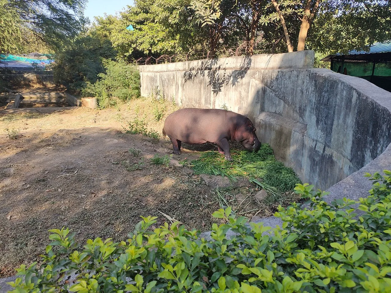
In Junagadh, Gujarat, Sakkarbaug Zoological Garden is an 84-hectare zoo established in 1863. Visitors come to see the zoo and its part in captive breeding programmes for Asiatic lions.

Bhalka Tirtha

98 km away · Gir Somnath district

Bhalka Tirtha

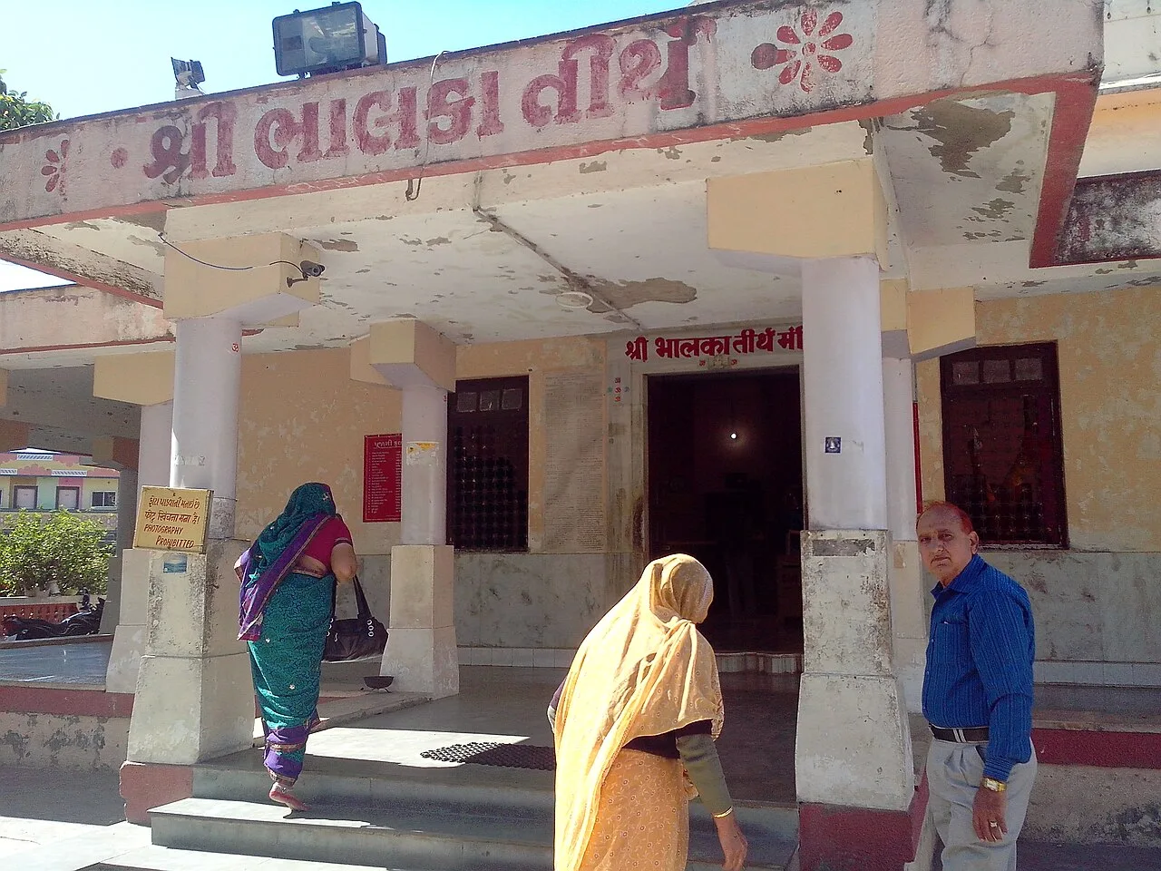
Bhalka Tirtha is a shrine in Veraval, Gujarat, associated with Krishna’s departure from earthly life. Visitors come to honour this event and include the site in Krishna pilgrimage journeys.

Somnath Temple

98 km away · Gir Somnath district

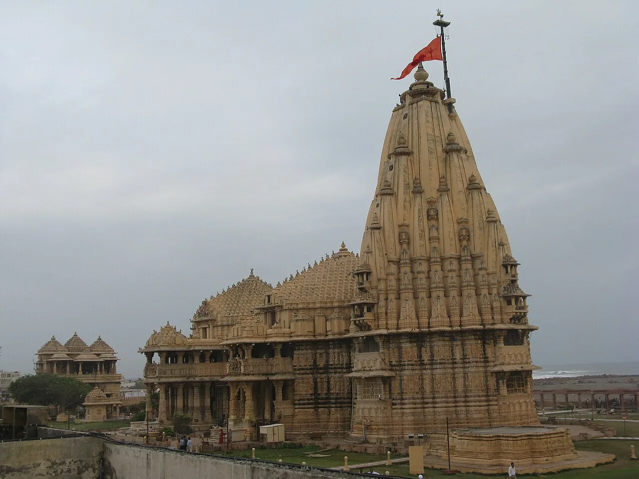
Somnath Temple

At Prabhas Patan near Veraval, Somnath is a Hindu shrine associated with Shiva and a major pilgrimage destination, revered as the foremost of the twelve Jyotirlinga sites.

Map

Chalala on the map

  1. 1Gir National Park
  2. 2Palitana temples
  3. 3Girnar Hill
  4. 4Uparkot Fort
  5. 5Mahabat Maqbara complex
  6. 6Sakkarbaug Zoological Garden
  7. 7Bhalka Tirtha
  8. 8Somnath Temple

Gujarat

Other cities to explore